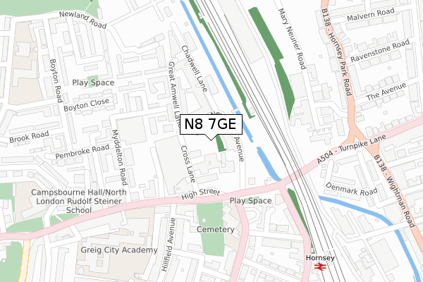
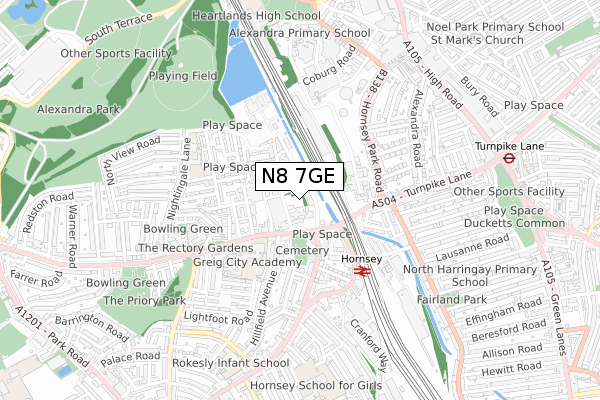
N8 7GE is located in the Hornsey electoral ward, within the London borough of Haringey and the English Parliamentary constituency of Hornsey and Wood Green. The Sub Integrated Care Board (ICB) Location is NHS North Central London ICB - 93C and the police force is Metropolitan Police. This postcode has been in use since February 2020.


GetTheData
Source: OS Open Zoomstack (Ordnance Survey)
Licence: Open Government Licence (requires attribution)
Attribution: Contains OS data © Crown copyright and database right 2025
Source: Open Postcode Geo
Licence: Open Government Licence (requires attribution)
Attribution: Contains OS data © Crown copyright and database right 2025; Contains Royal Mail data © Royal Mail copyright and database right 2025; Source: Office for National Statistics licensed under the Open Government Licence v.3.0
| Easting | 530649 |
| Northing | 189478 |
| Latitude | 51.589018 |
| Longitude | -0.115467 |
GetTheData
Source: Open Postcode Geo
Licence: Open Government Licence
| Country | England |
| Postcode District | N8 |
➜ See where N8 is on a map | |
GetTheData
Source: Land Registry Price Paid Data
Licence: Open Government Licence
| Ward | Hornsey |
| Constituency | Hornsey And Wood Green |
GetTheData
Source: ONS Postcode Database
Licence: Open Government Licence
| Tottenham Lane Turnpike Lane (High Street Hornsey) | Hornsey | 152m |
| Tottenham Lane Turnpike Lane (Hornsey Road) | Hornsey | 173m |
| Myddelton Road (Hornsey High Street) | Hornsey | 236m |
| Myddelton Road (Hornsey High Street) | Hornsey | 272m |
| Wightman Road Turnpike Lane (Turnpike Lane) | Hornsey | 293m |
| Turnpike Lane Underground Station | Turnpike Lane | 880m |
| Wood Green Underground Station | Wood Green | 1,018m |
| Hornsey Station | 0.4km |
| Alexandra Palace Station | 1km |
| Harringay Station | 1.5km |
GetTheData
Source: NaPTAN
Licence: Open Government Licence
GetTheData
Source: ONS Postcode Database
Licence: Open Government Licence


➜ Get more ratings from the Food Standards Agency
GetTheData
Source: Food Standards Agency
Licence: FSA terms & conditions
| Last Collection | |||
|---|---|---|---|
| Location | Mon-Fri | Sat | Distance |
| Hillfield Avenue/Temple Road | 17:30 | 12:00 | 279m |
| Hornsey Delivery Office | 17:30 | 12:00 | 377m |
| 24 High Street | 17:30 | 12:00 | 405m |
GetTheData
Source: Dracos
Licence: Creative Commons Attribution-ShareAlike
The below table lists the International Territorial Level (ITL) codes (formerly Nomenclature of Territorial Units for Statistics (NUTS) codes) and Local Administrative Units (LAU) codes for N8 7GE:
| ITL 1 Code | Name |
|---|---|
| TLI | London |
| ITL 2 Code | Name |
| TLI4 | Inner London - East |
| ITL 3 Code | Name |
| TLI43 | Haringey and Islington |
| LAU 1 Code | Name |
| E09000014 | Haringey |
GetTheData
Source: ONS Postcode Directory
Licence: Open Government Licence
The below table lists the Census Output Area (OA), Lower Layer Super Output Area (LSOA), and Middle Layer Super Output Area (MSOA) for N8 7GE:
| Code | Name | |
|---|---|---|
| OA | E00170316 | |
| LSOA | E01033085 | Haringey 020E |
| MSOA | E02000416 | Haringey 020 |
GetTheData
Source: ONS Postcode Directory
Licence: Open Government Licence
| N8 7QF | New River Avenue | 39m |
| N8 7QE | New River Avenue | 41m |
| N8 7RF | Chadwell Lane | 86m |
| N8 7QG | High Street | 98m |
| N8 7SE | Moselle Close | 125m |
| N8 7QB | High Street | 131m |
| N8 7RZ | Chadwell Lane | 136m |
| N8 7RW | Chadwell Lane | 164m |
| N8 7RX | Chadwell Lane | 164m |
| N8 7NT | High Street | 168m |
GetTheData
Source: Open Postcode Geo; Land Registry Price Paid Data
Licence: Open Government Licence