Property/Postcode Data Search:
N4 3FP maps, stats, and open data
N4 3FP is located in the Finsbury Park electoral ward, within the London borough of Islington and the English Parliamentary constituency of Islington North. The Sub Integrated Care Board (ICB) Location is NHS North Central London ICB - 93C and the police force is Metropolitan Police. This postcode has been in use since August 2018.
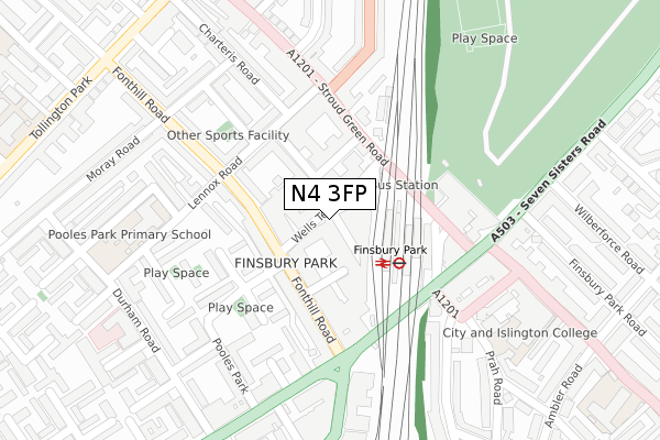
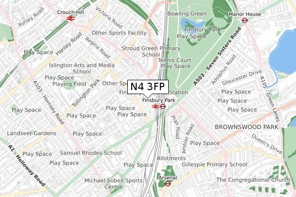
N4 3FP maps


Source: OS Open Zoomstack (Ordnance Survey)
Licence: Open Government Licence (requires attribution)
Attribution: Contains OS data © Crown copyright and database right 2025
Source: Open Postcode Geo
Licence: Open Government Licence (requires attribution)
Attribution: Contains OS data © Crown copyright and database right 2025; Contains Royal Mail data © Royal Mail copyright and database right 2025; Source: Office for National Statistics licensed under the Open Government Licence v.3.0
Licence: Open Government Licence (requires attribution)
Attribution: Contains OS data © Crown copyright and database right 2025
Source: Open Postcode Geo
Licence: Open Government Licence (requires attribution)
Attribution: Contains OS data © Crown copyright and database right 2025; Contains Royal Mail data © Royal Mail copyright and database right 2025; Source: Office for National Statistics licensed under the Open Government Licence v.3.0
N4 3FP geodata
| Easting | 531232 |
| Northing | 186821 |
| Latitude | 51.565006 |
| Longitude | -0.108048 |
Where is N4 3FP?
| Country | England |
| Postcode District | N4 |
Politics
| Ward | Finsbury Park |
|---|---|
| Constituency | Islington North |
Transport
Nearest bus stops to N4 3FP
| Finsbury Park (Clifton Terrace) | Finsbury Park | 62m |
| Finsbury Park Bus Station (Wells Terrace Bus Station) | Finsbury Park | 101m |
| Finsbury Park Bus Station (Wells Terrace Bus Station) | Finsbury Park | 102m |
| Finsbury Park Bus Station (Wells Terrace Bus Station) | Finsbury Park | 103m |
| Finsbury Park (Morris Place) | Finsbury Park | 116m |
Nearest underground/metro/tram to N4 3FP
| Finsbury Park Underground Station | Finsbury Park | 128m |
| Arsenal Underground Station | Arsenal | 708m |
| Manor House Underground Station | Manor House | 1,046m |
| Holloway Road Underground Station | Holloway Road | 1,415m |
Nearest railway stations to N4 3FP
| Finsbury Park Station | 0.1km |
| Crouch Hill Station | 0.9km |
| Drayton Park Station | 1.4km |
Deprivation
80.9% of English postcodes are less deprived than N4 3FP:Food Standards Agency
Three nearest food hygiene ratings to N4 3FP (metres)
Rosa's Thai Cafe

Rosa's Thai Cafe
0m
Someday

Someday
11m
Palmyra's Kitchen

Palmyra's Kitchen
28m
➜ Get more ratings from the Food Standards Agency
Nearest post box to N4 3FP
| Last Collection | |||
|---|---|---|---|
| Location | Mon-Fri | Sat | Distance |
| Fonthill Road/Goodwin Street | 17:30 | 12:00 | 100m |
| Lennox Road | 17:30 | 12:00 | 154m |
| Durham Road | 17:30 | 12:00 | 316m |
N4 3FP ITL and N4 3FP LAU
The below table lists the International Territorial Level (ITL) codes (formerly Nomenclature of Territorial Units for Statistics (NUTS) codes) and Local Administrative Units (LAU) codes for N4 3FP:
| ITL 1 Code | Name |
|---|---|
| TLI | London |
| ITL 2 Code | Name |
| TLI4 | Inner London - East |
| ITL 3 Code | Name |
| TLI43 | Haringey and Islington |
| LAU 1 Code | Name |
| E09000019 | Islington |
N4 3FP census areas
The below table lists the Census Output Area (OA), Lower Layer Super Output Area (LSOA), and Middle Layer Super Output Area (MSOA) for N4 3FP:
| Code | Name | |
|---|---|---|
| OA | E00013607 | |
| LSOA | E01002735 | Islington 003A |
| MSOA | E02000556 | Islington 003 |
Nearest postcodes to N4 3FP
| N4 3JP | Clifton Terrace | 78m |
| N4 3JH | Fonthill Road | 80m |
| N4 3HT | Fonthill Road | 113m |
| N4 3JJ | Lenton Terrace | 124m |
| N4 3HP | Fonthill Road | 131m |
| N4 3HS | Lennox Road | 132m |
| N4 3HF | Fonthill Road | 144m |
| N4 3JQ | Lennox Road | 149m |
| N4 3HR | Lennox Road | 153m |
| N4 3FB | Stroud Green Road | 160m |