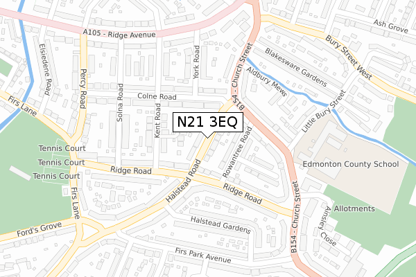
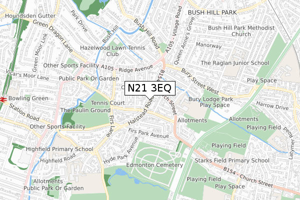
N21 3EQ is located in the Winchmore Hill electoral ward, within the London borough of Enfield and the English Parliamentary constituency of Enfield, Southgate. The Sub Integrated Care Board (ICB) Location is NHS North Central London ICB - 93C and the police force is Metropolitan Police. This postcode has been in use since April 2020.


GetTheData
Source: OS Open Zoomstack (Ordnance Survey)
Licence: Open Government Licence (requires attribution)
Attribution: Contains OS data © Crown copyright and database right 2025
Source: Open Postcode Geo
Licence: Open Government Licence (requires attribution)
Attribution: Contains OS data © Crown copyright and database right 2025; Contains Royal Mail data © Royal Mail copyright and database right 2025; Source: Office for National Statistics licensed under the Open Government Licence v.3.0
| Easting | 531102 |
| Northing | 194119 |
| Latitude | 51.630619 |
| Longitude | -0.107197 |
GetTheData
Source: Open Postcode Geo
Licence: Open Government Licence
| Country | England |
| Postcode District | N21 |
➜ See where N21 is on a map ➜ Where is London? | |
GetTheData
Source: Land Registry Price Paid Data
Licence: Open Government Licence
| Ward | Winchmore Hill |
| Constituency | Enfield, Southgate |
GetTheData
Source: ONS Postcode Database
Licence: Open Government Licence
4, WISTERIA LANE, LONDON, N21 3EQ 2022 7 OCT £1,995,000 |
4, WISTERIA LANE, LONDON, N21 3EQ 2021 6 JUL £2,100,000 |
10, WISTERIA LANE, LONDON, N21 3EQ 2021 6 JUL £2,400,000 |
6, WISTERIA LANE, LONDON, N21 3EQ 2021 21 MAY £2,100,000 |
8, WISTERIA LANE, LONDON, N21 3EQ 2021 19 MAY £2,070,000 |
2, WISTERIA LANE, LONDON, N21 3EQ 2021 7 MAY £2,100,000 |
GetTheData
Source: HM Land Registry Price Paid Data
Licence: Contains HM Land Registry data © Crown copyright and database right 2025. This data is licensed under the Open Government Licence v3.0.
| Winchmore Hill The Green | Winchmore Hill | 533m |
| Winchmore Hill The Green | Winchmore Hill | 541m |
| Highfield Road (Green Lanes) | Palmers Green | 672m |
| Woodberry Avenue (Green Lanes) | Palmers Green | 684m |
| Highfield Road (Green Lanes) | Palmers Green | 688m |
| Southgate Underground Station | Southgate | 1,438m |
| Winchmore Hill Station | 0.6km |
| Palmers Green Station | 1.4km |
| Grange Park Station | 1.5km |
GetTheData
Source: NaPTAN
Licence: Open Government Licence
GetTheData
Source: ONS Postcode Database
Licence: Open Government Licence


➜ Get more ratings from the Food Standards Agency
GetTheData
Source: Food Standards Agency
Licence: FSA terms & conditions
| Last Collection | |||
|---|---|---|---|
| Location | Mon-Fri | Sat | Distance |
| Woodlands Way N21 | 17:30 | 12:00 | 138m |
| Seaforth Gardens/Broad Walk | 17:30 | 12:00 | 262m |
| 160 Hoppers Road/Fernleigh Roa | 17:30 | 12:00 | 306m |
GetTheData
Source: Dracos
Licence: Creative Commons Attribution-ShareAlike
The below table lists the International Territorial Level (ITL) codes (formerly Nomenclature of Territorial Units for Statistics (NUTS) codes) and Local Administrative Units (LAU) codes for N21 3EQ:
| ITL 1 Code | Name |
|---|---|
| TLI | London |
| ITL 2 Code | Name |
| TLI5 | Outer London - East and North East |
| ITL 3 Code | Name |
| TLI54 | Enfield |
| LAU 1 Code | Name |
| E09000010 | Enfield |
GetTheData
Source: ONS Postcode Directory
Licence: Open Government Licence
The below table lists the Census Output Area (OA), Lower Layer Super Output Area (LSOA), and Middle Layer Super Output Area (MSOA) for N21 3EQ:
| Code | Name | |
|---|---|---|
| OA | E00007767 | |
| LSOA | E01001568 | Enfield 022D |
| MSOA | E02000298 | Enfield 022 |
GetTheData
Source: ONS Postcode Directory
Licence: Open Government Licence
| N21 3QP | Woodcroft | 64m |
| N21 3QN | Woodcroft | 108m |
| N21 3PY | Woodland Way | 117m |
| N21 3BX | Broad Walk | 133m |
| N21 3PX | Woodland Way | 162m |
| N21 3QL | Hillfield Park | 185m |
| N21 3BU | Broad Walk | 188m |
| N21 3PT | Downes Court | 226m |
| N21 3BY | Broad Walk | 229m |
| N21 3PS | Downes Court | 257m |
GetTheData
Source: Open Postcode Geo; Land Registry Price Paid Data
Licence: Open Government Licence