N1 1XP maps, stats, and open data
- Home
- Postcode
- N
- N1
- N1 1
N1 1XP is located in the Caledonian electoral ward, within the London borough of Islington and the English Parliamentary constituency of Islington South and Finsbury. The Sub Integrated Care Board (ICB) Location is NHS North Central London ICB - 93C and the police force is Metropolitan Police. This postcode has been in use since January 2018.
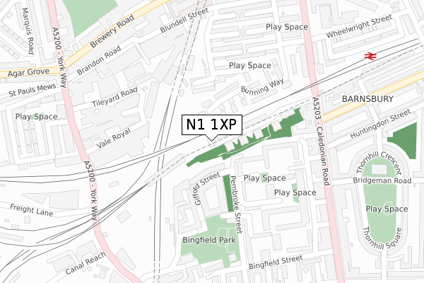
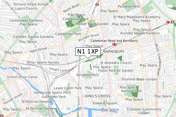
N1 1XP maps


Source: OS Open Zoomstack (Ordnance Survey)
Licence: Open Government Licence (requires attribution)
Attribution: Contains OS data © Crown copyright and database right 2025
Source: Open Postcode GeoLicence: Open Government Licence (requires attribution)
Attribution: Contains OS data © Crown copyright and database right 2025; Contains Royal Mail data © Royal Mail copyright and database right 2025; Source: Office for National Statistics licensed under the Open Government Licence v.3.0
N1 1XP geodata
| Easting | 530406 |
| Northing | 184215 |
| Latitude | 51.541778 |
| Longitude | -0.120923 |
Where is N1 1XP?
| Country | England |
| Postcode District | N1 |
Politics
| Ward | Caledonian |
|---|
| Constituency | Islington South And Finsbury |
|---|
Transport
Nearest bus stops to N1 1XP
| Caledonian Road & Barnsbury Station (Caledonian Road) | Barnsbury | 262m |
| Caledonian Road & Barnsbury Station (Caledonian Road) | Barnsbury | 294m |
| Vale Royal Maiden Lane | Camden Town | 312m |
| Story Street (Caledonian Road) | Barnsbury | 315m |
| York Way Freight Lane | Barnsbury | 336m |
Nearest underground/metro/tram to N1 1XP
| Caledonian Road Underground Station | Caledonian Road | 769m |
| King's Cross St. Pancras Underground Station | King's Cross | 1,246m |
| Highbury & Islington Underground Station | Highbury & Islington | 1,324m |
| Holloway Road Underground Station | Holloway Road | 1,327m |
| Angel Underground Station | Angel | 1,458m |
Nearest railway stations to N1 1XP
| Caledonian Road & Barnsbury Station | 0.3km |
| London St Pancras International Station | 1.1km |
| London St Pancras International LL Station | 1.2km |
Broadband
Broadband access in N1 1XP (2020 data)
| Percentage of properties with Next Generation Access | 100.0% |
| Percentage of properties with Superfast Broadband | 100.0% |
| Percentage of properties with Ultrafast Broadband | 100.0% |
| Percentage of properties with Full Fibre Broadband | 100.0% |
Superfast Broadband is between 30Mbps and 300Mbps
Ultrafast Broadband is > 300Mbps
Broadband limitations in N1 1XP (2020 data)
| Percentage of properties unable to receive 2Mbps | 0.0% |
| Percentage of properties unable to receive 5Mbps | 0.0% |
| Percentage of properties unable to receive 10Mbps | 0.0% |
| Percentage of properties unable to receive 30Mbps | 0.0% |
Deprivation
76.3% of English postcodes are less deprived than
N1 1XP:
Food Standards Agency
Three nearest food hygiene ratings to N1 1XP (metres)
Vinyl Cafe
Soto Coffee
Best Taste Caribbean Takeaway
Best Taste Caribbean Takeaway
239m
➜ Get more ratings from the Food Standards Agency
Nearest post box to N1 1XP
| | Last Collection | |
|---|
| Location | Mon-Fri | Sat | Distance |
|---|
| Caledonian Road | 18:30 | 12:00 | 272m |
| 387 Caledonian Road | 17:30 | 12:00 | 330m |
| 320 Caledonian Road | 18:30 | 12:00 | 341m |
N1 1XP ITL and N1 1XP LAU
The below table lists the International Territorial Level (ITL) codes (formerly Nomenclature of Territorial Units for Statistics (NUTS) codes) and Local Administrative Units (LAU) codes for N1 1XP:
| ITL 1 Code | Name |
|---|
| TLI | London |
| ITL 2 Code | Name |
|---|
| TLI4 | Inner London - East |
| ITL 3 Code | Name |
|---|
| TLI43 | Haringey and Islington |
| LAU 1 Code | Name |
|---|
| E09000019 | Islington |
N1 1XP census areas
The below table lists the Census Output Area (OA), Lower Layer Super Output Area (LSOA), and Middle Layer Super Output Area (MSOA) for N1 1XP:
| Code | Name |
|---|
| OA | E00174800 | |
|---|
| LSOA | E01002708 | Islington 015A |
|---|
| MSOA | E02000568 | Islington 015 |
|---|
Nearest postcodes to N1 1XP


