ML2 7FB maps, stats, and open data
ML2 7FB is located in the Motherwell South East and Ravenscraig electoral ward, within the council area of North Lanarkshire and the Scottish Parliamentary constituency of Motherwell and Wishaw. The Community Health Partnership is North Lanarkshire Community Health Partnership and the police force is Scotland. This postcode has been in use since August 2019.
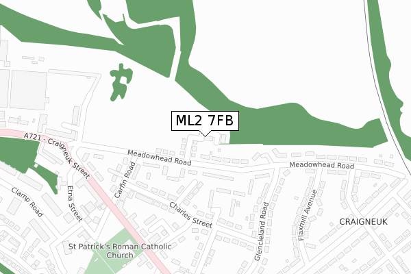
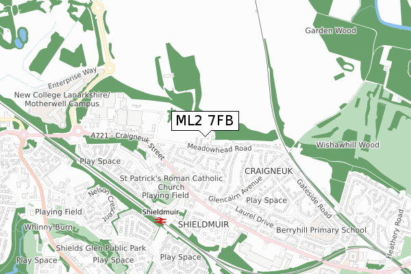
ML2 7FB maps


Licence: Open Government Licence (requires attribution)
Attribution: Contains OS data © Crown copyright and database right 2025
Source: Open Postcode Geo
Licence: Open Government Licence (requires attribution)
Attribution: Contains OS data © Crown copyright and database right 2025; Contains Royal Mail data © Royal Mail copyright and database right 2025; Source: Office for National Statistics licensed under the Open Government Licence v.3.0
ML2 7FB geodata
| Easting | 277539 |
| Northing | 656011 |
| Latitude | 55.781853 |
| Longitude | -3.954185 |
Where is ML2 7FB?
| Country | Scotland |
| Postcode District | ML2 |
Politics
| Ward | Motherwell South East And Ravenscraig |
|---|---|
| Constituency | Motherwell And Wishaw |
Transport
Nearest bus stops to ML2 7FB
| Carfin Road (Meadowhead Road) | Craigneuk | 71m |
| Carfin Road (Meadowhead Road) | Craigneuk | 88m |
| Glencleland Road (Meadowhead Road) | Craigneuk | 194m |
| Glencleland Road (Meadowhead Road) | Craigneuk | 209m |
| Wellington Street (Craigneuk Street) | Craigneuk | 334m |
Nearest railway stations to ML2 7FB
| Shieldmuir Station | 0.5km |
| Wishaw Station | 2.1km |
| Airbles Station | 2.5km |
Deprivation
36% of Scottish postcodes are less deprived than ML2 7FB:Food Standards Agency
Three nearest food hygiene information scheme ratings to ML2 7FB (metres)


➜ Get more ratings from the Food Standards Agency
Nearest post box to ML2 7FB
| Last Collection | |||
|---|---|---|---|
| Location | Mon-Fri | Sat | Distance |
| Post Office | 17:45 | 11:30 | 1,132m |
| Wishawhill Street | 17:15 | 11:30 | 1,339m |
| Post Office | 18:30 | 12:00 | 1,919m |
ML2 7FB ITL and ML2 7FB LAU
The below table lists the International Territorial Level (ITL) codes (formerly Nomenclature of Territorial Units for Statistics (NUTS) codes) and Local Administrative Units (LAU) codes for ML2 7FB:
| ITL 1 Code | Name |
|---|---|
| TLM | Scotland |
| ITL 2 Code | Name |
| TLM8 | West Central Scotland |
| ITL 3 Code | Name |
| TLM84 | North Lanarkshire |
| LAU 1 Code | Name |
| S30000053 | North Lanarkshire |
ML2 7FB census areas
The below table lists the Census Output Area (OA), Lower Layer Super Output Area (LSOA), and Middle Layer Super Output Area (MSOA) for ML2 7FB:
| Code | Name | |
|---|---|---|
| OA | S00125380 | |
| LSOA | S01011451 | Cleland - 05 |
| MSOA | S02002150 | Cleland |