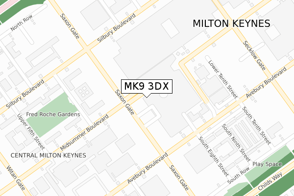
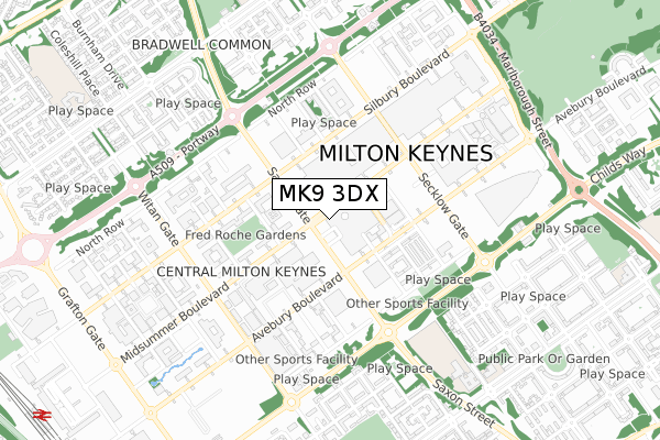
MK9 3DX is located in the Central Milton Keynes electoral ward, within the unitary authority of Milton Keynes and the English Parliamentary constituency of Milton Keynes North. The Sub Integrated Care Board (ICB) Location is NHS Bedfordshire, Luton and Milton Keynes ICB - M1J4Y and the police force is Thames Valley. This postcode has been in use since October 2017.


GetTheData
Source: OS Open Zoomstack (Ordnance Survey)
Licence: Open Government Licence (requires attribution)
Attribution: Contains OS data © Crown copyright and database right 2025
Source: Open Postcode Geo
Licence: Open Government Licence (requires attribution)
Attribution: Contains OS data © Crown copyright and database right 2025; Contains Royal Mail data © Royal Mail copyright and database right 2025; Source: Office for National Statistics licensed under the Open Government Licence v.3.0
| Easting | 485262 |
| Northing | 238769 |
| Latitude | 52.040785 |
| Longitude | -0.758303 |
GetTheData
Source: Open Postcode Geo
Licence: Open Government Licence
| Country | England |
| Postcode District | MK9 |
➜ See where MK9 is on a map ➜ Where is Milton Keynes? | |
GetTheData
Source: Land Registry Price Paid Data
Licence: Open Government Licence
| Ward | Central Milton Keynes |
| Constituency | Milton Keynes North |
GetTheData
Source: ONS Postcode Database
Licence: Open Government Licence
| Midsummer Place (Midsummer Boulevard) | Central Milton Keynes | 43m |
| The Point (Lower Ninth Street) | Central Milton Keynes | 152m |
| The Point (Lower Ninth Street) | Central Milton Keynes | 167m |
| The Point (Lower Ninth Street) | Central Milton Keynes | 170m |
| The Point (Lower Ninth Street) | Central Milton Keynes | 180m |
| Milton Keynes Central Station | 1.3km |
| Wolverton Station | 4.2km |
| Fenny Stratford Station | 5.4km |
GetTheData
Source: NaPTAN
Licence: Open Government Licence
GetTheData
Source: ONS Postcode Database
Licence: Open Government Licence


➜ Get more ratings from the Food Standards Agency
GetTheData
Source: Food Standards Agency
Licence: FSA terms & conditions
| Last Collection | |||
|---|---|---|---|
| Location | Mon-Fri | Sat | Distance |
| Marks & Spencer Square | 18:30 | 12:00 | 216m |
| Marks & Spencer Square | 18:30 | 12:00 | 218m |
| South Eighth Street | 18:30 | 12:00 | 250m |
GetTheData
Source: Dracos
Licence: Creative Commons Attribution-ShareAlike
The below table lists the International Territorial Level (ITL) codes (formerly Nomenclature of Territorial Units for Statistics (NUTS) codes) and Local Administrative Units (LAU) codes for MK9 3DX:
| ITL 1 Code | Name |
|---|---|
| TLJ | South East (England) |
| ITL 2 Code | Name |
| TLJ1 | Berkshire, Buckinghamshire and Oxfordshire |
| ITL 3 Code | Name |
| TLJ12 | Milton Keynes |
| LAU 1 Code | Name |
| E06000042 | Milton Keynes |
GetTheData
Source: ONS Postcode Directory
Licence: Open Government Licence
The below table lists the Census Output Area (OA), Lower Layer Super Output Area (LSOA), and Middle Layer Super Output Area (MSOA) for MK9 3DX:
| Code | Name | |
|---|---|---|
| OA | E00175396 | |
| LSOA | E01033500 | Milton Keynes 014F |
| MSOA | E02003472 | Milton Keynes 014 |
GetTheData
Source: ONS Postcode Directory
Licence: Open Government Licence
| MK9 2AD | Silbury Boulevard | 212m |
| MK9 3BB | Midsummer Arcade | 240m |
| MK9 2UB | Midsummer Boulevard | 252m |
| MK9 3DB | Avebury Boulevard | 261m |
| MK9 3DD | Avebury Boulevard | 310m |
| MK9 3DE | South Eighth Street | 338m |
| MK9 2HS | Avebury Boulevard | 341m |
| MK9 3DF | South Ninth Street | 352m |
| MK9 3DQ | South Row | 361m |
| MK9 3AR | Silbury Boulevard | 366m |
GetTheData
Source: Open Postcode Geo; Land Registry Price Paid Data
Licence: Open Government Licence