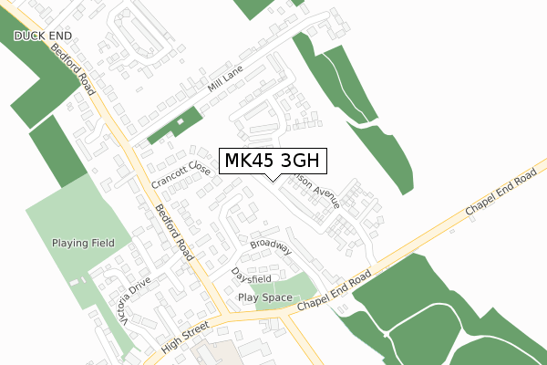
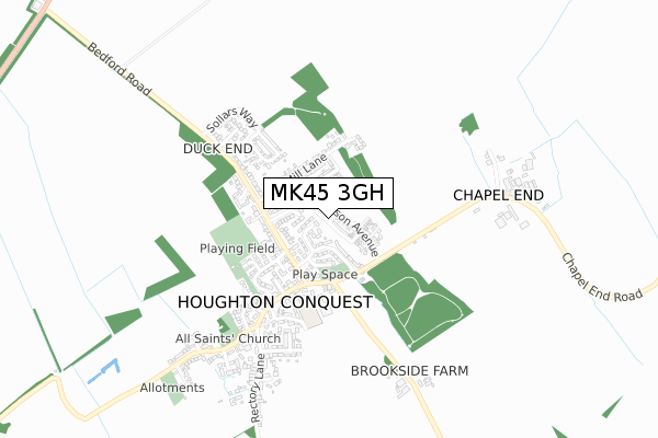
MK45 3GH is located in the Houghton Conquest & Haynes electoral ward, within the unitary authority of Central Bedfordshire and the English Parliamentary constituency of Mid Bedfordshire. The Sub Integrated Care Board (ICB) Location is NHS Bedfordshire, Luton and Milton Keynes ICB - M1J4Y and the police force is Bedfordshire. This postcode has been in use since May 2019.


GetTheData
Source: OS Open Zoomstack (Ordnance Survey)
Licence: Open Government Licence (requires attribution)
Attribution: Contains OS data © Crown copyright and database right 2025
Source: Open Postcode Geo
Licence: Open Government Licence (requires attribution)
Attribution: Contains OS data © Crown copyright and database right 2025; Contains Royal Mail data © Royal Mail copyright and database right 2025; Source: Office for National Statistics licensed under the Open Government Licence v.3.0
| Easting | 504753 |
| Northing | 241880 |
| Latitude | 52.065410 |
| Longitude | -0.473276 |
GetTheData
Source: Open Postcode Geo
Licence: Open Government Licence
| Country | England |
| Postcode District | MK45 |
➜ See where MK45 is on a map ➜ Where is Houghton Conquest? | |
GetTheData
Source: Land Registry Price Paid Data
Licence: Open Government Licence
| Ward | Houghton Conquest & Haynes |
| Constituency | Mid Bedfordshire |
GetTheData
Source: ONS Postcode Database
Licence: Open Government Licence
2023 28 APR £418,000 |
2020 14 DEC £351,000 |
2, BANKS CROFT, HOUGHTON CONQUEST, BEDFORD, MK45 3GH 2019 28 JUN £334,995 |
2019 14 JUN £334,995 |
➜ Houghton Conquest house prices
GetTheData
Source: HM Land Registry Price Paid Data
Licence: Contains HM Land Registry data © Crown copyright and database right 2025. This data is licensed under the Open Government Licence v3.0.
| Broadway (Bedford Road) | Houghton Conquest | 223m |
| Broadway (Bedford Road) | Houghton Conquest | 225m |
| Chapel End Road | Houghton Conquest | 228m |
| Chapel End Road | Houghton Conquest | 238m |
| Mill Lane (Bedford Road) | Houghton Conquest | 257m |
| Stewartby Station | 3.3km |
| Kempston Hardwick Station | 3.6km |
| Millbrook (Beds) Station | 4.3km |
GetTheData
Source: NaPTAN
Licence: Open Government Licence
GetTheData
Source: ONS Postcode Database
Licence: Open Government Licence

➜ Get more ratings from the Food Standards Agency
GetTheData
Source: Food Standards Agency
Licence: FSA terms & conditions
| Last Collection | |||
|---|---|---|---|
| Location | Mon-Fri | Sat | Distance |
| Crancott Close | 16:20 | 09:00 | 214m |
| Post Office High Street | 16:25 | 10:30 | 309m |
| How End | 16:10 | 07:00 | 1,781m |
GetTheData
Source: Dracos
Licence: Creative Commons Attribution-ShareAlike
The below table lists the International Territorial Level (ITL) codes (formerly Nomenclature of Territorial Units for Statistics (NUTS) codes) and Local Administrative Units (LAU) codes for MK45 3GH:
| ITL 1 Code | Name |
|---|---|
| TLH | East |
| ITL 2 Code | Name |
| TLH2 | Bedfordshire and Hertfordshire |
| ITL 3 Code | Name |
| TLH25 | Central Bedfordshire |
| LAU 1 Code | Name |
| E06000056 | Central Bedfordshire |
GetTheData
Source: ONS Postcode Directory
Licence: Open Government Licence
The below table lists the Census Output Area (OA), Lower Layer Super Output Area (LSOA), and Middle Layer Super Output Area (MSOA) for MK45 3GH:
| Code | Name | |
|---|---|---|
| OA | E00087928 | |
| LSOA | E01017411 | Central Bedfordshire 008B |
| MSOA | E02003606 | Central Bedfordshire 008 |
GetTheData
Source: ONS Postcode Directory
Licence: Open Government Licence
| MK45 3LX | Stanbridge Way | 93m |
| MK45 3EW | The Willows | 123m |
| MK45 3LT | Broadway | 136m |
| MK45 3ND | Crancott Close | 147m |
| MK45 3EL | Adelaide Close | 176m |
| MK45 3LS | Bedford Road | 213m |
| MK45 3NF | Mill Lane | 227m |
| MK45 3LN | Chapel End Road | 255m |
| MK45 3LG | Almers Close | 261m |
| MK45 3LQ | Cherry Close | 264m |
GetTheData
Source: Open Postcode Geo; Land Registry Price Paid Data
Licence: Open Government Licence