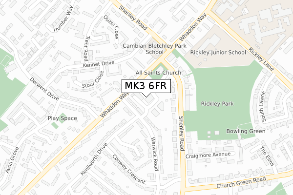
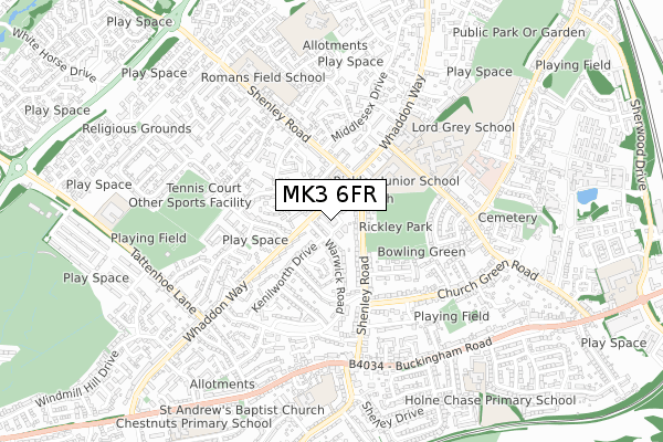
MK3 6FR is located in the Bletchley Park electoral ward, within the unitary authority of Milton Keynes and the English Parliamentary constituency of Milton Keynes South. The Sub Integrated Care Board (ICB) Location is NHS Bedfordshire, Luton and Milton Keynes ICB - M1J4Y and the police force is Thames Valley. This postcode has been in use since May 2018.


GetTheData
Source: OS Open Zoomstack (Ordnance Survey)
Licence: Open Government Licence (requires attribution)
Attribution: Contains OS data © Crown copyright and database right 2025
Source: Open Postcode Geo
Licence: Open Government Licence (requires attribution)
Attribution: Contains OS data © Crown copyright and database right 2025; Contains Royal Mail data © Royal Mail copyright and database right 2025; Source: Office for National Statistics licensed under the Open Government Licence v.3.0
| Easting | 485554 |
| Northing | 233809 |
| Latitude | 51.996156 |
| Longitude | -0.755285 |
GetTheData
Source: Open Postcode Geo
Licence: Open Government Licence
| Country | England |
| Postcode District | MK3 |
➜ See where MK3 is on a map ➜ Where is Bletchley? | |
GetTheData
Source: Land Registry Price Paid Data
Licence: Open Government Licence
| Ward | Bletchley Park |
| Constituency | Milton Keynes South |
GetTheData
Source: ONS Postcode Database
Licence: Open Government Licence
| Bletchley Community Centre (Whaddon Way) | Far Bletchley | 100m |
| Kennet Place (Whaddon Way) | Far Bletchley | 107m |
| Bletchley Community Centre (Whaddon Way) | Far Bletchley | 136m |
| Derwent Drive | Far Bletchley | 283m |
| Derwent Drive | Far Bletchley | 285m |
| Bletchley Station | 1.3km |
| Fenny Stratford Station | 2.7km |
| Bow Brickhill Station | 4.2km |
GetTheData
Source: NaPTAN
Licence: Open Government Licence
GetTheData
Source: ONS Postcode Database
Licence: Open Government Licence


➜ Get more ratings from the Food Standards Agency
GetTheData
Source: Food Standards Agency
Licence: FSA terms & conditions
| Last Collection | |||
|---|---|---|---|
| Location | Mon-Fri | Sat | Distance |
| Post Office Whaddon Way | 17:30 | 12:00 | 42m |
| Middlesex Drive | 17:30 | 12:00 | 290m |
| Avon Grove | 17:30 | 12:00 | 380m |
GetTheData
Source: Dracos
Licence: Creative Commons Attribution-ShareAlike
The below table lists the International Territorial Level (ITL) codes (formerly Nomenclature of Territorial Units for Statistics (NUTS) codes) and Local Administrative Units (LAU) codes for MK3 6FR:
| ITL 1 Code | Name |
|---|---|
| TLJ | South East (England) |
| ITL 2 Code | Name |
| TLJ1 | Berkshire, Buckinghamshire and Oxfordshire |
| ITL 3 Code | Name |
| TLJ12 | Milton Keynes |
| LAU 1 Code | Name |
| E06000042 | Milton Keynes |
GetTheData
Source: ONS Postcode Directory
Licence: Open Government Licence
The below table lists the Census Output Area (OA), Lower Layer Super Output Area (LSOA), and Middle Layer Super Output Area (MSOA) for MK3 6FR:
| Code | Name | |
|---|---|---|
| OA | E00084912 | |
| LSOA | E01016834 | Milton Keynes 029E |
| MSOA | E02003487 | Milton Keynes 029 |
GetTheData
Source: ONS Postcode Directory
Licence: Open Government Licence
| MK3 7DG | Whaddon Way | 25m |
| MK3 7DE | Whaddon Way | 28m |
| MK3 6AL | Warwick Road | 80m |
| MK3 7DZ | Whaddon Way | 120m |
| MK3 7AU | Kennet Place | 123m |
| MK3 7EB | Whaddon Way | 136m |
| MK3 6HF | Shenley Road | 140m |
| MK3 6HE | Shenley Road | 141m |
| MK3 6AN | Warwick Road | 160m |
| MK3 7AX | Kennet Drive | 175m |
GetTheData
Source: Open Postcode Geo; Land Registry Price Paid Data
Licence: Open Government Licence