Property/Postcode Data Search:
MK10 0DD maps, stats, and open data
MK10 0DD is located in the Monkston electoral ward, within the unitary authority of Milton Keynes and the English Parliamentary constituency of Milton Keynes South. The Sub Integrated Care Board (ICB) Location is NHS Bedfordshire, Luton and Milton Keynes ICB - M1J4Y and the police force is Thames Valley. This postcode has been in use since April 2020.
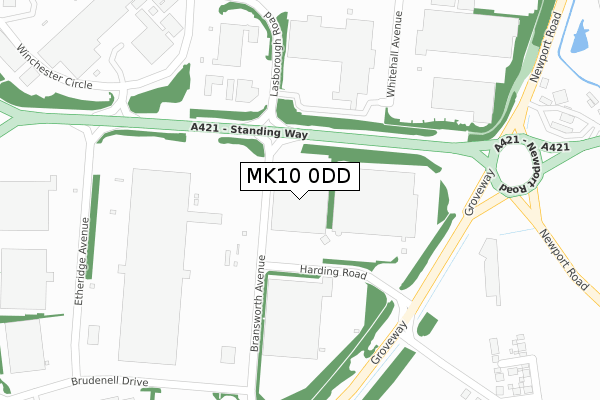
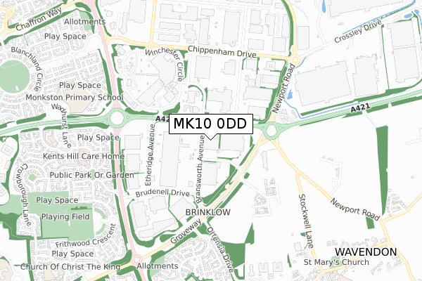
MK10 0DD maps


Source: OS Open Zoomstack (Ordnance Survey)
Licence: Open Government Licence (requires attribution)
Attribution: Contains OS data © Crown copyright and database right 2025
Source: Open Postcode Geo
Licence: Open Government Licence (requires attribution)
Attribution: Contains OS data © Crown copyright and database right 2025; Contains Royal Mail data © Royal Mail copyright and database right 2025; Source: Office for National Statistics licensed under the Open Government Licence v.3.0
Licence: Open Government Licence (requires attribution)
Attribution: Contains OS data © Crown copyright and database right 2025
Source: Open Postcode Geo
Licence: Open Government Licence (requires attribution)
Attribution: Contains OS data © Crown copyright and database right 2025; Contains Royal Mail data © Royal Mail copyright and database right 2025; Source: Office for National Statistics licensed under the Open Government Licence v.3.0
MK10 0DD geodata
| Easting | 490412 |
| Northing | 237938 |
| Latitude | 52.032501 |
| Longitude | -0.683458 |
Where is MK10 0DD?
| Country | England |
| Postcode District | MK10 |
Politics
| Ward | Monkston |
|---|---|
| Constituency | Milton Keynes South |
Transport
Nearest bus stops to MK10 0DD
| Lasborough Road (Standing Way H8) | Kingston | 188m |
| Kingston Roundabout West (Standing Way H8) | Kingston | 256m |
| Lasborough Road (Standing Way H8) | Kingston | 259m |
| Kingston Roundabout West (Standing Way H8) | Kingston | 266m |
| Brinklow Roundabout East (Standing Way H8) | Brinklow | 469m |
Nearest railway stations to MK10 0DD
| Woburn Sands Station | 2.6km |
| Bow Brickhill Station | 3.3km |
| Aspley Guise Station | 3.7km |
Deprivation
32% of English postcodes are less deprived than MK10 0DD:Food Standards Agency
Three nearest food hygiene ratings to MK10 0DD (metres)
Doms Doorsteps

Trading Location Harding Road Brinklow Milton Keynes
132m
GXO Logistics (Staff Canteen)

Harding Road
205m
Alpla UK (Jimmys Catering Services)

Alpla Ltd
208m
➜ Get more ratings from the Food Standards Agency
Nearest post box to MK10 0DD
| Last Collection | |||
|---|---|---|---|
| Location | Mon-Fri | Sat | Distance |
| Tesco Stores | 18:30 | 12:00 | 484m |
| Brinklow Delivery Office | 19:15 | 12:30 | 535m |
| Chippenham Drive | 18:30 | 550m | |
MK10 0DD ITL and MK10 0DD LAU
The below table lists the International Territorial Level (ITL) codes (formerly Nomenclature of Territorial Units for Statistics (NUTS) codes) and Local Administrative Units (LAU) codes for MK10 0DD:
| ITL 1 Code | Name |
|---|---|
| TLJ | South East (England) |
| ITL 2 Code | Name |
| TLJ1 | Berkshire, Buckinghamshire and Oxfordshire |
| ITL 3 Code | Name |
| TLJ12 | Milton Keynes |
| LAU 1 Code | Name |
| E06000042 | Milton Keynes |
MK10 0DD census areas
The below table lists the Census Output Area (OA), Lower Layer Super Output Area (LSOA), and Middle Layer Super Output Area (MSOA) for MK10 0DD:
| Code | Name | |
|---|---|---|
| OA | E00084903 | |
| LSOA | E01016823 | Milton Keynes 017E |
| MSOA | E02003475 | Milton Keynes 017 |
Nearest postcodes to MK10 0DD
| MK10 0BA | Winchester Circle | 455m |
| MK7 6AU | 522m | |
| MK7 7SN | Coggeshall Grove | 629m |
| MK7 7SW | Coggeshall Grove | 630m |
| MK7 6DU | Millbank Place | 639m |
| MK7 6DZ | Shirley Moor | 651m |
| MK7 6DW | Tudeley Hale | 660m |
| MK7 7SL | Isaacson Drive | 666m |
| MK7 7SP | Isaacson Drive | 672m |
| MK7 6DS | High Halden | 683m |