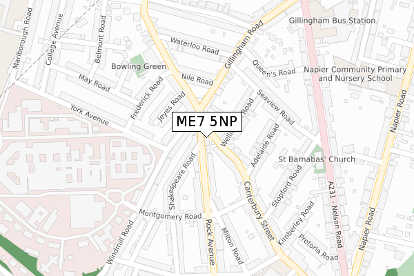
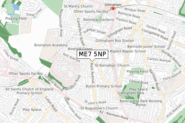
ME7 5NP is located in the Gillingham South electoral ward, within the unitary authority of Medway and the English Parliamentary constituency of Gillingham and Rainham. The Sub Integrated Care Board (ICB) Location is NHS Kent and Medway ICB - 91Q and the police force is Kent. This postcode has been in use since January 2018.


GetTheData
Source: OS Open Zoomstack (Ordnance Survey)
Licence: Open Government Licence (requires attribution)
Attribution: Contains OS data © Crown copyright and database right 2025
Source: Open Postcode Geo
Licence: Open Government Licence (requires attribution)
Attribution: Contains OS data © Crown copyright and database right 2025; Contains Royal Mail data © Royal Mail copyright and database right 2025; Source: Office for National Statistics licensed under the Open Government Licence v.3.0
| Easting | 577324 |
| Northing | 167679 |
| Latitude | 51.380462 |
| Longitude | 0.546723 |
GetTheData
Source: Open Postcode Geo
Licence: Open Government Licence
| Country | England |
| Postcode District | ME7 |
➜ See where ME7 is on a map ➜ Where is Gillingham? | |
GetTheData
Source: Land Registry Price Paid Data
Licence: Open Government Licence
| Ward | Gillingham South |
| Constituency | Gillingham And Rainham |
GetTheData
Source: ONS Postcode Database
Licence: Open Government Licence
| Westcourt Arms (Rock Avenue) | Gillingham | 17m |
| Westcourt Arms (Canterbury Street) | Gillingham | 111m |
| Montgomery Road | Gillingham | 185m |
| Medway Maritime Hospital (Montgomery Road) | Gillingham | 251m |
| St Barnabas Church (Nelson Road) | Gillingham | 285m |
| Gillingham (Kent) Station | 0.7km |
| Chatham Station | 1.8km |
| Rochester Station | 2.6km |
GetTheData
Source: NaPTAN
Licence: Open Government Licence
Estimated total energy consumption in ME7 5NP by fuel type, 2015.
| Consumption (kWh) | 168,823 |
|---|---|
| Meter count | 10 |
| Mean (kWh/meter) | 16,882 |
| Median (kWh/meter) | 14,793 |
GetTheData
Source: Postcode level gas estimates: 2015 (experimental)
Source: Postcode level electricity estimates: 2015 (experimental)
Licence: Open Government Licence
GetTheData
Source: ONS Postcode Database
Licence: Open Government Licence


➜ Get more ratings from the Food Standards Agency
GetTheData
Source: Food Standards Agency
Licence: FSA terms & conditions
| Last Collection | |||
|---|---|---|---|
| Location | Mon-Fri | Sat | Distance |
| Westcourt | 17:30 | 11:30 | 40m |
| Vicarage Road | 17:30 | 11:30 | 369m |
| Nelson Road | 17:30 | 11:30 | 385m |
GetTheData
Source: Dracos
Licence: Creative Commons Attribution-ShareAlike
The below table lists the International Territorial Level (ITL) codes (formerly Nomenclature of Territorial Units for Statistics (NUTS) codes) and Local Administrative Units (LAU) codes for ME7 5NP:
| ITL 1 Code | Name |
|---|---|
| TLJ | South East (England) |
| ITL 2 Code | Name |
| TLJ4 | Kent |
| ITL 3 Code | Name |
| TLJ41 | Medway |
| LAU 1 Code | Name |
| E06000035 | Medway |
GetTheData
Source: ONS Postcode Directory
Licence: Open Government Licence
The below table lists the Census Output Area (OA), Lower Layer Super Output Area (LSOA), and Middle Layer Super Output Area (MSOA) for ME7 5NP:
| Code | Name | |
|---|---|---|
| OA | E00081123 | |
| LSOA | E01016044 | Medway 016A |
| MSOA | E02003329 | Medway 016 |
GetTheData
Source: ONS Postcode Directory
Licence: Open Government Licence
| ME7 5XG | Canterbury Street | 35m |
| ME7 5NU | Windmill Road | 36m |
| ME7 5PT | Rock Avenue | 78m |
| ME7 5XL | Canterbury Street | 81m |
| ME7 5NT | Windmill Road | 83m |
| ME7 5XE | Canterbury Street | 99m |
| ME7 5XN | Canterbury Street | 100m |
| ME7 4NN | Wellington Road | 103m |
| ME7 5QL | Shakespeare Road | 110m |
| ME7 4SD | Gillingham Road | 118m |
GetTheData
Source: Open Postcode Geo; Land Registry Price Paid Data
Licence: Open Government Licence