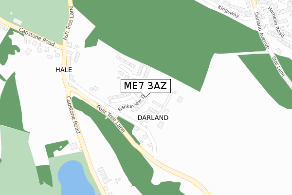
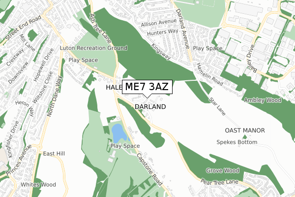
ME7 3AZ is located in the Hempstead & Wigmore electoral ward, within the unitary authority of Medway and the English Parliamentary constituency of Gillingham and Rainham. The Sub Integrated Care Board (ICB) Location is NHS Kent and Medway ICB - 91Q and the police force is Kent. This postcode has been in use since October 2019.


GetTheData
Source: OS Open Zoomstack (Ordnance Survey)
Licence: Open Government Licence (requires attribution)
Attribution: Contains OS data © Crown copyright and database right 2025
Source: Open Postcode Geo
Licence: Open Government Licence (requires attribution)
Attribution: Contains OS data © Crown copyright and database right 2025; Contains Royal Mail data © Royal Mail copyright and database right 2025; Source: Office for National Statistics licensed under the Open Government Licence v.3.0
| Easting | 578243 |
| Northing | 165711 |
| Latitude | 51.362497 |
| Longitude | 0.558928 |
GetTheData
Source: Open Postcode Geo
Licence: Open Government Licence
| Country | England |
| Postcode District | ME7 |
➜ See where ME7 is on a map ➜ Where is Darland? | |
GetTheData
Source: Land Registry Price Paid Data
Licence: Open Government Licence
| Ward | Hempstead & Wigmore |
| Constituency | Gillingham And Rainham |
GetTheData
Source: ONS Postcode Database
Licence: Open Government Licence
2023 15 DEC £750,000 |
2023 24 APR £875,000 |
2022 4 AUG £770,000 |
9, BANKSVIEW DRIVE, HEMPSTEAD, GILLINGHAM, ME7 3AZ 2021 6 AUG £770,000 |
8, BANKSVIEW DRIVE, HEMPSTEAD, GILLINGHAM, ME7 3AZ 2021 6 AUG £740,000 |
6, BANKSVIEW DRIVE, HEMPSTEAD, GILLINGHAM, ME7 3AZ 2021 30 JUN £595,000 |
7, BANKSVIEW DRIVE, HEMPSTEAD, GILLINGHAM, ME7 3AZ 2021 30 JUN £775,000 |
1, BANKSVIEW DRIVE, HEMPSTEAD, GILLINGHAM, ME7 3AZ 2021 10 MAY £800,000 |
2020 21 AUG £610,000 |
5, BANKSVIEW DRIVE, HEMPSTEAD, GILLINGHAM, ME7 3AZ 2020 14 AUG £625,000 |
GetTheData
Source: HM Land Registry Price Paid Data
Licence: Contains HM Land Registry data © Crown copyright and database right 2025. This data is licensed under the Open Government Licence v3.0.
| Waggon At Hale (Capstone Street) | Luton | 309m |
| Waggon At Hale (Capstone Road) | Luton | 317m |
| Windyridge (Kingsway) | Darland | 363m |
| Windyridge (Kingsway) | Darland | 380m |
| Hamelin Road (Darland Avenue) | Darland | 463m |
| Gillingham (Kent) Station | 2.8km |
| Chatham Station | 3.3km |
| Rainham (Kent) Station | 3.7km |
GetTheData
Source: NaPTAN
Licence: Open Government Licence
GetTheData
Source: ONS Postcode Database
Licence: Open Government Licence


➜ Get more ratings from the Food Standards Agency
GetTheData
Source: Food Standards Agency
Licence: FSA terms & conditions
| Last Collection | |||
|---|---|---|---|
| Location | Mon-Fri | Sat | Distance |
| Hamelin Road | 17:15 | 11:30 | 461m |
| Capstone | 16:15 | 12:00 | 485m |
| Yeoman Drive | 17:45 | 12:15 | 788m |
GetTheData
Source: Dracos
Licence: Creative Commons Attribution-ShareAlike
The below table lists the International Territorial Level (ITL) codes (formerly Nomenclature of Territorial Units for Statistics (NUTS) codes) and Local Administrative Units (LAU) codes for ME7 3AZ:
| ITL 1 Code | Name |
|---|---|
| TLJ | South East (England) |
| ITL 2 Code | Name |
| TLJ4 | Kent |
| ITL 3 Code | Name |
| TLJ41 | Medway |
| LAU 1 Code | Name |
| E06000035 | Medway |
GetTheData
Source: ONS Postcode Directory
Licence: Open Government Licence
The below table lists the Census Output Area (OA), Lower Layer Super Output Area (LSOA), and Middle Layer Super Output Area (MSOA) for ME7 3AZ:
| Code | Name | |
|---|---|---|
| OA | E00081155 | |
| LSOA | E01016054 | Medway 035E |
| MSOA | E02003348 | Medway 035 |
GetTheData
Source: ONS Postcode Directory
Licence: Open Government Licence
| ME7 3PP | Pear Tree Lane | 85m |
| ME5 7PP | Capstone Road | 299m |
| ME7 3AU | Kingsway | 388m |
| ME7 3AT | Kingsway | 419m |
| ME7 3BD | Kingsway | 440m |
| ME5 7PN | Capstone Road | 442m |
| ME7 3AY | Audley Avenue | 448m |
| ME7 3NW | Star Lane | 467m |
| ME7 3BB | Windyridge | 476m |
| ME7 3EX | Hamelin Road | 504m |
GetTheData
Source: Open Postcode Geo; Land Registry Price Paid Data
Licence: Open Government Licence