ME4 4FS maps, stats, and open data
- Home
- Postcode
- ME
- ME4
- ME4 4
ME4 4FS is located in the Chatham Central & Brompton electoral ward, within the unitary authority of Medway and the English Parliamentary constituency of Rochester and Strood. The Sub Integrated Care Board (ICB) Location is NHS Kent and Medway ICB - 91Q and the police force is Kent. This postcode has been in use since May 2018.
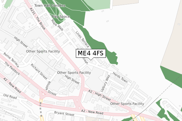
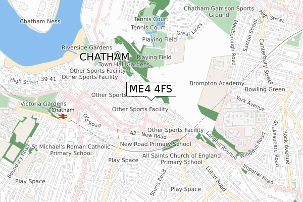
ME4 4FS maps


Source: OS Open Zoomstack (Ordnance Survey)
Licence: Open Government Licence (requires attribution)
Attribution: Contains OS data © Crown copyright and database right 2025
Source: Open Postcode GeoLicence: Open Government Licence (requires attribution)
Attribution: Contains OS data © Crown copyright and database right 2025; Contains Royal Mail data © Royal Mail copyright and database right 2025; Source: Office for National Statistics licensed under the Open Government Licence v.3.0
ME4 4FS geodata
| Easting | 576222 |
| Northing | 167755 |
| Latitude | 51.381488 |
| Longitude | 0.530942 |
Where is ME4 4FS?
| Country | England |
| Postcode District | ME4 |
Politics
| Ward | Chatham Central & Brompton |
|---|
| Constituency | Rochester And Strood |
|---|
Transport
Nearest bus stops to ME4 4FS
| The Brook Iceland (The Brook) | Chatham | 119m |
| High Street Gala Bingo (High Street) | Chatham | 172m |
| High Street Gala Bingo (High Street) | Chatham | 174m |
| Institute Road (High Street) | Chatham | 263m |
| Institute Road (High Street) | Chatham | 280m |
Nearest railway stations to ME4 4FS
| Chatham Station | 0.7km |
| Gillingham (Kent) Station | 1.4km |
| Rochester Station | 1.5km |
Broadband
Broadband access in ME4 4FS (2020 data)
| Percentage of properties with Next Generation Access | 100.0% |
| Percentage of properties with Superfast Broadband | 100.0% |
| Percentage of properties with Ultrafast Broadband | 0.0% |
| Percentage of properties with Full Fibre Broadband | 0.0% |
Superfast Broadband is between 30Mbps and 300Mbps
Ultrafast Broadband is > 300Mbps
Broadband speed in ME4 4FS (2019 data)
Download
| Median download speed | 44.9Mbps |
| Average download speed | 45.0Mbps |
| Maximum download speed | 80.00Mbps |
Upload
| Median upload speed | 10.0Mbps |
| Average upload speed | 10.1Mbps |
| Maximum upload speed | 20.00Mbps |
Broadband limitations in ME4 4FS (2020 data)
| Percentage of properties unable to receive 2Mbps | 0.0% |
| Percentage of properties unable to receive 5Mbps | 0.0% |
| Percentage of properties unable to receive 10Mbps | 0.0% |
| Percentage of properties unable to receive 30Mbps | 0.0% |
Deprivation
99.1% of English postcodes are less deprived than
ME4 4FS:
Food Standards Agency
Three nearest food hygiene ratings to ME4 4FS (metres)
Fresh Market
Planet Pizza And Chicken
Candy Shop Chatham Ltd
➜ Get more ratings from the Food Standards Agency
Nearest post box to ME4 4FS
| | Last Collection | |
|---|
| Location | Mon-Fri | Sat | Distance |
|---|
| High Street | 18:30 | 11:30 | 158m |
| Institute Road | 18:30 | 11:30 | 282m |
| Meeting House Lane | 18:30 | 11:30 | 301m |
ME4 4FS ITL and ME4 4FS LAU
The below table lists the International Territorial Level (ITL) codes (formerly Nomenclature of Territorial Units for Statistics (NUTS) codes) and Local Administrative Units (LAU) codes for ME4 4FS:
| ITL 1 Code | Name |
|---|
| TLJ | South East (England) |
| ITL 2 Code | Name |
|---|
| TLJ4 | Kent |
| ITL 3 Code | Name |
|---|
| TLJ41 | Medway |
| LAU 1 Code | Name |
|---|
| E06000035 | Medway |
ME4 4FS census areas
The below table lists the Census Output Area (OA), Lower Layer Super Output Area (LSOA), and Middle Layer Super Output Area (MSOA) for ME4 4FS:
| Code | Name |
|---|
| OA | E00081428 | |
|---|
| LSOA | E01016111 | Medway 015E |
|---|
| MSOA | E02003328 | Medway 015 |
|---|
Nearest postcodes to ME4 4FS


