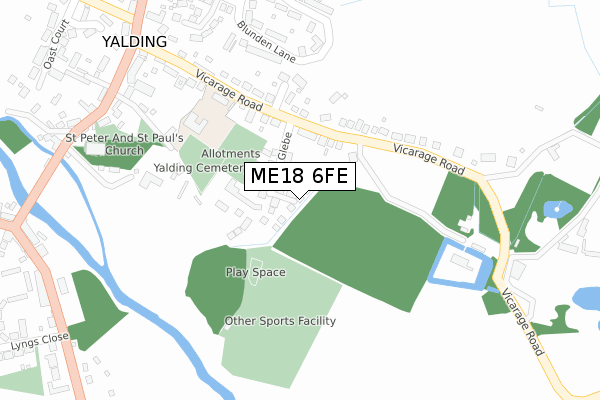
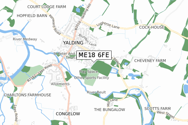
ME18 6FE is located in the Marden and Yalding electoral ward, within the local authority district of Maidstone and the English Parliamentary constituency of Maidstone and The Weald. The Sub Integrated Care Board (ICB) Location is NHS Kent and Medway ICB - 91Q and the police force is Kent. This postcode has been in use since October 2019.


GetTheData
Source: OS Open Zoomstack (Ordnance Survey)
Licence: Open Government Licence (requires attribution)
Attribution: Contains OS data © Crown copyright and database right 2025
Source: Open Postcode Geo
Licence: Open Government Licence (requires attribution)
Attribution: Contains OS data © Crown copyright and database right 2025; Contains Royal Mail data © Royal Mail copyright and database right 2025; Source: Office for National Statistics licensed under the Open Government Licence v.3.0
| Easting | 570186 |
| Northing | 149984 |
| Latitude | 51.223679 |
| Longitude | 0.435822 |
GetTheData
Source: Open Postcode Geo
Licence: Open Government Licence
| Country | England |
| Postcode District | ME18 |
➜ See where ME18 is on a map ➜ Where is Yalding? | |
GetTheData
Source: Land Registry Price Paid Data
Licence: Open Government Licence
| Ward | Marden And Yalding |
| Constituency | Maidstone And The Weald |
GetTheData
Source: ONS Postcode Database
Licence: Open Government Licence
1, GALPIN COURT, YALDING, MAIDSTONE, ME18 6FE 2020 4 NOV £440,000 |
2, GALPIN COURT, YALDING, MAIDSTONE, ME18 6FE 2020 14 OCT £463,250 |
3, GALPIN COURT, YALDING, MAIDSTONE, ME18 6FE 2019 17 OCT £565,000 |
GetTheData
Source: HM Land Registry Price Paid Data
Licence: Contains HM Land Registry data © Crown copyright and database right 2025. This data is licensed under the Open Government Licence v3.0.
| War Memorial (High Street) | Yalding | 362m |
| War Memorial (High Street) | Yalding | 376m |
| Lyngs Close (Benover Road) | Yalding | 447m |
| Lyngs Close (Benover Road) | Yalding | 458m |
| The George (Benover Road) | Yalding | 460m |
| Yalding Station | 1.7km |
| Wateringbury Station | 3km |
| Beltring Station | 3.1km |
GetTheData
Source: NaPTAN
Licence: Open Government Licence
GetTheData
Source: ONS Postcode Database
Licence: Open Government Licence


➜ Get more ratings from the Food Standards Agency
GetTheData
Source: Food Standards Agency
Licence: FSA terms & conditions
| Last Collection | |||
|---|---|---|---|
| Location | Mon-Fri | Sat | Distance |
| Yalding Post Office | 17:00 | 11:30 | 474m |
| Benover | 17:00 | 09:30 | 1,287m |
| Laddingford Wb | 17:00 | 09:15 | 1,506m |
GetTheData
Source: Dracos
Licence: Creative Commons Attribution-ShareAlike
The below table lists the International Territorial Level (ITL) codes (formerly Nomenclature of Territorial Units for Statistics (NUTS) codes) and Local Administrative Units (LAU) codes for ME18 6FE:
| ITL 1 Code | Name |
|---|---|
| TLJ | South East (England) |
| ITL 2 Code | Name |
| TLJ4 | Kent |
| ITL 3 Code | Name |
| TLJ45 | Mid Kent |
| LAU 1 Code | Name |
| E07000110 | Maidstone |
GetTheData
Source: ONS Postcode Directory
Licence: Open Government Licence
The below table lists the Census Output Area (OA), Lower Layer Super Output Area (LSOA), and Middle Layer Super Output Area (MSOA) for ME18 6FE:
| Code | Name | |
|---|---|---|
| OA | E00123771 | |
| LSOA | E01024378 | Maidstone 014D |
| MSOA | E02005081 | Maidstone 014 |
GetTheData
Source: ONS Postcode Directory
Licence: Open Government Licence
| ME18 6DU | Vicarage Road | 106m |
| ME18 6DT | Vicarage Road | 111m |
| ME18 6DX | Vicarage Road | 159m |
| ME18 6DR | Vicarage Road | 180m |
| ME18 6DP | Vicarage Road | 210m |
| ME18 6DS | Vicarage Road | 229m |
| ME18 6HY | High Street | 245m |
| ME18 6JH | Blunden Lane | 245m |
| ME18 6DN | Acton Place | 268m |
| ME18 6JQ | Blunden Lane | 281m |
GetTheData
Source: Open Postcode Geo; Land Registry Price Paid Data
Licence: Open Government Licence