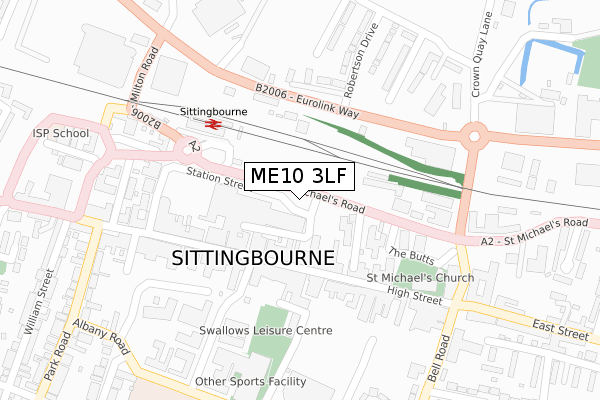
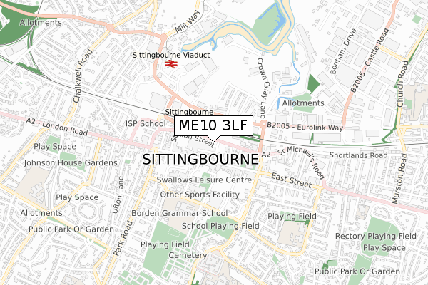
ME10 3LF is located in the Chalkwell electoral ward, within the local authority district of Swale and the English Parliamentary constituency of Sittingbourne and Sheppey. The Sub Integrated Care Board (ICB) Location is NHS Kent and Medway ICB - 91Q and the police force is Kent. This postcode has been in use since March 2019.


GetTheData
Source: OS Open Zoomstack (Ordnance Survey)
Licence: Open Government Licence (requires attribution)
Attribution: Contains OS data © Crown copyright and database right 2025
Source: Open Postcode Geo
Licence: Open Government Licence (requires attribution)
Attribution: Contains OS data © Crown copyright and database right 2025; Contains Royal Mail data © Royal Mail copyright and database right 2025; Source: Office for National Statistics licensed under the Open Government Licence v.3.0
| Easting | 590726 |
| Northing | 163756 |
| Latitude | 51.340889 |
| Longitude | 0.736977 |
GetTheData
Source: Open Postcode Geo
Licence: Open Government Licence
| Country | England |
| Postcode District | ME10 |
➜ See where ME10 is on a map ➜ Where is Sittingbourne? | |
GetTheData
Source: Land Registry Price Paid Data
Licence: Open Government Licence
| Ward | Chalkwell |
| Constituency | Sittingbourne And Sheppey |
GetTheData
Source: ONS Postcode Database
Licence: Open Government Licence
| Globe And Engine (St Michael's Road) | Sittingbourne | 92m |
| Forum Shopping Centre (Station Street) | Sittingbourne | 118m |
| Fire Station (St Michael's Road) | Sittingbourne | 149m |
| High Street | Sittingbourne | 176m |
| Railway Station (Railway Station Forecourt) | Sittingbourne | 179m |
| Sittingbourne Station | 0.2km |
| Kemsley Station | 2.4km |
| Newington Station | 5km |
GetTheData
Source: NaPTAN
Licence: Open Government Licence
GetTheData
Source: ONS Postcode Database
Licence: Open Government Licence


➜ Get more ratings from the Food Standards Agency
GetTheData
Source: Food Standards Agency
Licence: FSA terms & conditions
| Last Collection | |||
|---|---|---|---|
| Location | Mon-Fri | Sat | Distance |
| High Street | 18:15 | 12:15 | 164m |
| Railway Station | 17:30 | 12:00 | 192m |
| Central Avenue | 18:30 | 10:15 | 214m |
GetTheData
Source: Dracos
Licence: Creative Commons Attribution-ShareAlike
The below table lists the International Territorial Level (ITL) codes (formerly Nomenclature of Territorial Units for Statistics (NUTS) codes) and Local Administrative Units (LAU) codes for ME10 3LF:
| ITL 1 Code | Name |
|---|---|
| TLJ | South East (England) |
| ITL 2 Code | Name |
| TLJ4 | Kent |
| ITL 3 Code | Name |
| TLJ43 | Kent Thames Gateway |
| LAU 1 Code | Name |
| E07000113 | Swale |
GetTheData
Source: ONS Postcode Directory
Licence: Open Government Licence
The below table lists the Census Output Area (OA), Lower Layer Super Output Area (LSOA), and Middle Layer Super Output Area (MSOA) for ME10 3LF:
| Code | Name | |
|---|---|---|
| OA | E00124882 | |
| LSOA | E01024608 | Swale 010E |
| MSOA | E02005124 | Swale 010 |
GetTheData
Source: ONS Postcode Directory
Licence: Open Government Licence
| ME10 4PB | High Street | 113m |
| ME10 4PH | High Street | 152m |
| ME10 4AW | High Street | 152m |
| ME10 4BJ | Roman Square | 155m |
| ME10 4PD | High Street | 164m |
| ME10 4AJ | High Street | 167m |
| ME10 3DH | St Michaels Close | 190m |
| ME10 4PL | High Street | 202m |
| ME10 3DN | St Michaels Road | 202m |
| ME10 4AQ | High Street | 238m |
GetTheData
Source: Open Postcode Geo; Land Registry Price Paid Data
Licence: Open Government Licence