ME10 2GY maps, stats, and open data
ME10 2GY is located in the Milton Regis electoral ward, within the local authority district of Swale and the English Parliamentary constituency of Sittingbourne and Sheppey. The Sub Integrated Care Board (ICB) Location is NHS Kent and Medway ICB - 91Q and the police force is Kent. This postcode has been in use since May 2018.
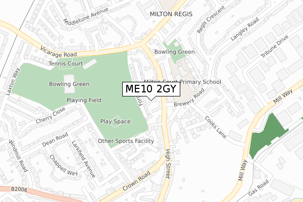
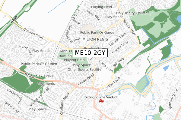
ME10 2GY maps


Licence: Open Government Licence (requires attribution)
Attribution: Contains OS data © Crown copyright and database right 2025
Source: Open Postcode Geo
Licence: Open Government Licence (requires attribution)
Attribution: Contains OS data © Crown copyright and database right 2025; Contains Royal Mail data © Royal Mail copyright and database right 2025; Source: Office for National Statistics licensed under the Open Government Licence v.3.0
ME10 2GY geodata
| Easting | 590328 |
| Northing | 164785 |
| Latitude | 51.350265 |
| Longitude | 0.731818 |
Where is ME10 2GY?
| Country | England |
| Postcode District | ME10 |
Politics
| Ward | Milton Regis |
|---|---|
| Constituency | Sittingbourne And Sheppey |
House Prices
Sales of detached houses in ME10 2GY
1, REGIS PLACE, MILTON REGIS, SITTINGBOURNE, ME10 2GY 2003 8 AUG £85,000 |
Licence: Contains HM Land Registry data © Crown copyright and database right 2025. This data is licensed under the Open Government Licence v3.0.
Transport
Nearest bus stops to ME10 2GY
| The Three Hats (High Street) | Milton Regis | 105m |
| The Three Hats (High Street) | Milton Regis | 153m |
| Sprotshill Close (High Street) | Milton Regis | 167m |
| Newbridge Avenue (Vicarage Road) | Milton Regis | 200m |
| Newbridge Avenue (Vicarage Road) | Milton Regis | 203m |
Nearest railway stations to ME10 2GY
| Sittingbourne Station | 0.9km |
| Kemsley Station | 1.4km |
| Newington Station | 4.4km |
Broadband
Broadband access in ME10 2GY (2020 data)
| Percentage of properties with Next Generation Access | 100.0% |
| Percentage of properties with Superfast Broadband | 100.0% |
| Percentage of properties with Ultrafast Broadband | 0.0% |
| Percentage of properties with Full Fibre Broadband | 0.0% |
Superfast Broadband is between 30Mbps and 300Mbps
Ultrafast Broadband is > 300Mbps
Broadband speed in ME10 2GY (2019 data)
Download
| Median download speed | 55.0Mbps |
| Average download speed | 51.9Mbps |
| Maximum download speed | 78.12Mbps |
Upload
| Median upload speed | 10.0Mbps |
| Average upload speed | 12.1Mbps |
| Maximum upload speed | 20.00Mbps |
Broadband limitations in ME10 2GY (2020 data)
| Percentage of properties unable to receive 2Mbps | 0.0% |
| Percentage of properties unable to receive 5Mbps | 0.0% |
| Percentage of properties unable to receive 10Mbps | 0.0% |
| Percentage of properties unable to receive 30Mbps | 0.0% |
Deprivation
61.4% of English postcodes are less deprived than ME10 2GY:Food Standards Agency
Three nearest food hygiene ratings to ME10 2GY (metres)


➜ Get more ratings from the Food Standards Agency
Nearest post box to ME10 2GY
| Last Collection | |||
|---|---|---|---|
| Location | Mon-Fri | Sat | Distance |
| Milton Regis Post Office | 17:15 | 12:00 | 61m |
| Windmill Road | 17:30 | 11:45 | 468m |
| Church Street | 17:30 | 12:00 | 488m |
ME10 2GY ITL and ME10 2GY LAU
The below table lists the International Territorial Level (ITL) codes (formerly Nomenclature of Territorial Units for Statistics (NUTS) codes) and Local Administrative Units (LAU) codes for ME10 2GY:
| ITL 1 Code | Name |
|---|---|
| TLJ | South East (England) |
| ITL 2 Code | Name |
| TLJ4 | Kent |
| ITL 3 Code | Name |
| TLJ43 | Kent Thames Gateway |
| LAU 1 Code | Name |
| E07000113 | Swale |
ME10 2GY census areas
The below table lists the Census Output Area (OA), Lower Layer Super Output Area (LSOA), and Middle Layer Super Output Area (MSOA) for ME10 2GY:
| Code | Name | |
|---|---|---|
| OA | E00124777 | |
| LSOA | E01024582 | Swale 009E |
| MSOA | E02005123 | Swale 009 |
Nearest postcodes to ME10 2GY
| ME10 2AU | Forge Road | 34m |
| ME10 2AP | Cross Lane | 79m |
| ME10 2AT | High Street | 80m |
| ME10 2AX | Dobbie Close | 108m |
| ME10 2AR | High Street | 117m |
| ME10 2ED | Oyster Close | 117m |
| ME10 2BF | White Hart Mews | 120m |
| ME10 2BB | High Street | 125m |
| ME10 2EG | Brewery Road | 135m |
| ME10 2DR | Lammas Drive | 138m |