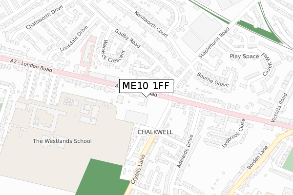
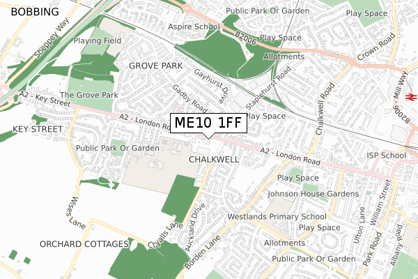
ME10 1FF is located in the Borden and Grove Park electoral ward, within the local authority district of Swale and the English Parliamentary constituency of Sittingbourne and Sheppey. The Sub Integrated Care Board (ICB) Location is NHS Kent and Medway ICB - 91Q and the police force is Kent. This postcode has been in use since October 2018.


GetTheData
Source: OS Open Zoomstack (Ordnance Survey)
Licence: Open Government Licence (requires attribution)
Attribution: Contains OS data © Crown copyright and database right 2025
Source: Open Postcode Geo
Licence: Open Government Licence (requires attribution)
Attribution: Contains OS data © Crown copyright and database right 2025; Contains Royal Mail data © Royal Mail copyright and database right 2025; Source: Office for National Statistics licensed under the Open Government Licence v.3.0
| Easting | 589264 |
| Northing | 163962 |
| Latitude | 51.343227 |
| Longitude | 0.716121 |
GetTheData
Source: Open Postcode Geo
Licence: Open Government Licence
| Country | England |
| Postcode District | ME10 |
➜ See where ME10 is on a map ➜ Where is Sittingbourne? | |
GetTheData
Source: Land Registry Price Paid Data
Licence: Open Government Licence
| Ward | Borden And Grove Park |
| Constituency | Sittingbourne And Sheppey |
GetTheData
Source: ONS Postcode Database
Licence: Open Government Licence
| Keyways Stores (London Road) | Chalkwell | 38m |
| Keyways Stores (London Road) | Milton Regis | 48m |
| Cryalls Lane (London Road) | Sittingbourne | 123m |
| Cryalls Lane (London Road) | Chalkwell | 141m |
| Bourne Grove (Staplehurst Road) | Milton Regis | 148m |
| Sittingbourne Station | 1.3km |
| Kemsley Station | 2.5km |
| Newington Station | 3.5km |
GetTheData
Source: NaPTAN
Licence: Open Government Licence
| Percentage of properties with Next Generation Access | 100.0% |
| Percentage of properties with Superfast Broadband | 100.0% |
| Percentage of properties with Ultrafast Broadband | 0.0% |
| Percentage of properties with Full Fibre Broadband | 0.0% |
Superfast Broadband is between 30Mbps and 300Mbps
Ultrafast Broadband is > 300Mbps
| Percentage of properties unable to receive 2Mbps | 0.0% |
| Percentage of properties unable to receive 5Mbps | 0.0% |
| Percentage of properties unable to receive 10Mbps | 0.0% |
| Percentage of properties unable to receive 30Mbps | 0.0% |
GetTheData
Source: Ofcom
Licence: Ofcom Terms of Use (requires attribution)
GetTheData
Source: ONS Postcode Database
Licence: Open Government Licence


➜ Get more ratings from the Food Standards Agency
GetTheData
Source: Food Standards Agency
Licence: FSA terms & conditions
| Last Collection | |||
|---|---|---|---|
| Location | Mon-Fri | Sat | Distance |
| Lower Borden Lane | 16:00 | 09:00 | 454m |
| Wellwinch Road | 17:30 | 12:00 | 509m |
| Gadby Road (Ex P O) | 17:30 | 11:30 | 520m |
GetTheData
Source: Dracos
Licence: Creative Commons Attribution-ShareAlike
The below table lists the International Territorial Level (ITL) codes (formerly Nomenclature of Territorial Units for Statistics (NUTS) codes) and Local Administrative Units (LAU) codes for ME10 1FF:
| ITL 1 Code | Name |
|---|---|
| TLJ | South East (England) |
| ITL 2 Code | Name |
| TLJ4 | Kent |
| ITL 3 Code | Name |
| TLJ43 | Kent Thames Gateway |
| LAU 1 Code | Name |
| E07000113 | Swale |
GetTheData
Source: ONS Postcode Directory
Licence: Open Government Licence
The below table lists the Census Output Area (OA), Lower Layer Super Output Area (LSOA), and Middle Layer Super Output Area (MSOA) for ME10 1FF:
| Code | Name | |
|---|---|---|
| OA | E00124703 | |
| LSOA | E01024569 | Swale 012C |
| MSOA | E02005126 | Swale 012 |
GetTheData
Source: ONS Postcode Directory
Licence: Open Government Licence
| ME10 1TD | Gadby Road | 73m |
| ME10 1TE | Prentis Close | 84m |
| ME10 1NU | Cryalls Lane | 95m |
| ME10 1QB | London Road | 102m |
| ME10 1NY | Cryalls Lane | 121m |
| ME10 1SY | Staplehurst Road | 130m |
| ME10 1TF | Gadby Road | 156m |
| ME10 1PA | London Road | 167m |
| ME10 1JU | Somerset Close | 170m |
| ME10 1TY | Kenilworth Court | 170m |
GetTheData
Source: Open Postcode Geo; Land Registry Price Paid Data
Licence: Open Government Licence