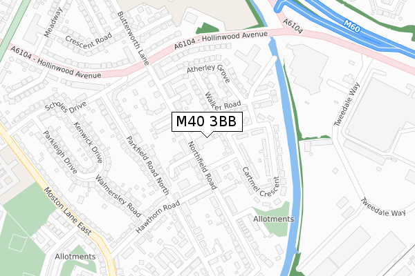
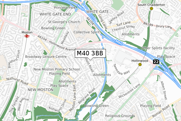
M40 3BB is located in the Moston electoral ward, within the metropolitan district of Manchester and the English Parliamentary constituency of Manchester Central. The Sub Integrated Care Board (ICB) Location is NHS Greater Manchester ICB - 14L and the police force is Greater Manchester. This postcode has been in use since January 2020.


GetTheData
Source: OS Open Zoomstack (Ordnance Survey)
Licence: Open Government Licence (requires attribution)
Attribution: Contains OS data © Crown copyright and database right 2025
Source: Open Postcode Geo
Licence: Open Government Licence (requires attribution)
Attribution: Contains OS data © Crown copyright and database right 2025; Contains Royal Mail data © Royal Mail copyright and database right 2025; Source: Office for National Statistics licensed under the Open Government Licence v.3.0
| Easting | 389633 |
| Northing | 402637 |
| Latitude | 53.520316 |
| Longitude | -2.157827 |
GetTheData
Source: Open Postcode Geo
Licence: Open Government Licence
| Country | England |
| Postcode District | M40 |
➜ See where M40 is on a map ➜ Where is Manchester? | |
GetTheData
Source: Land Registry Price Paid Data
Licence: Open Government Licence
| Ward | Moston |
| Constituency | Manchester Central |
GetTheData
Source: ONS Postcode Database
Licence: Open Government Licence
| Northfield Road (Sbnd) (Northfield Rd) | New Moston | 204m |
| Hollinwood Ave/Learning Ctr (Hollinwood Ave) | White Gate | 231m |
| Hollinwood Ave/Learning Ctr (Hollinwood Ave) | White Gate | 249m |
| Butterworth Ln/Hollinwood Ave (Butterworth Ln) | New Moston | 271m |
| Hollinwood Ave/Scholes Dr (Hollinwood Ave) | New Moston | 286m |
| Hollinwood (Manchester Metrolink) (Railway Road) | Hollinwood | 687m |
| South Chadderton (Manchester Metrolink) (Canal St) | White Gate | 1,081m |
| Failsworth (Manchester Metrolink) (Hardman Lane) | Failsworth | 1,131m |
| Moston Station | 0.9km |
| Mills Hill (Manchester) Station | 3.6km |
| Ashton-under-Lyne Station | 5.3km |
GetTheData
Source: NaPTAN
Licence: Open Government Licence
GetTheData
Source: ONS Postcode Database
Licence: Open Government Licence


➜ Get more ratings from the Food Standards Agency
GetTheData
Source: Food Standards Agency
Licence: FSA terms & conditions
| Last Collection | |||
|---|---|---|---|
| Location | Mon-Fri | Sat | Distance |
| Morrisons | 17:40 | 12:00 | 305m |
| Sycamore Avenue | 17:35 | 12:10 | 1,461m |
| Delmahoy Close | 17:30 | 12:00 | 1,500m |
GetTheData
Source: Dracos
Licence: Creative Commons Attribution-ShareAlike
The below table lists the International Territorial Level (ITL) codes (formerly Nomenclature of Territorial Units for Statistics (NUTS) codes) and Local Administrative Units (LAU) codes for M40 3BB:
| ITL 1 Code | Name |
|---|---|
| TLD | North West (England) |
| ITL 2 Code | Name |
| TLD3 | Greater Manchester |
| ITL 3 Code | Name |
| TLD33 | Manchester |
| LAU 1 Code | Name |
| E08000003 | Manchester |
GetTheData
Source: ONS Postcode Directory
Licence: Open Government Licence
The below table lists the Census Output Area (OA), Lower Layer Super Output Area (LSOA), and Middle Layer Super Output Area (MSOA) for M40 3BB:
| Code | Name | |
|---|---|---|
| OA | E00026593 | |
| LSOA | E01005254 | Manchester 005F |
| MSOA | E02001049 | Manchester 005 |
GetTheData
Source: ONS Postcode Directory
Licence: Open Government Licence
| M40 3RN | Northfield Road | 63m |
| M40 3RL | Northfield Road | 85m |
| M40 3RA | Southway | 87m |
| OL9 8DA | Cartmel Crescent | 97m |
| M40 3RB | Hollingworth Avenue | 98m |
| OL9 8DB | Walker Road | 102m |
| M40 3SW | Elder Grove | 104m |
| M40 3RD | Northfield Avenue | 135m |
| M40 3SA | Avonbrook Drive | 135m |
| M40 3RP | Northfield Road | 141m |
GetTheData
Source: Open Postcode Geo; Land Registry Price Paid Data
Licence: Open Government Licence