M28 3UU maps, stats, and open data
M28 3UU is located in the Walkden South electoral ward, within the metropolitan district of Salford and the English Parliamentary constituency of Worsley and Eccles South. The Sub Integrated Care Board (ICB) Location is NHS Greater Manchester ICB - 01G and the police force is Greater Manchester. This postcode has been in use since March 2018.
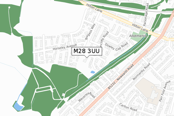
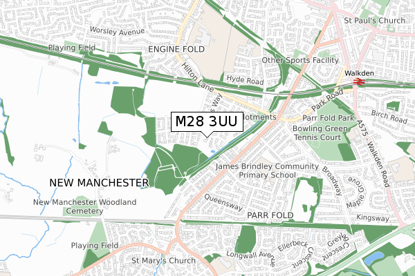
M28 3UU maps


Licence: Open Government Licence (requires attribution)
Attribution: Contains OS data © Crown copyright and database right 2025
Source: Open Postcode Geo
Licence: Open Government Licence (requires attribution)
Attribution: Contains OS data © Crown copyright and database right 2025; Contains Royal Mail data © Royal Mail copyright and database right 2025; Source: Office for National Statistics licensed under the Open Government Licence v.3.0
M28 3UU geodata
| Easting | 372906 |
| Northing | 402305 |
| Latitude | 53.516732 |
| Longitude | -2.410075 |
Where is M28 3UU?
| Country | England |
| Postcode District | M28 |
Politics
| Ward | Walkden South |
|---|---|
| Constituency | Worsley And Eccles South |
House Prices
Sales of detached houses in M28 3UU
7, COSGROVE CLOSE, WORSLEY, MANCHESTER, M28 3UU 2018 29 MAR £368,995 |
1, COSGROVE CLOSE, WORSLEY, MANCHESTER, M28 3UU 2018 29 MAR £279,995 |
5, COSGROVE CLOSE, WORSLEY, MANCHESTER, M28 3UU 2018 29 MAR £298,995 |
3, COSGROVE CLOSE, WORSLEY, MANCHESTER, M28 3UU 2018 29 MAR £312,995 |
Licence: Contains HM Land Registry data © Crown copyright and database right 2025. This data is licensed under the Open Government Licence v3.0.
Transport
Nearest bus stops to M28 3UU
| Newearth Rd/Darnley Ave (Newearth Rd) | Parr Fold | 207m |
| Newearth Rd/Carlton Rd (Newearth Rd) | Parr Fold | 229m |
| Hilton Ln/Burgess Farm (Hilton Ln) | Engine Fold | 275m |
| Hilton Ln/Burgess Farm (Hilton Ln) | Engine Fold | 286m |
| Newearth Rd/Queensway (Newearth Rd) | Ellenbrook | 321m |
Nearest railway stations to M28 3UU
| Walkden Station | 1km |
| Kearsley Station | 3.8km |
| Moorside Station | 3.9km |
Broadband
Broadband access in M28 3UU (2020 data)
| Percentage of properties with Next Generation Access | 100.0% |
| Percentage of properties with Superfast Broadband | 100.0% |
| Percentage of properties with Ultrafast Broadband | 100.0% |
| Percentage of properties with Full Fibre Broadband | 0.0% |
Superfast Broadband is between 30Mbps and 300Mbps
Ultrafast Broadband is > 300Mbps
Broadband limitations in M28 3UU (2020 data)
| Percentage of properties unable to receive 2Mbps | 0.0% |
| Percentage of properties unable to receive 5Mbps | 0.0% |
| Percentage of properties unable to receive 10Mbps | 0.0% |
| Percentage of properties unable to receive 30Mbps | 0.0% |
Deprivation
20% of English postcodes are less deprived than M28 3UU:Food Standards Agency
Three nearest food hygiene ratings to M28 3UU (metres)


➜ Get more ratings from the Food Standards Agency
Nearest post box to M28 3UU
| Last Collection | |||
|---|---|---|---|
| Location | Mon-Fri | Sat | Distance |
| New Earth Road / Hilton Lane | 17:30 | 12:00 | 386m |
| Walkden Road | 17:30 | 12:00 | 904m |
| Valdene Drive | 17:30 | 12:00 | 904m |
M28 3UU ITL and M28 3UU LAU
The below table lists the International Territorial Level (ITL) codes (formerly Nomenclature of Territorial Units for Statistics (NUTS) codes) and Local Administrative Units (LAU) codes for M28 3UU:
| ITL 1 Code | Name |
|---|---|
| TLD | North West (England) |
| ITL 2 Code | Name |
| TLD3 | Greater Manchester |
| ITL 3 Code | Name |
| TLD34 | Greater Manchester South West |
| LAU 1 Code | Name |
| E08000006 | Salford |
M28 3UU census areas
The below table lists the Census Output Area (OA), Lower Layer Super Output Area (LSOA), and Middle Layer Super Output Area (MSOA) for M28 3UU:
| Code | Name | |
|---|---|---|
| OA | E00028938 | |
| LSOA | E01005713 | Salford 007C |
| MSOA | E02001163 | Salford 007 |
Nearest postcodes to M28 3UU
| M28 7UG | Darnley Avenue | 164m |
| M28 7UQ | Washbrook Avenue | 168m |
| M28 7UR | Endsley Avenue | 170m |
| M28 3UJ | Avoncliffe Road | 212m |
| M28 7US | Newearth Road | 226m |
| M28 7UW | Waverley Road | 243m |
| M28 3TL | Hilton Lane | 270m |
| M28 7TS | Normanby Road | 274m |
| M28 7UP | Newearth Road | 281m |
| M28 3YE | Wootton Mews | 286m |