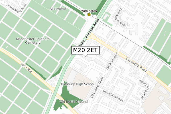
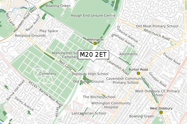
M20 2ET is located in the Didsbury West electoral ward, within the metropolitan district of Manchester and the English Parliamentary constituency of Manchester, Withington. The Sub Integrated Care Board (ICB) Location is NHS Greater Manchester ICB - 14L and the police force is Greater Manchester. This postcode has been in use since February 2019.


GetTheData
Source: OS Open Zoomstack (Ordnance Survey)
Licence: Open Government Licence (requires attribution)
Attribution: Contains OS data © Crown copyright and database right 2025
Source: Open Postcode Geo
Licence: Open Government Licence (requires attribution)
Attribution: Contains OS data © Crown copyright and database right 2025; Contains Royal Mail data © Royal Mail copyright and database right 2025; Source: Office for National Statistics licensed under the Open Government Licence v.3.0
| Easting | 383504 |
| Northing | 392669 |
| Latitude | 53.430562 |
| Longitude | -2.249740 |
GetTheData
Source: Open Postcode Geo
Licence: Open Government Licence
| Country | England |
| Postcode District | M20 |
➜ See where M20 is on a map | |
GetTheData
Source: Land Registry Price Paid Data
Licence: Open Government Licence
| Ward | Didsbury West |
| Constituency | Manchester, Withington |
GetTheData
Source: ONS Postcode Database
Licence: Open Government Licence
| Princess Rd/Cavendish Rd (Princess Rd) | West Didsbury | 88m |
| Cavendish Rd/Princess Rd (Cavendish Road) | West Didsbury | 117m |
| Withington Metrolink Stop (Princess Road) | Withington | 191m |
| Princess Rd/Nell Ln (Princess Rd) | West Didsbury | 199m |
| Nell Ln/Princess Rd (Nell Ln) | West Didsbury | 290m |
| Withington (Manchester Metrolink) (Princess Road) | Withington | 251m |
| Burton Road (Manchester Metrolink) (Burton Road) | West Didsbury | 619m |
| West Didsbury (Manchester Metrolink) (Lapwing Lane) | West Didsbury | 1,134m |
| Barlow Moor Road (Manchester Metrolink) (Mauldeth Road) | Chorltonville | 1,327m |
| St Werburgh's Road (Manchester Metrolink) (St Werburgh's Road) | Chorlton | 1,384m |
| Burnage Station | 2.5km |
| Mauldeth Road Station | 2.7km |
| East Didsbury Station | 3km |
GetTheData
Source: NaPTAN
Licence: Open Government Licence
GetTheData
Source: ONS Postcode Database
Licence: Open Government Licence


➜ Get more ratings from the Food Standards Agency
GetTheData
Source: Food Standards Agency
Licence: FSA terms & conditions
| Last Collection | |||
|---|---|---|---|
| Location | Mon-Fri | Sat | Distance |
| Moorgate Avenue | 17:30 | 12:00 | 354m |
| Dermot Murphey Close | 17:30 | 12:00 | 409m |
| Opp 36 Cavendish Road | 17:30 | 12:00 | 410m |
GetTheData
Source: Dracos
Licence: Creative Commons Attribution-ShareAlike
The below table lists the International Territorial Level (ITL) codes (formerly Nomenclature of Territorial Units for Statistics (NUTS) codes) and Local Administrative Units (LAU) codes for M20 2ET:
| ITL 1 Code | Name |
|---|---|
| TLD | North West (England) |
| ITL 2 Code | Name |
| TLD3 | Greater Manchester |
| ITL 3 Code | Name |
| TLD33 | Manchester |
| LAU 1 Code | Name |
| E08000003 | Manchester |
GetTheData
Source: ONS Postcode Directory
Licence: Open Government Licence
The below table lists the Census Output Area (OA), Lower Layer Super Output Area (LSOA), and Middle Layer Super Output Area (MSOA) for M20 2ET:
| Code | Name | |
|---|---|---|
| OA | E00176088 | |
| LSOA | E01033670 | Manchester 039E |
| MSOA | E02001083 | Manchester 039 |
GetTheData
Source: ONS Postcode Directory
Licence: Open Government Licence
| M20 2EA | The Boulevard | 0m |
| M20 2EB | Montmano Drive | 74m |
| M20 2EN | The Boulevard | 89m |
| M20 2EU | The Boulevard | 98m |
| M20 1QJ | Cavendish Road | 143m |
| M20 1LS | Cavendish Road | 155m |
| M20 2ED | Clearwater Drive | 169m |
| M20 1QH | Cavendish Road | 177m |
| M20 1JZ | Princess Road | 192m |
| M20 1JY | Tunstead Avenue | 197m |
GetTheData
Source: Open Postcode Geo; Land Registry Price Paid Data
Licence: Open Government Licence