M16 7SP maps, stats, and open data
- Home
- Postcode
- M
- M16
- M16 7
M16 7SP is located in the Whalley Range electoral ward, within the metropolitan district of Manchester and the English Parliamentary constituency of Manchester, Gorton. The Sub Integrated Care Board (ICB) Location is NHS Greater Manchester ICB - 14L and the police force is Greater Manchester. This postcode has been in use since March 2019.
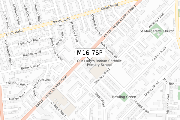
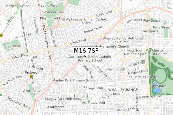
M16 7SP maps


Source: OS Open Zoomstack (Ordnance Survey)
Licence: Open Government Licence (requires attribution)
Attribution: Contains OS data © Crown copyright and database right 2025
Source: Open Postcode GeoLicence: Open Government Licence (requires attribution)
Attribution: Contains OS data © Crown copyright and database right 2025; Contains Royal Mail data © Royal Mail copyright and database right 2025; Source: Office for National Statistics licensed under the Open Government Licence v.3.0
M16 7SP geodata
| Easting | 382452 |
| Northing | 395263 |
| Latitude | 53.453844 |
| Longitude | -2.265718 |
Where is M16 7SP?
| Country | England |
| Postcode District | M16 |
Politics
| Ward | Whalley Range |
|---|
| Constituency | Manchester, Gorton |
|---|
Transport
Nearest bus stops to M16 7SP
| Upper Chorlton Rd/Sylvan Ave (Upp Chorlton Rd) | Whalley Range | 40m |
| Upper Chorlton Road/Sylvan Avenue (Upp Chorlton Rd) | Whalley Range | 105m |
| Upper Chorlton Road/Wood Road (Upp Chorlton Rd) | Whalley Range | 143m |
| Upper Chorlton Rd/Wood Rd (Upp Chorlton Rd) | Whalley Range | 192m |
| Kings Road/St John's Road (Kings Road) | Firswood | 247m |
Nearest underground/metro/tram to M16 7SP
| Firswood Station (Manchester Metrolink) (Rye Bank Road) | Firswood | 846m |
| Trafford Bar (Manchester Metrolink) (Seymour Grove) | Trafford Bar | 1,165m |
| Old Trafford (Manchester Metrolink) (Trafford Park Road) | Old Trafford | 1,314m |
| Chorlton (Manchester Metrolink) (Wilbraham Road) | Chorlton | 1,342m |
| Pomona (Manchester Metrolink) (Pomona Strand) | Salford Quays | 1,511m |
Nearest railway stations to M16 7SP
| Manchester United FC Station | 1.9km |
| Deansgate Station | 2.5km |
| Manchester Oxford Road Station | 2.7km |
Broadband
Broadband access in M16 7SP (2020 data)
| Percentage of properties with Next Generation Access | 100.0% |
| Percentage of properties with Superfast Broadband | 100.0% |
| Percentage of properties with Ultrafast Broadband | 0.0% |
| Percentage of properties with Full Fibre Broadband | 0.0% |
Superfast Broadband is between 30Mbps and 300Mbps
Ultrafast Broadband is > 300Mbps
Broadband limitations in M16 7SP (2020 data)
| Percentage of properties unable to receive 2Mbps | 0.0% |
| Percentage of properties unable to receive 5Mbps | 0.0% |
| Percentage of properties unable to receive 10Mbps | 0.0% |
| Percentage of properties unable to receive 30Mbps | 0.0% |
Deprivation
78.9% of English postcodes are less deprived than
M16 7SP:
Food Standards Agency
Three nearest food hygiene ratings to M16 7SP (metres)
Woodlea Residential Home
196 Upper Chorlton Road
77m
my.ojiltd
Our Ladys RC Primary School
Our Ladys Rc Primary School
105m
➜ Get more ratings from the Food Standards Agency
Nearest post box to M16 7SP
| | Last Collection | |
|---|
| Location | Mon-Fri | Sat | Distance |
|---|
| Upper Chorlton Road /Wood Road | 17:30 | 12:00 | 121m |
| Opp 71 Whalley Road | 17:30 | 12:00 | 231m |
| South West Do | 17:30 | 12:00 | 382m |
M16 7SP ITL and M16 7SP LAU
The below table lists the International Territorial Level (ITL) codes (formerly Nomenclature of Territorial Units for Statistics (NUTS) codes) and Local Administrative Units (LAU) codes for M16 7SP:
| ITL 1 Code | Name |
|---|
| TLD | North West (England) |
| ITL 2 Code | Name |
|---|
| TLD3 | Greater Manchester |
| ITL 3 Code | Name |
|---|
| TLD33 | Manchester |
| LAU 1 Code | Name |
|---|
| E08000003 | Manchester |
M16 7SP census areas
The below table lists the Census Output Area (OA), Lower Layer Super Output Area (LSOA), and Middle Layer Super Output Area (MSOA) for M16 7SP:
| Code | Name |
|---|
| OA | E00026837 | |
|---|
| LSOA | E01005302 | Manchester 028C |
|---|
| MSOA | E02001072 | Manchester 028 |
|---|
Nearest postcodes to M16 7SP


