Property/Postcode Data Search:
M14 4TG maps, stats, and open data
M14 4TG is located in the Whalley Range electoral ward, within the metropolitan district of Manchester and the English Parliamentary constituency of Manchester Central. The Sub Integrated Care Board (ICB) Location is NHS Greater Manchester ICB - 14L and the police force is Greater Manchester. This postcode has been in use since April 2020.
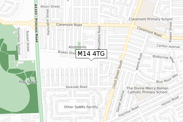
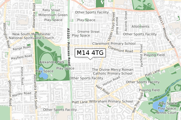
M14 4TG maps


Source: OS Open Zoomstack (Ordnance Survey)
Licence: Open Government Licence (requires attribution)
Attribution: Contains OS data © Crown copyright and database right 2025
Source: Open Postcode Geo
Licence: Open Government Licence (requires attribution)
Attribution: Contains OS data © Crown copyright and database right 2025; Contains Royal Mail data © Royal Mail copyright and database right 2025; Source: Office for National Statistics licensed under the Open Government Licence v.3.0
Licence: Open Government Licence (requires attribution)
Attribution: Contains OS data © Crown copyright and database right 2025
Source: Open Postcode Geo
Licence: Open Government Licence (requires attribution)
Attribution: Contains OS data © Crown copyright and database right 2025; Contains Royal Mail data © Royal Mail copyright and database right 2025; Source: Office for National Statistics licensed under the Open Government Licence v.3.0
M14 4TG geodata
| Easting | 384129 |
| Northing | 395021 |
| Latitude | 53.451722 |
| Longitude | -2.240452 |
Where is M14 4TG?
| Country | England |
| Postcode District | M14 |
Politics
| Ward | Whalley Range |
|---|---|
| Constituency | Manchester Central |
Transport
Nearest bus stops to M14 4TG
| Lloyd St South/Parkside Rd (Lloyd St South) | Moss Side | 196m |
| Lloyd St South/Parkside (Lloyd St South) | Moss Side | 203m |
| Lloyd St South/Claremont Rd (Lloyd St South) | Moss Side | 225m |
| Lloyd St South/Claremont Rd (Lloyd St South) | Moss Side | 251m |
| Bowes St/Princess Rd (Bowes St) | Moss Side | 256m |
Nearest railway stations to M14 4TG
| Manchester Oxford Road Station | 2.5km |
| Deansgate Station | 2.6km |
| Ardwick Station | 2.8km |
Deprivation
92.7% of English postcodes are less deprived than M14 4TG:Food Standards Agency
Three nearest food hygiene ratings to M14 4TG (metres)
One Stop

56-58 Lloyd Street South
144m
Gaza Halal Meat Centre

24-26 Lloyd Street South
148m
Just Biryani
31 Lloyd Street South
180m
➜ Get more ratings from the Food Standards Agency
Nearest post box to M14 4TG
| Last Collection | |||
|---|---|---|---|
| Location | Mon-Fri | Sat | Distance |
| Opp 47 Lloyd Street South | 17:30 | 12:00 | 188m |
| 251 Claremont Road | 17:30 | 12:00 | 264m |
| Princess Road P.o. | 17:30 | 12:00 | 344m |
M14 4TG ITL and M14 4TG LAU
The below table lists the International Territorial Level (ITL) codes (formerly Nomenclature of Territorial Units for Statistics (NUTS) codes) and Local Administrative Units (LAU) codes for M14 4TG:
| ITL 1 Code | Name |
|---|---|
| TLD | North West (England) |
| ITL 2 Code | Name |
| TLD3 | Greater Manchester |
| ITL 3 Code | Name |
| TLD33 | Manchester |
| LAU 1 Code | Name |
| E08000003 | Manchester |
M14 4TG census areas
The below table lists the Census Output Area (OA), Lower Layer Super Output Area (LSOA), and Middle Layer Super Output Area (MSOA) for M14 4TG:
| Code | Name | |
|---|---|---|
| OA | E00026549 | |
| LSOA | E01005240 | Manchester 024A |
| MSOA | E02001068 | Manchester 024 |
Nearest postcodes to M14 4TG
| M14 4UZ | Bowes Street | 60m |
| M14 7JW | Laurel Avenue | 73m |
| M14 7JJ | Broadfield Road | 76m |
| M14 7JT | Broadfield Road | 84m |
| M14 7JH | Broadfield Road | 90m |
| M14 7HX | Burdith Avenue | 98m |
| M14 7HU | Edith Avenue | 100m |
| M14 7JA | Cranswick Street | 111m |
| M14 4UL | Caythorpe Street | 119m |
| M14 7JP | Yew Tree Avenue | 121m |