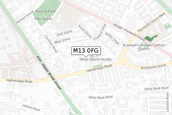
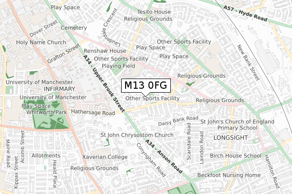
M13 0FG is located in the Ardwick electoral ward, within the metropolitan district of Manchester and the English Parliamentary constituency of Manchester Central. The Sub Integrated Care Board (ICB) Location is NHS Greater Manchester ICB - 14L and the police force is Greater Manchester. This postcode has been in use since October 2017.


GetTheData
Source: OS Open Zoomstack (Ordnance Survey)
Licence: Open Government Licence (requires attribution)
Attribution: Contains OS data © Crown copyright and database right 2025
Source: Open Postcode Geo
Licence: Open Government Licence (requires attribution)
Attribution: Contains OS data © Crown copyright and database right 2025; Contains Royal Mail data © Royal Mail copyright and database right 2025; Source: Office for National Statistics licensed under the Open Government Licence v.3.0
| Easting | 385671 |
| Northing | 395974 |
| Latitude | 53.460333 |
| Longitude | -2.217276 |
GetTheData
Source: Open Postcode Geo
Licence: Open Government Licence
| Country | England |
| Postcode District | M13 |
➜ See where M13 is on a map ➜ Where is Manchester? | |
GetTheData
Source: Land Registry Price Paid Data
Licence: Open Government Licence
| Ward | Ardwick |
| Constituency | Manchester Central |
GetTheData
Source: ONS Postcode Database
Licence: Open Government Licence
| Upper Brook St/Hathersage Rd (Upper Brook St) | Rusholme | 230m |
| Plymouth Gr/Winterford Ave (Plymouth Gr) | Chorlton Upon Medlock | 250m |
| Plymouth Gr/Winterford Ave (Plymouth Gr) | Chorlton Upon Medlock | 251m |
| Upper Brook St/Hathersage Rd (Upper Brook St) | Chorlton Upon Medlock | 254m |
| Plymouth Gr/Lincoln Gr (Plymouth Gr) | Chorlton Upon Medlock | 292m |
| Ardwick Station | 1.2km |
| Ashburys Station | 2km |
| Manchester Piccadilly Station | 2.1km |
GetTheData
Source: NaPTAN
Licence: Open Government Licence
| Percentage of properties with Next Generation Access | 0.0% |
| Percentage of properties with Superfast Broadband | 0.0% |
| Percentage of properties with Ultrafast Broadband | 0.0% |
| Percentage of properties with Full Fibre Broadband | 0.0% |
Superfast Broadband is between 30Mbps and 300Mbps
Ultrafast Broadband is > 300Mbps
| Percentage of properties unable to receive 2Mbps | 0.0% |
| Percentage of properties unable to receive 5Mbps | 0.0% |
| Percentage of properties unable to receive 10Mbps | 0.0% |
| Percentage of properties unable to receive 30Mbps | 100.0% |
GetTheData
Source: Ofcom
Licence: Ofcom Terms of Use (requires attribution)
GetTheData
Source: ONS Postcode Database
Licence: Open Government Licence


➜ Get more ratings from the Food Standards Agency
GetTheData
Source: Food Standards Agency
Licence: FSA terms & conditions
| Last Collection | |||
|---|---|---|---|
| Location | Mon-Fri | Sat | Distance |
| Alexander Grove | 17:30 | 12:00 | 240m |
| High Street Hathersage Road | 17:30 | 12:00 | 243m |
| Lorne Street | 17:30 | 12:00 | 507m |
GetTheData
Source: Dracos
Licence: Creative Commons Attribution-ShareAlike
The below table lists the International Territorial Level (ITL) codes (formerly Nomenclature of Territorial Units for Statistics (NUTS) codes) and Local Administrative Units (LAU) codes for M13 0FG:
| ITL 1 Code | Name |
|---|---|
| TLD | North West (England) |
| ITL 2 Code | Name |
| TLD3 | Greater Manchester |
| ITL 3 Code | Name |
| TLD33 | Manchester |
| LAU 1 Code | Name |
| E08000003 | Manchester |
GetTheData
Source: ONS Postcode Directory
Licence: Open Government Licence
The below table lists the Census Output Area (OA), Lower Layer Super Output Area (LSOA), and Middle Layer Super Output Area (MSOA) for M13 0FG:
| Code | Name | |
|---|---|---|
| OA | E00175932 | |
| LSOA | E01033657 | Manchester 022G |
| MSOA | E02001066 | Manchester 022 |
GetTheData
Source: ONS Postcode Directory
Licence: Open Government Licence
| M13 0BB | Upper West Grove | 101m |
| M13 0FE | Hathersage Road | 116m |
| M13 0EN | Olney Street | 128m |
| M13 0EJ | Hathersage Road | 135m |
| M13 0DA | Edbrook Walk | 137m |
| M13 0AZ | North Grove | 146m |
| M13 0FN | Hathersage Road | 151m |
| M13 0FL | Naburn Street | 152m |
| M13 0AU | South Grove | 154m |
| M13 0EL | Welby Street | 155m |
GetTheData
Source: Open Postcode Geo; Land Registry Price Paid Data
Licence: Open Government Licence