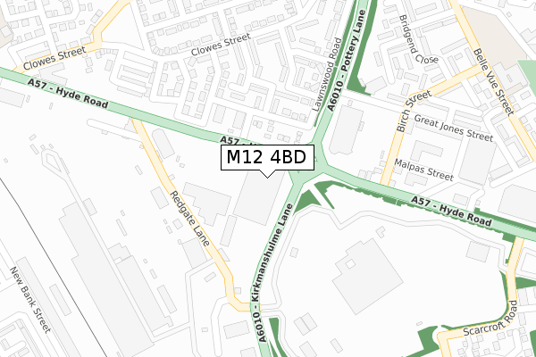
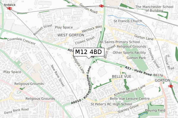
M12 4BD is located in the Ardwick electoral ward, within the metropolitan district of Manchester and the English Parliamentary constituency of Manchester Central. The Sub Integrated Care Board (ICB) Location is NHS Greater Manchester ICB - 14L and the police force is Greater Manchester. This postcode has been in use since September 2017.


GetTheData
Source: OS Open Zoomstack (Ordnance Survey)
Licence: Open Government Licence (requires attribution)
Attribution: Contains OS data © Crown copyright and database right 2025
Source: Open Postcode Geo
Licence: Open Government Licence (requires attribution)
Attribution: Contains OS data © Crown copyright and database right 2025; Contains Royal Mail data © Royal Mail copyright and database right 2025; Source: Office for National Statistics licensed under the Open Government Licence v.3.0
| Easting | 386989 |
| Northing | 396506 |
| Latitude | 53.465149 |
| Longitude | -2.197448 |
GetTheData
Source: Open Postcode Geo
Licence: Open Government Licence
| Country | England |
| Postcode District | M12 |
➜ See where M12 is on a map ➜ Where is Manchester? | |
GetTheData
Source: Land Registry Price Paid Data
Licence: Open Government Licence
| Ward | Ardwick |
| Constituency | Manchester Central |
GetTheData
Source: ONS Postcode Database
Licence: Open Government Licence
| Hyde Rd/Pottery Ln (Hyde Rd) | West Gorton | 36m |
| Hyde Rd/Pottery Ln (Hyde Rd) | West Gorton | 66m |
| Hyde Rd/Redgate Ln (Hyde Rd) | West Gorton | 205m |
| Hyde Rd/Birch St (Hyde Rd) | West Gorton | 251m |
| Hyde Rd/Boundary St (Hyde Rd) | West Gorton | 316m |
| Ashburys Station | 0.8km |
| Belle Vue Station | 1.2km |
| Ardwick Station | 1.3km |
GetTheData
Source: NaPTAN
Licence: Open Government Licence
GetTheData
Source: ONS Postcode Database
Licence: Open Government Licence


➜ Get more ratings from the Food Standards Agency
GetTheData
Source: Food Standards Agency
Licence: FSA terms & conditions
| Last Collection | |||
|---|---|---|---|
| Location | Mon-Fri | Sat | Distance |
| Birch Street | 17:30 | 12:00 | 273m |
| West Gorton | 17:30 | 12:00 | 395m |
| Kinley Street | 17:30 | 12:00 | 500m |
GetTheData
Source: Dracos
Licence: Creative Commons Attribution-ShareAlike
The below table lists the International Territorial Level (ITL) codes (formerly Nomenclature of Territorial Units for Statistics (NUTS) codes) and Local Administrative Units (LAU) codes for M12 4BD:
| ITL 1 Code | Name |
|---|---|
| TLD | North West (England) |
| ITL 2 Code | Name |
| TLD3 | Greater Manchester |
| ITL 3 Code | Name |
| TLD33 | Manchester |
| LAU 1 Code | Name |
| E08000003 | Manchester |
GetTheData
Source: ONS Postcode Directory
Licence: Open Government Licence
The below table lists the Census Output Area (OA), Lower Layer Super Output Area (LSOA), and Middle Layer Super Output Area (MSOA) for M12 4BD:
| Code | Name | |
|---|---|---|
| OA | E00026489 | |
| LSOA | E01005232 | Manchester 020C |
| MSOA | E02001064 | Manchester 020 |
GetTheData
Source: ONS Postcode Directory
Licence: Open Government Licence
| M12 5FL | Hyde Road | 180m |
| M12 5FR | Donnison Street | 199m |
| M12 5EQ | Abbotsbury Close | 201m |
| M12 4RY | Redgate Lane | 206m |
| M12 5EW | Hoyland Close | 214m |
| M12 5EP | Radbourne Close | 226m |
| M12 5UB | Lawnswood Road | 255m |
| M12 5ER | Dashwood Walk | 263m |
| M12 5EB | Clowes Street | 272m |
| M12 5NT | Birch Street | 282m |
GetTheData
Source: Open Postcode Geo; Land Registry Price Paid Data
Licence: Open Government Licence