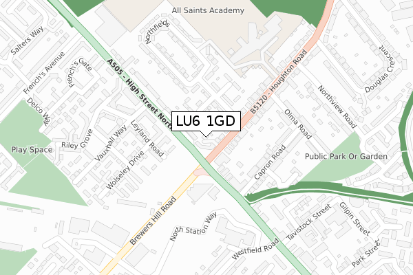
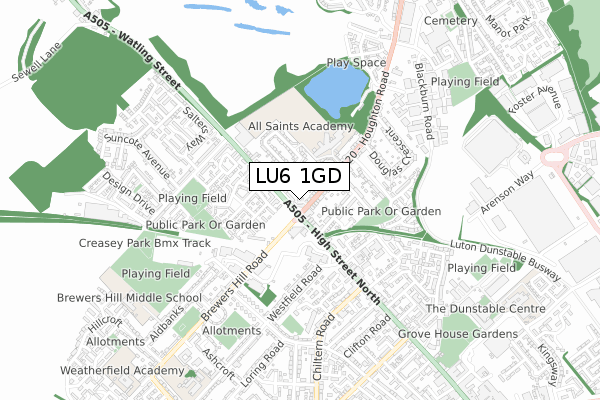
LU6 1GD is located in the Dunstable North electoral ward, within the unitary authority of Central Bedfordshire and the English Parliamentary constituency of South West Bedfordshire. The Sub Integrated Care Board (ICB) Location is NHS Bedfordshire, Luton and Milton Keynes ICB - M1J4Y and the police force is Bedfordshire. This postcode has been in use since December 2017.


GetTheData
Source: OS Open Zoomstack (Ordnance Survey)
Licence: Open Government Licence (requires attribution)
Attribution: Contains OS data © Crown copyright and database right 2025
Source: Open Postcode Geo
Licence: Open Government Licence (requires attribution)
Attribution: Contains OS data © Crown copyright and database right 2025; Contains Royal Mail data © Royal Mail copyright and database right 2025; Source: Office for National Statistics licensed under the Open Government Licence v.3.0
| Easting | 501095 |
| Northing | 222810 |
| Latitude | 51.894689 |
| Longitude | -0.532229 |
GetTheData
Source: Open Postcode Geo
Licence: Open Government Licence
| Country | England |
| Postcode District | LU6 |
➜ See where LU6 is on a map ➜ Where is Dunstable? | |
GetTheData
Source: Land Registry Price Paid Data
Licence: Open Government Licence
| Ward | Dunstable North |
| Constituency | South West Bedfordshire |
GetTheData
Source: ONS Postcode Database
Licence: Open Government Licence
| Northfields (Houghton Road) | Dunstable | 62m |
| Watling Court (High Street North) | Dunstable | 113m |
| Watling Court (High Street North) | Dunstable | 121m |
| Northfields (Houghton Road) | Dunstable | 128m |
| District Council Offices (High Street North) | Dunstable | 250m |
GetTheData
Source: NaPTAN
Licence: Open Government Licence
| Percentage of properties with Next Generation Access | 100.0% |
| Percentage of properties with Superfast Broadband | 100.0% |
| Percentage of properties with Ultrafast Broadband | 100.0% |
| Percentage of properties with Full Fibre Broadband | 0.0% |
Superfast Broadband is between 30Mbps and 300Mbps
Ultrafast Broadband is > 300Mbps
| Percentage of properties unable to receive 2Mbps | 0.0% |
| Percentage of properties unable to receive 5Mbps | 0.0% |
| Percentage of properties unable to receive 10Mbps | 0.0% |
| Percentage of properties unable to receive 30Mbps | 0.0% |
GetTheData
Source: Ofcom
Licence: Ofcom Terms of Use (requires attribution)
GetTheData
Source: ONS Postcode Database
Licence: Open Government Licence


➜ Get more ratings from the Food Standards Agency
GetTheData
Source: Food Standards Agency
Licence: FSA terms & conditions
| Last Collection | |||
|---|---|---|---|
| Location | Mon-Fri | Sat | Distance |
| High Street North | 16:15 | 12:00 | 253m |
| Frenchs Avenue | 16:30 | 11:30 | 390m |
| Douglas Crescent | 16:30 | 11:45 | 468m |
GetTheData
Source: Dracos
Licence: Creative Commons Attribution-ShareAlike
The below table lists the International Territorial Level (ITL) codes (formerly Nomenclature of Territorial Units for Statistics (NUTS) codes) and Local Administrative Units (LAU) codes for LU6 1GD:
| ITL 1 Code | Name |
|---|---|
| TLH | East |
| ITL 2 Code | Name |
| TLH2 | Bedfordshire and Hertfordshire |
| ITL 3 Code | Name |
| TLH25 | Central Bedfordshire |
| LAU 1 Code | Name |
| E06000056 | Central Bedfordshire |
GetTheData
Source: ONS Postcode Directory
Licence: Open Government Licence
The below table lists the Census Output Area (OA), Lower Layer Super Output Area (LSOA), and Middle Layer Super Output Area (MSOA) for LU6 1GD:
| Code | Name | |
|---|---|---|
| OA | E00088828 | |
| LSOA | E01017599 | Central Bedfordshire 028F |
| MSOA | E02003646 | Central Bedfordshire 028 |
GetTheData
Source: ONS Postcode Directory
Licence: Open Government Licence
| LU6 1DD | Houghton Road | 21m |
| LU6 1DA | Houghton Parade | 26m |
| LU6 1DB | High Street North | 43m |
| LU5 5AA | Houghton Road | 53m |
| LU6 1AU | High Street North | 108m |
| LU5 5AN | Northfields | 121m |
| LU6 1FF | Leyland Road | 131m |
| LU5 5AG | Capron Road | 156m |
| LU5 5AD | Houghton Road | 160m |
| LU6 1BE | High Street North | 188m |
GetTheData
Source: Open Postcode Geo; Land Registry Price Paid Data
Licence: Open Government Licence