Property/Postcode Data Search:
LS9 6PN maps, stats, and open data
LS9 6PN is located in the Gipton & Harehills electoral ward, within the metropolitan district of Leeds and the English Parliamentary constituency of Leeds East. The Sub Integrated Care Board (ICB) Location is NHS West Yorkshire ICB - 15F and the police force is West Yorkshire. This postcode has been in use since November 2019.
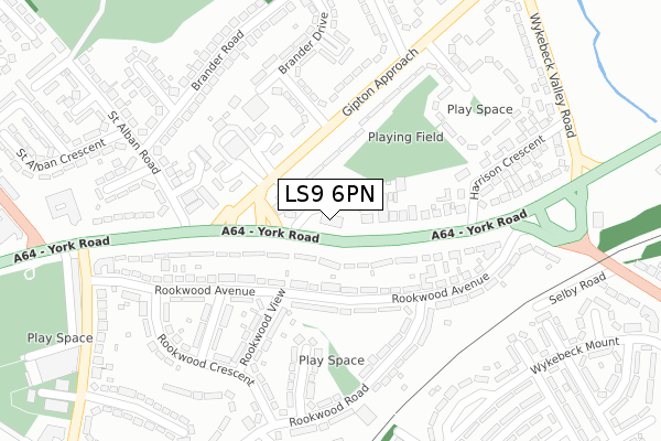
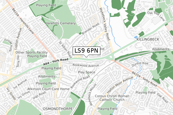
LS9 6PN maps


Source: OS Open Zoomstack (Ordnance Survey)
Licence: Open Government Licence (requires attribution)
Attribution: Contains OS data © Crown copyright and database right 2025
Source: Open Postcode Geo
Licence: Open Government Licence (requires attribution)
Attribution: Contains OS data © Crown copyright and database right 2025; Contains Royal Mail data © Royal Mail copyright and database right 2025; Source: Office for National Statistics licensed under the Open Government Licence v.3.0
Licence: Open Government Licence (requires attribution)
Attribution: Contains OS data © Crown copyright and database right 2025
Source: Open Postcode Geo
Licence: Open Government Licence (requires attribution)
Attribution: Contains OS data © Crown copyright and database right 2025; Contains Royal Mail data © Royal Mail copyright and database right 2025; Source: Office for National Statistics licensed under the Open Government Licence v.3.0
LS9 6PN geodata
| Easting | 433578 |
| Northing | 434083 |
| Latitude | 53.801986 |
| Longitude | -1.491661 |
Where is LS9 6PN?
| Country | England |
| Postcode District | LS9 |
Politics
| Ward | Gipton & Harehills |
|---|---|
| Constituency | Leeds East |
Transport
Nearest bus stops to LS9 6PN
| York Rd Gipton Approach (York Road) | Osmondthorpe | 48m |
| York Rd Gipton Approach (York Road) | Osmondthorpe | 77m |
| Fire Station (Gipton Approach) | Gipton | 91m |
| York Rd Harrison Crescent (York Road (Guided Bus Way)) | Osmondthorpe | 103m |
| Fire Station (Gipton Approach) | Gipton | 125m |
Nearest railway stations to LS9 6PN
| Cross Gates Station | 2.7km |
| Leeds Station | 3.8km |
Deprivation
95.8% of English postcodes are less deprived than LS9 6PN:Food Standards Agency
Three nearest food hygiene ratings to LS9 6PN (metres)
Rookwood Stores

530 York Road
107m
Rookwood Post Office

532 York Road
107m
Green Dragon

597 York Road
151m
➜ Get more ratings from the Food Standards Agency
Nearest post box to LS9 6PN
| Last Collection | |||
|---|---|---|---|
| Location | Mon-Fri | Sat | Distance |
| Rookwood P.o. | 18:45 | 12:15 | 240m |
| 72 Brander Road | 18:30 | 11:45 | 319m |
| Gipton Approach | 18:30 | 11:30 | 461m |
LS9 6PN ITL and LS9 6PN LAU
The below table lists the International Territorial Level (ITL) codes (formerly Nomenclature of Territorial Units for Statistics (NUTS) codes) and Local Administrative Units (LAU) codes for LS9 6PN:
| ITL 1 Code | Name |
|---|---|
| TLE | Yorkshire and The Humber |
| ITL 2 Code | Name |
| TLE4 | West Yorkshire |
| ITL 3 Code | Name |
| TLE42 | Leeds |
| LAU 1 Code | Name |
| E08000035 | Leeds |
LS9 6PN census areas
The below table lists the Census Output Area (OA), Lower Layer Super Output Area (LSOA), and Middle Layer Super Output Area (MSOA) for LS9 6PN:
| Code | Name | |
|---|---|---|
| OA | E00057135 | |
| LSOA | E01011346 | Leeds 060D |
| MSOA | E02002389 | Leeds 060 |
Nearest postcodes to LS9 6PN
| LS9 0HH | York Road | 104m |
| LS9 0NN | Rookwood Avenue | 132m |
| LS9 6NW | York Road | 152m |
| LS9 6NN | Gipton Approach | 175m |
| LS9 6NT | Brander Approach | 180m |
| LS9 6NL | Fire Station Houses | 184m |
| LS9 0NL | Rookwood Avenue | 214m |
| LS9 6NS | Gipton Square | 234m |
| LS9 6AD | St Alban Court | 241m |
| LS9 0NG | Rookwood View | 242m |