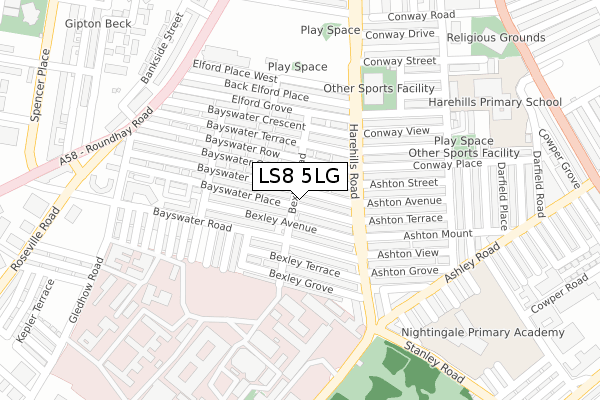
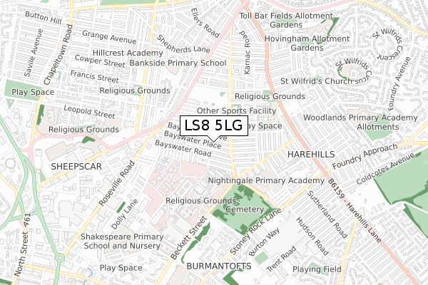
LS8 5LG is located in the Gipton & Harehills electoral ward, within the metropolitan district of Leeds and the English Parliamentary constituency of Leeds East. The Sub Integrated Care Board (ICB) Location is NHS West Yorkshire ICB - 15F and the police force is West Yorkshire. This postcode has been in use since January 2020.


GetTheData
Source: OS Open Zoomstack (Ordnance Survey)
Licence: Open Government Licence (requires attribution)
Attribution: Contains OS data © Crown copyright and database right 2025
Source: Open Postcode Geo
Licence: Open Government Licence (requires attribution)
Attribution: Contains OS data © Crown copyright and database right 2025; Contains Royal Mail data © Royal Mail copyright and database right 2025; Source: Office for National Statistics licensed under the Open Government Licence v.3.0
| Easting | 431790 |
| Northing | 435012 |
| Latitude | 53.810447 |
| Longitude | -1.518712 |
GetTheData
Source: Open Postcode Geo
Licence: Open Government Licence
| Country | England |
| Postcode District | LS8 |
➜ See where LS8 is on a map ➜ Where is Leeds? | |
GetTheData
Source: Land Registry Price Paid Data
Licence: Open Government Licence
| Ward | Gipton & Harehills |
| Constituency | Leeds East |
GetTheData
Source: ONS Postcode Database
Licence: Open Government Licence
| Harehills Road Elford Place East (Harehills Road) | Harehills | 145m |
| Harehills Road Conway View (Harehills Road) | Harehills | 161m |
| Harehills Road Ashton Grove (Harehills Road) | Harehills | 213m |
| Harehills Road Bexley View (Harehills Road) | Harehills | 216m |
| Stanley Rd Ashley Road (Stanley Road) | Harehills | 269m |
| Leeds Station | 2.5km |
| Burley Park Station | 3.9km |
| Cross Gates Station | 4.5km |
GetTheData
Source: NaPTAN
Licence: Open Government Licence
GetTheData
Source: ONS Postcode Database
Licence: Open Government Licence


➜ Get more ratings from the Food Standards Agency
GetTheData
Source: Food Standards Agency
Licence: FSA terms & conditions
| Last Collection | |||
|---|---|---|---|
| Location | Mon-Fri | Sat | Distance |
| Elford Grove P.o. | 18:45 | 11:45 | 86m |
| Harehills Road | 18:15 | 11:15 | 258m |
| Roundhay Rd/Whitfield Street | 17:45 | 11:30 | 326m |
GetTheData
Source: Dracos
Licence: Creative Commons Attribution-ShareAlike
The below table lists the International Territorial Level (ITL) codes (formerly Nomenclature of Territorial Units for Statistics (NUTS) codes) and Local Administrative Units (LAU) codes for LS8 5LG:
| ITL 1 Code | Name |
|---|---|
| TLE | Yorkshire and The Humber |
| ITL 2 Code | Name |
| TLE4 | West Yorkshire |
| ITL 3 Code | Name |
| TLE42 | Leeds |
| LAU 1 Code | Name |
| E08000035 | Leeds |
GetTheData
Source: ONS Postcode Directory
Licence: Open Government Licence
The below table lists the Census Output Area (OA), Lower Layer Super Output Area (LSOA), and Middle Layer Super Output Area (MSOA) for LS8 5LG:
| Code | Name | |
|---|---|---|
| OA | E00058808 | |
| LSOA | E01011677 | Leeds 064D |
| MSOA | E02002393 | Leeds 064 |
GetTheData
Source: ONS Postcode Directory
Licence: Open Government Licence
| LS8 5LW | Bayswater Mount | 37m |
| LS8 5LS | Bayswater Place | 40m |
| LS8 5LN | Bayswater Grove | 53m |
| LS8 5LT | Bexley Avenue | 70m |
| LS8 5LE | Harehills Road | 77m |
| LS8 5NW | Bayswater Road | 91m |
| LS8 5LF | Bayswater Row | 91m |
| LS8 5LU | Bexley Avenue | 98m |
| LS8 5NT | Bayswater Road | 98m |
| LS8 5NX | Bexley Terrace | 119m |
GetTheData
Source: Open Postcode Geo; Land Registry Price Paid Data
Licence: Open Government Licence