Property/Postcode Data Search:
LS27 0GB maps, stats, and open data
LS27 0GB is located in the Morley South electoral ward, within the metropolitan district of Leeds and the English Parliamentary constituency of Morley and Outwood. The Sub Integrated Care Board (ICB) Location is NHS West Yorkshire ICB - 15F and the police force is West Yorkshire. This postcode has been in use since August 2019.
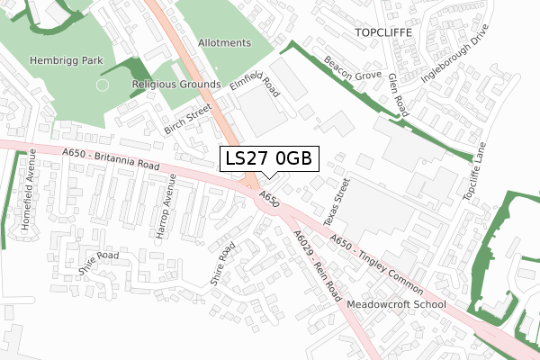
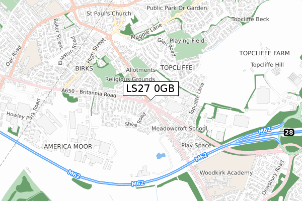
LS27 0GB maps


Source: OS Open Zoomstack (Ordnance Survey)
Licence: Open Government Licence (requires attribution)
Attribution: Contains OS data © Crown copyright and database right 2025
Source: Open Postcode Geo
Licence: Open Government Licence (requires attribution)
Attribution: Contains OS data © Crown copyright and database right 2025; Contains Royal Mail data © Royal Mail copyright and database right 2025; Source: Office for National Statistics licensed under the Open Government Licence v.3.0
Licence: Open Government Licence (requires attribution)
Attribution: Contains OS data © Crown copyright and database right 2025
Source: Open Postcode Geo
Licence: Open Government Licence (requires attribution)
Attribution: Contains OS data © Crown copyright and database right 2025; Contains Royal Mail data © Royal Mail copyright and database right 2025; Source: Office for National Statistics licensed under the Open Government Licence v.3.0
LS27 0GB geodata
| Easting | 426857 |
| Northing | 426682 |
| Latitude | 53.735856 |
| Longitude | -1.594346 |
Where is LS27 0GB?
| Country | England |
| Postcode District | LS27 |
Politics
| Ward | Morley South |
|---|---|
| Constituency | Morley And Outwood |
Transport
Nearest bus stops to LS27 0GB
| Tingley Mills (Bridge Street) | Morley | 76m |
| Tingley Mills (Britannia Road) | Morley | 94m |
| Tingley Mills (Bridge Street) | Morley | 107m |
| Rein Road Tingley Common (Rein Road) | Morley | 136m |
| Rein Road | Morley | 221m |
Nearest railway stations to LS27 0GB
| Morley Station | 1.6km |
| Batley Station | 3.4km |
| Cottingley Station | 3.6km |
Deprivation
83.4% of English postcodes are less deprived than LS27 0GB:Food Standards Agency
Three nearest food hygiene ratings to LS27 0GB (metres)
Gate Of India

Bridge Street
15m
Tingley Bar Fisheries
Tingley Bar
15m
Britania Stores

Paulena Terrace
128m
➜ Get more ratings from the Food Standards Agency
Nearest post box to LS27 0GB
| Last Collection | |||
|---|---|---|---|
| Location | Mon-Fri | Sat | Distance |
| Britannia Road Post Office | 17:30 | 12:00 | 119m |
| Bridge Court | 17:30 | 12:00 | 433m |
| Howley Park | 494m | ||
LS27 0GB ITL and LS27 0GB LAU
The below table lists the International Territorial Level (ITL) codes (formerly Nomenclature of Territorial Units for Statistics (NUTS) codes) and Local Administrative Units (LAU) codes for LS27 0GB:
| ITL 1 Code | Name |
|---|---|
| TLE | Yorkshire and The Humber |
| ITL 2 Code | Name |
| TLE4 | West Yorkshire |
| ITL 3 Code | Name |
| TLE42 | Leeds |
| LAU 1 Code | Name |
| E08000035 | Leeds |
LS27 0GB census areas
The below table lists the Census Output Area (OA), Lower Layer Super Output Area (LSOA), and Middle Layer Super Output Area (MSOA) for LS27 0GB:
| Code | Name | |
|---|---|---|
| OA | E00165680 | |
| LSOA | E01011547 | Leeds 104D |
| MSOA | E02002433 | Leeds 104 |
Nearest postcodes to LS27 0GB
| LS27 0HE | 76m | |
| LS27 0JD | Britannia Road | 86m |
| LS27 0EQ | Askey Crescent | 100m |
| LS27 0EF | Britannia Road | 111m |
| LS27 0JE | Paulena Terrace | 124m |
| LS27 0QU | Shire Close | 139m |
| LS27 0QL | Shire Road | 140m |
| LS27 0EG | Askey Avenue | 174m |
| LS27 0EZ | Bridge Street | 194m |
| LS27 0JF | Beacon View | 194m |