Property/Postcode Data Search:
LS16 0GT maps, stats, and open data
LS16 0GT is located in the Weetwood electoral ward, within the metropolitan district of Leeds and the English Parliamentary constituency of Leeds North West. The Sub Integrated Care Board (ICB) Location is NHS West Yorkshire ICB - 15F and the police force is West Yorkshire. This postcode has been in use since March 2018.
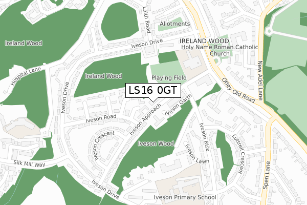
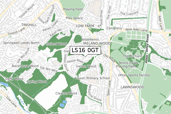
LS16 0GT maps


Source: OS Open Zoomstack (Ordnance Survey)
Licence: Open Government Licence (requires attribution)
Attribution: Contains OS data © Crown copyright and database right 2025
Source: Open Postcode Geo
Licence: Open Government Licence (requires attribution)
Attribution: Contains OS data © Crown copyright and database right 2025; Contains Royal Mail data © Royal Mail copyright and database right 2025; Source: Office for National Statistics licensed under the Open Government Licence v.3.0
Licence: Open Government Licence (requires attribution)
Attribution: Contains OS data © Crown copyright and database right 2025
Source: Open Postcode Geo
Licence: Open Government Licence (requires attribution)
Attribution: Contains OS data © Crown copyright and database right 2025; Contains Royal Mail data © Royal Mail copyright and database right 2025; Source: Office for National Statistics licensed under the Open Government Licence v.3.0
LS16 0GT geodata
| Easting | 425988 |
| Northing | 438928 |
| Latitude | 53.845964 |
| Longitude | -1.606492 |
Where is LS16 0GT?
| Country | England |
| Postcode District | LS16 |
Politics
| Ward | Weetwood |
|---|---|
| Constituency | Leeds North West |
Transport
Nearest bus stops to LS16 0GT
| Iveson Approach Iveson Grove (Iveson Approach) | Ireland Wood | 22m |
| Iveson Approach Iveson Grove (Iveson Approach) | Ireland Wood | 28m |
| Iveson Approach Otley Old Road (Iveson Approach) | Ireland Wood | 190m |
| Otley Old Rd Iveson Drive (Otley Old Road) | Ireland Wood | 236m |
| Otley Old Rd Iveson Drive (Otley Old Road) | Ireland Wood | 246m |
Nearest railway stations to LS16 0GT
| Horsforth Station | 1.6km |
| Kirkstall Forge Station | 2.7km |
| Headingley Station | 3.2km |
Deprivation
90.2% of English postcodes are less deprived than LS16 0GT:Food Standards Agency
Three nearest food hygiene ratings to LS16 0GT (metres)
Ivey Cafe

The Ivey
64m
Food And Booze Mini Mart

3 - 5 Iveson Approach
75m
New Oriental Ltd

21 Iveson Approach
75m
➜ Get more ratings from the Food Standards Agency
Nearest post box to LS16 0GT
| Last Collection | |||
|---|---|---|---|
| Location | Mon-Fri | Sat | Distance |
| Iveson Road/Iveson Approach | 17:45 | 11:30 | 89m |
| Ireland Wood P.o. | 18:15 | 11:45 | 335m |
| New Adel Lane | 17:30 | 11:30 | 391m |
LS16 0GT ITL and LS16 0GT LAU
The below table lists the International Territorial Level (ITL) codes (formerly Nomenclature of Territorial Units for Statistics (NUTS) codes) and Local Administrative Units (LAU) codes for LS16 0GT:
| ITL 1 Code | Name |
|---|---|
| TLE | Yorkshire and The Humber |
| ITL 2 Code | Name |
| TLE4 | West Yorkshire |
| ITL 3 Code | Name |
| TLE42 | Leeds |
| LAU 1 Code | Name |
| E08000035 | Leeds |
LS16 0GT census areas
The below table lists the Census Output Area (OA), Lower Layer Super Output Area (LSOA), and Middle Layer Super Output Area (MSOA) for LS16 0GT:
| Code | Name | |
|---|---|---|
| OA | E00058935 | |
| LSOA | E01011695 | Leeds 019D |
| MSOA | E02002348 | Leeds 019 |
Nearest postcodes to LS16 0GT
| LS16 6ND | Iveson Grove | 44m |
| LS16 6LL | Iveson Garth | 77m |
| LS16 6NP | Iveson Green | 161m |
| LS16 6NN | Iveson Road | 178m |
| LS16 6NT | Iveson Approach | 183m |
| LS16 6NG | Iveson Drive | 198m |
| LS16 6NQ | Iveson Drive | 219m |
| LS16 6NU | Iveson Crescent | 225m |
| LS16 6LN | Iveson Rise | 232m |
| LS16 6NW | Iveson Close | 237m |