LS15 0FA maps, stats, and open data
LS15 0FA is located in the Temple Newsam electoral ward, within the metropolitan district of Leeds and the English Parliamentary constituency of Leeds East. The Sub Integrated Care Board (ICB) Location is NHS West Yorkshire ICB - 15F and the police force is West Yorkshire. This postcode has been in use since April 2019.
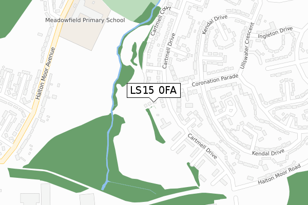
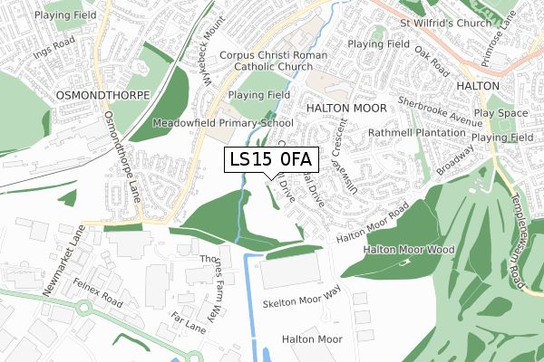
LS15 0FA maps


Licence: Open Government Licence (requires attribution)
Attribution: Contains OS data © Crown copyright and database right 2025
Source: Open Postcode Geo
Licence: Open Government Licence (requires attribution)
Attribution: Contains OS data © Crown copyright and database right 2025; Contains Royal Mail data © Royal Mail copyright and database right 2025; Source: Office for National Statistics licensed under the Open Government Licence v.3.0
LS15 0FA geodata
| Easting | 433915 |
| Northing | 432919 |
| Latitude | 53.791502 |
| Longitude | -1.486672 |
Where is LS15 0FA?
| Country | England |
| Postcode District | LS15 |
Politics
| Ward | Temple Newsam |
|---|---|
| Constituency | Leeds East |
House Prices
Sales of detached houses in LS15 0FA
9, HIGHLAND COURT, LEEDS, LS15 0FA 2025 17 SEP £245,000 |
9, HIGHLAND COURT, LEEDS, LS15 0FA 2021 12 FEB £186,000 |
9, HIGHLAND COURT, LEEDS, LS15 0FA 2019 29 MAR £179,995 |
Licence: Contains HM Land Registry data © Crown copyright and database right 2025. This data is licensed under the Open Government Licence v3.0.
Transport
Nearest bus stops to LS15 0FA
| Coronation Parade (Cartmell Drive) | Halton Moor | 82m |
| Coronation Parade | Halton Moor | 84m |
| Cartmell Drive Grayrigg Court (Cartmell Drive) | Halton Moor | 240m |
| Ullswater Crescent Coronation Parade (Ullswater Crescent) | Halton Moor | 308m |
| Ullswater Crescent Coronation Parade (Ullswater Crescent) | Halton Moor | 314m |
Nearest railway stations to LS15 0FA
| Cross Gates Station | 2.8km |
| Leeds Station | 4.1km |
| Woodlesford Station | 4.8km |
Broadband
Broadband access in LS15 0FA (2020 data)
| Percentage of properties with Next Generation Access | 100.0% |
| Percentage of properties with Superfast Broadband | 100.0% |
| Percentage of properties with Ultrafast Broadband | 100.0% |
| Percentage of properties with Full Fibre Broadband | 100.0% |
Superfast Broadband is between 30Mbps and 300Mbps
Ultrafast Broadband is > 300Mbps
Broadband limitations in LS15 0FA (2020 data)
| Percentage of properties unable to receive 2Mbps | 0.0% |
| Percentage of properties unable to receive 5Mbps | 0.0% |
| Percentage of properties unable to receive 10Mbps | 0.0% |
| Percentage of properties unable to receive 30Mbps | 0.0% |
Deprivation
97.8% of English postcodes are less deprived than LS15 0FA:Food Standards Agency
Three nearest food hygiene ratings to LS15 0FA (metres)


➜ Get more ratings from the Food Standards Agency
Nearest post box to LS15 0FA
| Last Collection | |||
|---|---|---|---|
| Location | Mon-Fri | Sat | Distance |
| Cartmell Drive | 16:45 | 11:30 | 209m |
| Neville Parade/Avenue | 18:45 | 11:00 | 590m |
| Osmondthorpe P.o. | 18:45 | 12:00 | 596m |
LS15 0FA ITL and LS15 0FA LAU
The below table lists the International Territorial Level (ITL) codes (formerly Nomenclature of Territorial Units for Statistics (NUTS) codes) and Local Administrative Units (LAU) codes for LS15 0FA:
| ITL 1 Code | Name |
|---|---|
| TLE | Yorkshire and The Humber |
| ITL 2 Code | Name |
| TLE4 | West Yorkshire |
| ITL 3 Code | Name |
| TLE42 | Leeds |
| LAU 1 Code | Name |
| E08000035 | Leeds |
LS15 0FA census areas
The below table lists the Census Output Area (OA), Lower Layer Super Output Area (LSOA), and Middle Layer Super Output Area (MSOA) for LS15 0FA:
| Code | Name | |
|---|---|---|
| OA | E00058575 | |
| LSOA | E01011624 | Leeds 072D |
| MSOA | E02002401 | Leeds 072 |
Nearest postcodes to LS15 0FA
| LS15 0AY | Coronation Parade | 141m |
| LS15 0AX | Levens Place | 148m |
| LS15 0DD | Sedbergh Close | 171m |
| LS15 0AU | Levens Bank | 173m |
| LS15 0AP | Cartmell Drive | 181m |
| LS15 0PD | Cartmell Drive | 199m |
| LS15 0AT | Levens Close | 212m |
| LS15 0DB | Cartmell Drive | 233m |
| LS15 0AS | Cartmell Drive | 238m |
| LS15 0BU | Colby Rise | 257m |