LS12 3BT maps, stats, and open data
- Home
- Postcode
- LS
- LS12
- LS12 3
LS12 3BT is located in the Armley electoral ward, within the metropolitan district of Leeds and the English Parliamentary constituency of Leeds West. The Sub Integrated Care Board (ICB) Location is NHS West Yorkshire ICB - 15F and the police force is West Yorkshire. This postcode has been in use since March 2019.
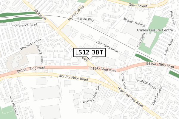
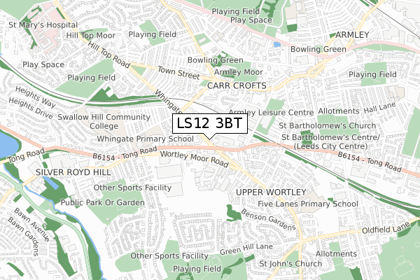
LS12 3BT maps


Source: OS Open Zoomstack (Ordnance Survey)
Licence: Open Government Licence (requires attribution)
Attribution: Contains OS data © Crown copyright and database right 2025
Source: Open Postcode GeoLicence: Open Government Licence (requires attribution)
Attribution: Contains OS data © Crown copyright and database right 2025; Contains Royal Mail data © Royal Mail copyright and database right 2025; Source: Office for National Statistics licensed under the Open Government Licence v.3.0
LS12 3BT geodata
| Easting | 426612 |
| Northing | 433134 |
| Latitude | 53.793858 |
| Longitude | -1.597506 |
Where is LS12 3BT?
| Country | England |
| Postcode District | LS12 |
Politics
| Ward | Armley |
|---|
| Constituency | Leeds West |
|---|
Transport
Nearest bus stops to LS12 3BT
| Whingate Tong Road (Whingate) | Armley | 26m |
| Tong Rd Upper Wortley Road (Tong Road) | Armley | 59m |
| Tong Rd Upper Wortley Road (Tong Road) | Armley | 125m |
| Upper Wortley Rd Tong Road (Upper Wortley Road) | Armley | 134m |
| Tong Rd Cross Lane (Tong Road) | Armley | 182m |
Nearest railway stations to LS12 3BT
| Burley Park Station | 2.4km |
| Headingley Station | 2.7km |
| Bramley (West Yorks) Station | 2.9km |
Broadband
Broadband access in LS12 3BT (2020 data)
| Percentage of properties with Next Generation Access | 100.0% |
| Percentage of properties with Superfast Broadband | 100.0% |
| Percentage of properties with Ultrafast Broadband | 100.0% |
| Percentage of properties with Full Fibre Broadband | 0.0% |
Superfast Broadband is between 30Mbps and 300Mbps
Ultrafast Broadband is > 300Mbps
Broadband limitations in LS12 3BT (2020 data)
| Percentage of properties unable to receive 2Mbps | 0.0% |
| Percentage of properties unable to receive 5Mbps | 0.0% |
| Percentage of properties unable to receive 10Mbps | 0.0% |
| Percentage of properties unable to receive 30Mbps | 0.0% |
Deprivation
88.5% of English postcodes are less deprived than
LS12 3BT:
Food Standards Agency
Three nearest food hygiene ratings to LS12 3BT (metres)
Trissur Pooram
RugRatz Play Gym
The Grind
➜ Get more ratings from the Food Standards Agency
Nearest post box to LS12 3BT
| | Last Collection | |
|---|
| Location | Mon-Fri | Sat | Distance |
|---|
| Wortley P.o. | 17:30 | 12:00 | 137m |
| Moor Top | 17:30 | 11:45 | 338m |
| Silver Royd Hill | 17:45 | 11:15 | 462m |
LS12 3BT ITL and LS12 3BT LAU
The below table lists the International Territorial Level (ITL) codes (formerly Nomenclature of Territorial Units for Statistics (NUTS) codes) and Local Administrative Units (LAU) codes for LS12 3BT:
| ITL 1 Code | Name |
|---|
| TLE | Yorkshire and The Humber |
| ITL 2 Code | Name |
|---|
| TLE4 | West Yorkshire |
| ITL 3 Code | Name |
|---|
| TLE42 | Leeds |
| LAU 1 Code | Name |
|---|
| E08000035 | Leeds |
LS12 3BT census areas
The below table lists the Census Output Area (OA), Lower Layer Super Output Area (LSOA), and Middle Layer Super Output Area (MSOA) for LS12 3BT:
| Code | Name |
|---|
| OA | E00056847 | |
|---|
| LSOA | E01032607 | Leeds 067J |
|---|
| MSOA | E02002396 | Leeds 067 |
|---|
Nearest postcodes to LS12 3BT


