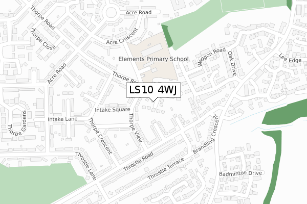
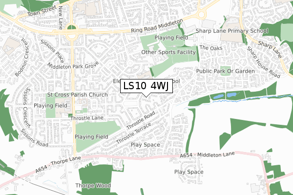
LS10 4WJ maps, stats, and open data
LS10 4WJ is located in the Middleton Park electoral ward, within the metropolitan district of Leeds and the English Parliamentary constituency of Leeds Central. The Sub Integrated Care Board (ICB) Location is NHS West Yorkshire ICB - 15F and the police force is West Yorkshire. This postcode has been in use since April 2019.
LS10 4WJ maps


Licence: Open Government Licence (requires attribution)
Attribution: Contains OS data © Crown copyright and database right 2025
Source: Open Postcode Geo
Licence: Open Government Licence (requires attribution)
Attribution: Contains OS data © Crown copyright and database right 2025; Contains Royal Mail data © Royal Mail copyright and database right 2025; Source: Office for National Statistics licensed under the Open Government Licence v.3.0
LS10 4WJ geodata
| Easting | 430553 |
| Northing | 427536 |
| Latitude | 53.743329 |
| Longitude | -1.538235 |
Where is LS10 4WJ?
| Country | England |
| Postcode District | LS10 |
Politics
| Ward | Middleton Park |
|---|---|
| Constituency | Leeds Central |
House Prices
Sales of detached houses in LS10 4WJ
8, BLENKINSOP AVENUE, LEEDS, LS10 4WJ 2019 15 MAR £179,995 |
Licence: Contains HM Land Registry data © Crown copyright and database right 2025. This data is licensed under the Open Government Licence v3.0.
Transport
Nearest bus stops to LS10 4WJ
| Thorpe View Intake Square (Thorpe View) | Middleton | 58m |
| Thorpe View | Middleton | 60m |
| Thorpe Rd Thorpe Cres (Thorpe Road) | Middleton | 183m |
| Towcester Ave Twentyman Walk (Towcester Avenue) | Middleton | 231m |
| Towcester Ave Twentyman Walk (Towcester Avenue) | Middleton | 246m |
Nearest railway stations to LS10 4WJ
| Morley Station | 3.6km |
| Outwood Station | 3.6km |
| Cottingley Station | 4.3km |
Broadband
Broadband access in LS10 4WJ (2020 data)
| Percentage of properties with Next Generation Access | 100.0% |
| Percentage of properties with Superfast Broadband | 100.0% |
| Percentage of properties with Ultrafast Broadband | 100.0% |
| Percentage of properties with Full Fibre Broadband | 100.0% |
Superfast Broadband is between 30Mbps and 300Mbps
Ultrafast Broadband is > 300Mbps
Broadband limitations in LS10 4WJ (2020 data)
| Percentage of properties unable to receive 2Mbps | 0.0% |
| Percentage of properties unable to receive 5Mbps | 0.0% |
| Percentage of properties unable to receive 10Mbps | 0.0% |
| Percentage of properties unable to receive 30Mbps | 0.0% |
Deprivation
96.8% of English postcodes are less deprived than LS10 4WJ:Food Standards Agency
Three nearest food hygiene ratings to LS10 4WJ (metres)


➜ Get more ratings from the Food Standards Agency
Nearest post box to LS10 4WJ
| Last Collection | |||
|---|---|---|---|
| Location | Mon-Fri | Sat | Distance |
| Throstle Road/Lane | 17:45 | 11:15 | 324m |
| Thorpe Street | 17:45 | 11:15 | 353m |
| Heritage Village | 17:45 | 11:15 | 415m |
LS10 4WJ ITL and LS10 4WJ LAU
The below table lists the International Territorial Level (ITL) codes (formerly Nomenclature of Territorial Units for Statistics (NUTS) codes) and Local Administrative Units (LAU) codes for LS10 4WJ:
| ITL 1 Code | Name |
|---|---|
| TLE | Yorkshire and The Humber |
| ITL 2 Code | Name |
| TLE4 | West Yorkshire |
| ITL 3 Code | Name |
| TLE42 | Leeds |
| LAU 1 Code | Name |
| E08000035 | Leeds |
LS10 4WJ census areas
The below table lists the Census Output Area (OA), Lower Layer Super Output Area (LSOA), and Middle Layer Super Output Area (MSOA) for LS10 4WJ:
| Code | Name | |
|---|---|---|
| OA | E00057951 | |
| LSOA | E01011492 | Leeds 101B |
| MSOA | E02002430 | Leeds 101 |
Nearest postcodes to LS10 4WJ
| LS10 4DT | Thorpe View | 79m |
| LS10 4HG | Throstle Square | 83m |
| LS10 4HF | Throstle Road | 112m |
| LS10 4EA | Thorpe Crescent | 186m |
| LS10 4GX | Waggon Road | 189m |
| LS10 4GR | Wild Flower Way | 204m |
| LS10 4DQ | Thorpe Road | 221m |
| LS10 4DX | Thorpe Crescent | 224m |
| LS10 4HJ | Throstle Terrace | 228m |
| LS10 4EB | Intake Mount | 233m |