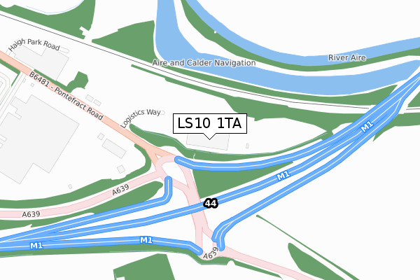
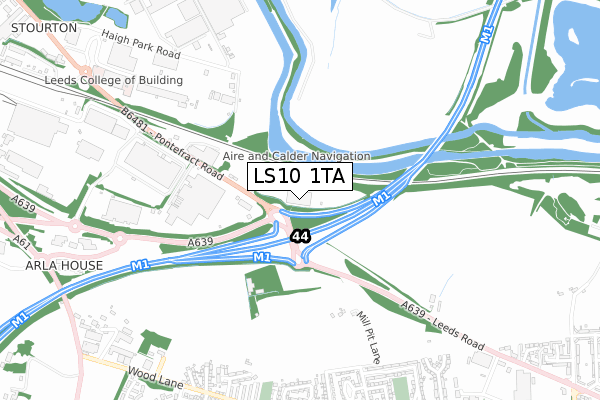
LS10 1TA is located in the Hunslet & Riverside electoral ward, within the metropolitan district of Leeds and the English Parliamentary constituency of Leeds Central. The Sub Integrated Care Board (ICB) Location is NHS West Yorkshire ICB - 15F and the police force is West Yorkshire. This postcode has been in use since July 2018.


GetTheData
Source: OS Open Zoomstack (Ordnance Survey)
Licence: Open Government Licence (requires attribution)
Attribution: Contains OS data © Crown copyright and database right 2025
Source: Open Postcode Geo
Licence: Open Government Licence (requires attribution)
Attribution: Contains OS data © Crown copyright and database right 2025; Contains Royal Mail data © Royal Mail copyright and database right 2025; Source: Office for National Statistics licensed under the Open Government Licence v.3.0
| Easting | 433657 |
| Northing | 429859 |
| Latitude | 53.764017 |
| Longitude | -1.490921 |
GetTheData
Source: Open Postcode Geo
Licence: Open Government Licence
| Country | England |
| Postcode District | LS10 |
➜ See where LS10 is on a map | |
GetTheData
Source: Land Registry Price Paid Data
Licence: Open Government Licence
| Ward | Hunslet & Riverside |
| Constituency | Leeds Central |
GetTheData
Source: ONS Postcode Database
Licence: Open Government Licence
| Leeds Road M1 Junction 44 (Pontefract Road) | Stourton | 311m |
| Leeds Road M1 Junction 44 (Pontefract Road) | Stourton | 377m |
| Pontefract Rd Valley Farm Road (Pontefract Road) | Stourton | 600m |
| Royal Mail (Pontefract Road) | Stourton | 608m |
| Wood Lane Haigh Ave (Wood Lane) | Rothwell | 878m |
| Woodlesford Station | 3.3km |
| Leeds Station | 5.2km |
| Cross Gates Station | 5.2km |
GetTheData
Source: NaPTAN
Licence: Open Government Licence
GetTheData
Source: ONS Postcode Database
Licence: Open Government Licence


➜ Get more ratings from the Food Standards Agency
GetTheData
Source: Food Standards Agency
Licence: FSA terms & conditions
| Last Collection | |||
|---|---|---|---|
| Location | Mon-Fri | Sat | Distance |
| Leeds Mail Centre Leodis House | 19:30 | 15:15 | 809m |
| Wood Lane P.o. | 18:15 | 12:00 | 950m |
| Spibey Lane/Wood Lane | 17:00 | 12:30 | 1,023m |
GetTheData
Source: Dracos
Licence: Creative Commons Attribution-ShareAlike
The below table lists the International Territorial Level (ITL) codes (formerly Nomenclature of Territorial Units for Statistics (NUTS) codes) and Local Administrative Units (LAU) codes for LS10 1TA:
| ITL 1 Code | Name |
|---|---|
| TLE | Yorkshire and The Humber |
| ITL 2 Code | Name |
| TLE4 | West Yorkshire |
| ITL 3 Code | Name |
| TLE42 | Leeds |
| LAU 1 Code | Name |
| E08000035 | Leeds |
GetTheData
Source: ONS Postcode Directory
Licence: Open Government Licence
The below table lists the Census Output Area (OA), Lower Layer Super Output Area (LSOA), and Middle Layer Super Output Area (MSOA) for LS10 1TA:
| Code | Name | |
|---|---|---|
| OA | E00058643 | |
| LSOA | E01011639 | Leeds 100E |
| MSOA | E02002429 | Leeds 100 |
GetTheData
Source: ONS Postcode Directory
Licence: Open Government Licence
| LS26 0NP | Mill Pit Lane | 744m |
| LS26 0PX | Haigh Gardens | 791m |
| LS26 0PP | Homelea | 800m |
| LS26 0NL | High Ridge Park | 808m |
| LS26 0WN | Water Gardens | 810m |
| LS26 0NR | Spibey Crescent | 818m |
| LS26 0PU | Haigh Terrace | 828m |
| LS26 0PN | Oakwood Drive | 829m |
| LS26 0PR | Haigh Avenue | 830m |
| LS26 0NN | High Ridge Park | 832m |
GetTheData
Source: Open Postcode Geo; Land Registry Price Paid Data
Licence: Open Government Licence