LN8 2BF maps, stats, and open data
LN8 2BF is located in the Waddingham and Spital electoral ward, within the local authority district of West Lindsey and the English Parliamentary constituency of Gainsborough. The Sub Integrated Care Board (ICB) Location is NHS Lincolnshire ICB - 71E and the police force is Lincolnshire. This postcode has been in use since July 2019.
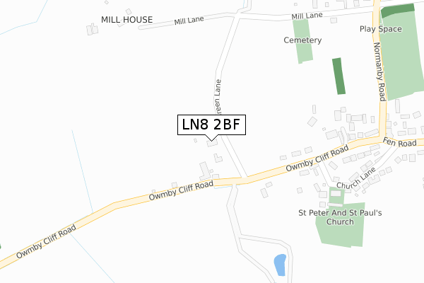
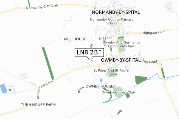
LN8 2BF maps


Licence: Open Government Licence (requires attribution)
Attribution: Contains OS data © Crown copyright and database right 2025
Source: Open Postcode Geo
Licence: Open Government Licence (requires attribution)
Attribution: Contains OS data © Crown copyright and database right 2025; Contains Royal Mail data © Royal Mail copyright and database right 2025; Source: Office for National Statistics licensed under the Open Government Licence v.3.0
LN8 2BF geodata
| Easting | 499737 |
| Northing | 387428 |
| Latitude | 53.374329 |
| Longitude | -0.502300 |
Where is LN8 2BF?
| Country | England |
| Postcode District | LN8 |
Politics
| Ward | Waddingham And Spital |
|---|---|
| Constituency | Gainsborough |
Transport
Nearest bus stops to LN8 2BF
| Surgery (Normanby Road) | Owmby By Spital | 393m |
| Surgery (Normanby Road) | Owmby By Spital | 402m |
| Demand Responsive Area | Owmby By Spital | 506m |
| The Paddock (Fen Road) | Owmby By Spital | 667m |
| The Paddock (Fen Road) | Owmby By Spital | 701m |
Broadband
Broadband access in LN8 2BF (2020 data)
| Percentage of properties with Next Generation Access | 100.0% |
| Percentage of properties with Superfast Broadband | 100.0% |
| Percentage of properties with Ultrafast Broadband | 0.0% |
| Percentage of properties with Full Fibre Broadband | 0.0% |
Superfast Broadband is between 30Mbps and 300Mbps
Ultrafast Broadband is > 300Mbps
Broadband limitations in LN8 2BF (2020 data)
| Percentage of properties unable to receive 2Mbps | 0.0% |
| Percentage of properties unable to receive 5Mbps | 0.0% |
| Percentage of properties unable to receive 10Mbps | 0.0% |
| Percentage of properties unable to receive 30Mbps | 0.0% |
Deprivation
41% of English postcodes are less deprived than LN8 2BF:Food Standards Agency
Three nearest food hygiene ratings to LN8 2BF (metres)


➜ Get more ratings from the Food Standards Agency
Nearest post box to LN8 2BF
| Last Collection | |||
|---|---|---|---|
| Location | Mon-Fri | Sat | Distance |
| Owmby | 16:15 | 11:00 | 433m |
| Normanby By Spital P.o. | 16:15 | 10:30 | 740m |
| Saxby | 16:15 | 11:30 | 1,508m |
LN8 2BF ITL and LN8 2BF LAU
The below table lists the International Territorial Level (ITL) codes (formerly Nomenclature of Territorial Units for Statistics (NUTS) codes) and Local Administrative Units (LAU) codes for LN8 2BF:
| ITL 1 Code | Name |
|---|---|
| TLF | East Midlands (England) |
| ITL 2 Code | Name |
| TLF3 | Lincolnshire |
| ITL 3 Code | Name |
| TLF30 | Lincolnshire CC |
| LAU 1 Code | Name |
| E07000142 | West Lindsey |
LN8 2BF census areas
The below table lists the Census Output Area (OA), Lower Layer Super Output Area (LSOA), and Middle Layer Super Output Area (MSOA) for LN8 2BF:
| Code | Name | |
|---|---|---|
| OA | E00134186 | |
| LSOA | E01026411 | West Lindsey 005D |
| MSOA | E02005496 | West Lindsey 005 |
Nearest postcodes to LN8 2BF
| LN8 2AB | Owmby Cliff Road | 138m |
| LN8 2HL | Owmby Cliff Road | 301m |
| LN8 2HN | Church Lane | 330m |
| LN8 2TZ | Foxcourt | 342m |
| LN8 2AA | 393m | |
| LN8 2HH | Normanby Road | 412m |
| LN8 2HB | Field Lane | 499m |
| LN8 2HA | Manor Cliff | 558m |
| LN8 2HP | Fen Road | 570m |
| LN8 2HD | Drakes Meadow | 617m |