LN5 9UN maps, stats, and open data
LN5 9UN is located in the Waddington Rural electoral ward, within the local authority district of North Kesteven and the English Parliamentary constituency of Lincoln. The Sub Integrated Care Board (ICB) Location is NHS Lincolnshire ICB - 71E and the police force is Lincolnshire. This postcode has been in use since September 2019.
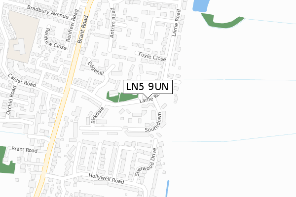
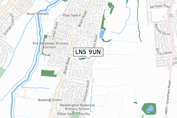
LN5 9UN maps


Licence: Open Government Licence (requires attribution)
Attribution: Contains OS data © Crown copyright and database right 2025
Source: Open Postcode Geo
Licence: Open Government Licence (requires attribution)
Attribution: Contains OS data © Crown copyright and database right 2025; Contains Royal Mail data © Royal Mail copyright and database right 2025; Source: Office for National Statistics licensed under the Open Government Licence v.3.0
LN5 9UN geodata
| Easting | 497774 |
| Northing | 363719 |
| Latitude | 53.161650 |
| Longitude | -0.539071 |
Where is LN5 9UN?
| Country | England |
| Postcode District | LN5 |
Politics
| Ward | Waddington Rural |
|---|---|
| Constituency | Lincoln |
House Prices
Sales of detached houses in LN5 9UN
2024 26 MAR £350,000 |
2023 31 MAY £317,500 |
2020 21 OCT £294,950 |
7, POPE CLOSE, WADDINGTON, LINCOLN, LN5 9UN 2020 25 SEP £294,950 |
5, POPE CLOSE, WADDINGTON, LINCOLN, LN5 9UN 2020 16 SEP £239,950 |
2020 1 SEP £300,000 |
2020 28 APR £299,950 |
1, POPE CLOSE, WADDINGTON, LINCOLN, LN5 9UN 2020 28 FEB £339,950 |
8, POPE CLOSE, WADDINGTON, LINCOLN, LN5 9UN 2020 28 FEB £337,950 |
3, POPE CLOSE, WADDINGTON, LINCOLN, LN5 9UN 2019 13 DEC £244,950 |
Licence: Contains HM Land Registry data © Crown copyright and database right 2025. This data is licensed under the Open Government Licence v3.0.
Transport
Nearest bus stops to LN5 9UN
| Millers Road (Grantham Road) | Waddington | 99m |
| Tinker's Lane (Grantham Road) | Waddington | 128m |
| Millers Road (Grantham Road) | Waddington | 138m |
| Tinker's Lane (Grantham Road) | Waddington | 139m |
| Windmill Close (Millers Road) | Waddington | 206m |
Nearest railway stations to LN5 9UN
| Hykeham Station | 5.5km |
Broadband
Broadband access in LN5 9UN (2020 data)
| Percentage of properties with Next Generation Access | 100.0% |
| Percentage of properties with Superfast Broadband | 100.0% |
| Percentage of properties with Ultrafast Broadband | 100.0% |
| Percentage of properties with Full Fibre Broadband | 100.0% |
Superfast Broadband is between 30Mbps and 300Mbps
Ultrafast Broadband is > 300Mbps
Broadband limitations in LN5 9UN (2020 data)
| Percentage of properties unable to receive 2Mbps | 0.0% |
| Percentage of properties unable to receive 5Mbps | 0.0% |
| Percentage of properties unable to receive 10Mbps | 0.0% |
| Percentage of properties unable to receive 30Mbps | 0.0% |
Deprivation
2% of English postcodes are less deprived than LN5 9UN:Food Standards Agency
Three nearest food hygiene ratings to LN5 9UN (metres)


➜ Get more ratings from the Food Standards Agency
Nearest post box to LN5 9UN
| Last Collection | |||
|---|---|---|---|
| Location | Mon-Fri | Sat | Distance |
| Tinkers Lane | 17:00 | 12:00 | 162m |
| Waddington P.o. | 17:00 | 12:00 | 524m |
| Waddington Heath | 17:00 | 12:15 | 639m |
LN5 9UN ITL and LN5 9UN LAU
The below table lists the International Territorial Level (ITL) codes (formerly Nomenclature of Territorial Units for Statistics (NUTS) codes) and Local Administrative Units (LAU) codes for LN5 9UN:
| ITL 1 Code | Name |
|---|---|
| TLF | East Midlands (England) |
| ITL 2 Code | Name |
| TLF3 | Lincolnshire |
| ITL 3 Code | Name |
| TLF30 | Lincolnshire CC |
| LAU 1 Code | Name |
| E07000139 | North Kesteven |
LN5 9UN census areas
The below table lists the Census Output Area (OA), Lower Layer Super Output Area (LSOA), and Middle Layer Super Output Area (MSOA) for LN5 9UN:
| Code | Name | |
|---|---|---|
| OA | E00169371 | |
| LSOA | E01026184 | North Kesteven 004A |
| MSOA | E02005456 | North Kesteven 004 |
Nearest postcodes to LN5 9UN
| LN5 9RZ | Grantham Road | 108m |
| LN5 9RX | Millers Road | 181m |
| LN5 9RY | Windmill Close | 248m |
| LN5 9SB | Granary Close | 268m |
| LN5 9RU | Tinkers Lane | 280m |
| LN5 9NW | Coupland Close | 314m |
| LN5 9NU | Grantham Road | 333m |
| LN5 9RR | St Michaels Close | 357m |
| LN5 9RT | Maltkiln Lane | 378m |
| LN5 9GU | Mayall Walk | 399m |