Property/Postcode Data Search:
LN4 3BU maps, stats, and open data
LN4 3BU is located in the Billinghay Rural electoral ward, within the local authority district of North Kesteven and the English Parliamentary constituency of Sleaford and North Hykeham. The Sub Integrated Care Board (ICB) Location is NHS Lincolnshire ICB - 71E and the police force is Lincolnshire. This postcode has been in use since November 2019.
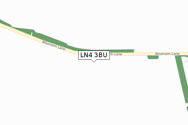
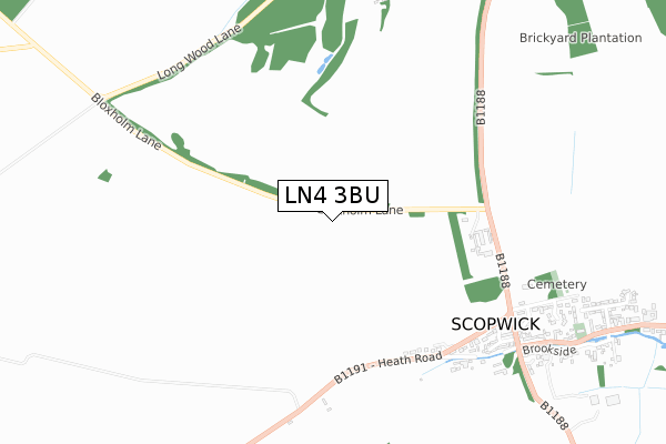
LN4 3BU maps


Source: OS Open Zoomstack (Ordnance Survey)
Licence: Open Government Licence (requires attribution)
Attribution: Contains OS data © Crown copyright and database right 2025
Source: Open Postcode Geo
Licence: Open Government Licence (requires attribution)
Attribution: Contains OS data © Crown copyright and database right 2025; Contains Royal Mail data © Royal Mail copyright and database right 2025; Source: Office for National Statistics licensed under the Open Government Licence v.3.0
Licence: Open Government Licence (requires attribution)
Attribution: Contains OS data © Crown copyright and database right 2025
Source: Open Postcode Geo
Licence: Open Government Licence (requires attribution)
Attribution: Contains OS data © Crown copyright and database right 2025; Contains Royal Mail data © Royal Mail copyright and database right 2025; Source: Office for National Statistics licensed under the Open Government Licence v.3.0
LN4 3BU geodata
| Easting | 512896 |
| Northing | 356444 |
| Latitude | 53.093298 |
| Longitude | -0.315551 |
Where is LN4 3BU?
| Country | England |
| Postcode District | LN4 |
Politics
| Ward | Billinghay Rural |
|---|---|
| Constituency | Sleaford And North Hykeham |
Transport
Nearest bus stops to LN4 3BU
| St Oswald's Church (High Street) | Walcott | 210m |
| Demand Responsive Area | Walcott | 218m |
| St Oswald's Church (High Street) | Walcott | 228m |
| Thorpe Tilney Drove (B1189) | Thorpe Tilney | 1,082m |
| Demand Responsive Area | Thorpe Tilney | 1,088m |
Deprivation
48.1% of English postcodes are less deprived than LN4 3BU:Food Standards Agency
Three nearest food hygiene ratings to LN4 3BU (metres)
Walcott County Primary School

School Lane
53m
The Plough

The Plough
233m
Walcott Village Hall Luncheon club

70 High street
233m
➜ Get more ratings from the Food Standards Agency
Nearest post box to LN4 3BU
| Last Collection | |||
|---|---|---|---|
| Location | Mon-Fri | Sat | Distance |
| Kirkby Green | 16:45 | 09:45 | 4,711m |
LN4 3BU ITL and LN4 3BU LAU
The below table lists the International Territorial Level (ITL) codes (formerly Nomenclature of Territorial Units for Statistics (NUTS) codes) and Local Administrative Units (LAU) codes for LN4 3BU:
| ITL 1 Code | Name |
|---|---|
| TLF | East Midlands (England) |
| ITL 2 Code | Name |
| TLF3 | Lincolnshire |
| ITL 3 Code | Name |
| TLF30 | Lincolnshire CC |
| LAU 1 Code | Name |
| E07000139 | North Kesteven |
LN4 3BU census areas
The below table lists the Census Output Area (OA), Lower Layer Super Output Area (LSOA), and Middle Layer Super Output Area (MSOA) for LN4 3BU:
| Code | Name | |
|---|---|---|
| OA | E00133092 | |
| LSOA | E01026210 | North Kesteven 007C |
| MSOA | E02005459 | North Kesteven 007 |
Nearest postcodes to LN4 3BU
| LN4 3TE | Dene Lane | 46m |
| LN4 3SY | Pinfold Lane | 134m |
| LN4 3SS | Butt Lane | 138m |
| LN4 3SR | The Smoot | 148m |
| LN4 3SU | Grange Street | 173m |
| LN4 3ST | West End | 203m |
| LN4 3SW | High Street | 233m |
| LN4 3SN | High Street | 365m |
| LN4 3SZ | The Drift | 393m |
| LN4 3TA | East View | 397m |