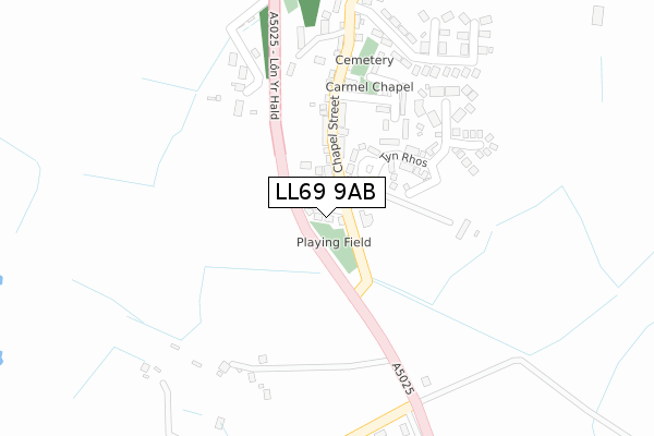
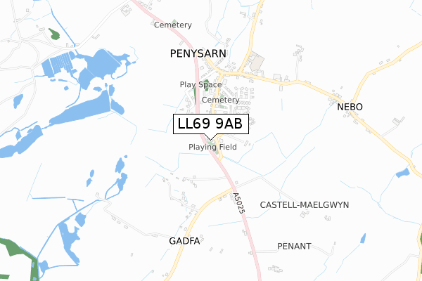
LL69 9AB is located in the Twrcelyn electoral ward, within the unitary authority of Isle of Anglesey and the Welsh Parliamentary constituency of Ynys Môn. The Local Health Board is Betsi Cadwaladr University and the police force is North Wales. This postcode has been in use since April 2019.


GetTheData
Source: OS Open Zoomstack (Ordnance Survey)
Licence: Open Government Licence (requires attribution)
Attribution: Contains OS data © Crown copyright and database right 2025
Source: Open Postcode Geo
Licence: Open Government Licence (requires attribution)
Attribution: Contains OS data © Crown copyright and database right 2025; Contains Royal Mail data © Royal Mail copyright and database right 2025; Source: Office for National Statistics licensed under the Open Government Licence v.3.0
| Easting | 245961 |
| Northing | 390187 |
| Latitude | 53.386014 |
| Longitude | -4.317602 |
GetTheData
Source: Open Postcode Geo
Licence: Open Government Licence
| Country | Wales |
| Postcode District | LL69 |
➜ See where LL69 is on a map ➜ Where is Penysarn? | |
GetTheData
Source: Land Registry Price Paid Data
Licence: Open Government Licence
| Ward | Twrcelyn |
| Constituency | Ynys Môn |
GetTheData
Source: ONS Postcode Database
Licence: Open Government Licence
| Y Bedol (Chapel Street) | Penysarn | 46m |
| Y Bedol (Chapel Street) | Penysarn | 50m |
| Dinorben Terrace (Chapel Street) | Penysarn | 134m |
| Dinorben Terrace (Chapel Street) | Penysarn | 135m |
| Crossroads (A5025) | Gadfa | 266m |
GetTheData
Source: NaPTAN
Licence: Open Government Licence
GetTheData
Source: ONS Postcode Database
Licence: Open Government Licence


➜ Get more ratings from the Food Standards Agency
GetTheData
Source: Food Standards Agency
Licence: FSA terms & conditions
| Last Collection | |||
|---|---|---|---|
| Location | Mon-Fri | Sat | Distance |
| Erw | 11:00 | 12:00 | 342m |
| Penysarn Post Office | 16:00 | 11:15 | 412m |
| Cerrigman | 16:17 | 12:00 | 1,264m |
GetTheData
Source: Dracos
Licence: Creative Commons Attribution-ShareAlike
The below table lists the International Territorial Level (ITL) codes (formerly Nomenclature of Territorial Units for Statistics (NUTS) codes) and Local Administrative Units (LAU) codes for LL69 9AB:
| ITL 1 Code | Name |
|---|---|
| TLL | Wales |
| ITL 2 Code | Name |
| TLL1 | West Wales and The Valleys |
| ITL 3 Code | Name |
| TLL11 | Isle of Anglesey |
| LAU 1 Code | Name |
| W06000001 | Isle of Anglesey |
GetTheData
Source: ONS Postcode Directory
Licence: Open Government Licence
The below table lists the Census Output Area (OA), Lower Layer Super Output Area (LSOA), and Middle Layer Super Output Area (MSOA) for LL69 9AB:
| Code | Name | |
|---|---|---|
| OA | W00000101 | |
| LSOA | W01000021 | Isle of Anglesey 002C |
| MSOA | W02000002 | Isle of Anglesey 002 |
GetTheData
Source: ONS Postcode Directory
Licence: Open Government Licence
| LL69 9YS | 86m | |
| LL69 9YR | 101m | |
| LL69 9YW | Bryntirion | 152m |
| LL69 9YP | Chapel Street | 170m |
| LL69 9BZ | Tyn Rhos Estate | 193m |
| LL69 9YE | 218m | |
| LL69 9YL | 252m | |
| LL69 9YU | 270m | |
| LL69 9YH | 285m | |
| LL69 9YG | Lletroed Fawr | 290m |
GetTheData
Source: Open Postcode Geo; Land Registry Price Paid Data
Licence: Open Government Licence