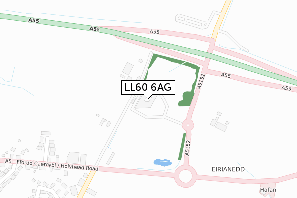
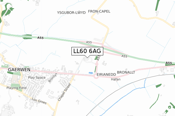
LL60 6AG is located in the Bodowyr electoral ward, within the unitary authority of Isle of Anglesey and the Welsh Parliamentary constituency of Ynys Môn. The Local Health Board is Betsi Cadwaladr University and the police force is North Wales. This postcode has been in use since May 2018.


GetTheData
Source: OS Open Zoomstack (Ordnance Survey)
Licence: Open Government Licence (requires attribution)
Attribution: Contains OS data © Crown copyright and database right 2025
Source: Open Postcode Geo
Licence: Open Government Licence (requires attribution)
Attribution: Contains OS data © Crown copyright and database right 2025; Contains Royal Mail data © Royal Mail copyright and database right 2025; Source: Office for National Statistics licensed under the Open Government Licence v.3.0
| Easting | 248998 |
| Northing | 372124 |
| Latitude | 53.224655 |
| Longitude | -4.263375 |
GetTheData
Source: Open Postcode Geo
Licence: Open Government Licence
| Country | Wales |
| Postcode District | LL60 |
➜ See where LL60 is on a map ➜ Where is Gaerwen? | |
GetTheData
Source: Land Registry Price Paid Data
Licence: Open Government Licence
| Ward | Bodowyr |
| Constituency | Ynys Môn |
GetTheData
Source: ONS Postcode Database
Licence: Open Government Licence
| Tafarn Newborough (Holyhead Road) | Gaerwen | 276m |
| Tafarn Newborough (Chapel Street) | Gaerwen | 320m |
| Tafarn Newborough (Holyhead Road) | Gaerwen | 322m |
| Police Station (Holyhead Road) | Gaerwen | 574m |
| Police Station (Holyhead Road) | Gaerwen | 629m |
| Llanfairpwll Station | 3.6km |
GetTheData
Source: NaPTAN
Licence: Open Government Licence
GetTheData
Source: ONS Postcode Database
Licence: Open Government Licence


➜ Get more ratings from the Food Standards Agency
GetTheData
Source: Food Standards Agency
Licence: FSA terms & conditions
| Last Collection | |||
|---|---|---|---|
| Location | Mon-Fri | Sat | Distance |
| Holland Arms | 10:00 | 08:00 | 1,958m |
| Star | 12:15 | 10:30 | 2,044m |
| Pringle | 16:30 | 10:00 | 3,554m |
GetTheData
Source: Dracos
Licence: Creative Commons Attribution-ShareAlike
The below table lists the International Territorial Level (ITL) codes (formerly Nomenclature of Territorial Units for Statistics (NUTS) codes) and Local Administrative Units (LAU) codes for LL60 6AG:
| ITL 1 Code | Name |
|---|---|
| TLL | Wales |
| ITL 2 Code | Name |
| TLL1 | West Wales and The Valleys |
| ITL 3 Code | Name |
| TLL11 | Isle of Anglesey |
| LAU 1 Code | Name |
| W06000001 | Isle of Anglesey |
GetTheData
Source: ONS Postcode Directory
Licence: Open Government Licence
The below table lists the Census Output Area (OA), Lower Layer Super Output Area (LSOA), and Middle Layer Super Output Area (MSOA) for LL60 6AG:
| Code | Name | |
|---|---|---|
| OA | W00000121 | |
| LSOA | W01000025 | Isle of Anglesey 009B |
| MSOA | W02000009 | Isle of Anglesey 009 |
GetTheData
Source: ONS Postcode Directory
Licence: Open Government Licence
| LL60 6AR | Maes Hyfryd | 131m |
| LL60 6LS | Swn Yr Engan | 360m |
| LL60 6BW | 402m | |
| LL60 6HL | Tyn Rhos Estate | 471m |
| LL60 6BP | America Street | 473m |
| LL60 6BL | Hirael Street | 485m |
| LL60 6DW | Chapel Street | 500m |
| LL60 6JN | Bronllys | 572m |
| LL60 6BS | Bangor Street | 610m |
| LL60 6DN | Chapel Terrace | 699m |
GetTheData
Source: Open Postcode Geo; Land Registry Price Paid Data
Licence: Open Government Licence