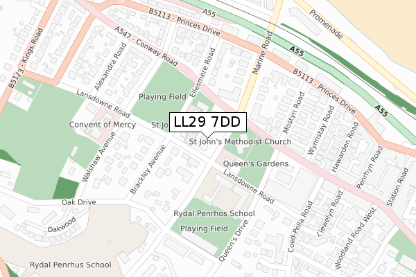
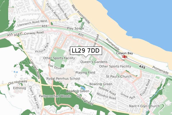
LL29 7DD is located in the Rhiw electoral ward, within the unitary authority of Conwy and the Welsh Parliamentary constituency of Clwyd West. The Local Health Board is Betsi Cadwaladr University and the police force is North Wales. This postcode has been in use since November 2018.


GetTheData
Source: OS Open Zoomstack (Ordnance Survey)
Licence: Open Government Licence (requires attribution)
Attribution: Contains OS data © Crown copyright and database right 2025
Source: Open Postcode Geo
Licence: Open Government Licence (requires attribution)
Attribution: Contains OS data © Crown copyright and database right 2025; Contains Royal Mail data © Royal Mail copyright and database right 2025; Source: Office for National Statistics licensed under the Open Government Licence v.3.0
| Easting | 284534 |
| Northing | 379128 |
| Latitude | 53.296502 |
| Longitude | -3.733918 |
GetTheData
Source: Open Postcode Geo
Licence: Open Government Licence
| Country | Wales |
| Postcode District | LL29 |
➜ See where LL29 is on a map ➜ Where is Colwyn Bay? | |
GetTheData
Source: Land Registry Price Paid Data
Licence: Open Government Licence
| Ward | Rhiw |
| Constituency | Clwyd West |
GetTheData
Source: ONS Postcode Database
Licence: Open Government Licence
| Pwllycrochan Avenue (Conway Road) | Colwyn Bay | 84m |
| Rydal School (Lansdowne Road) | Colwyn Bay | 111m |
| Rysseldene Surgery (Conway Road) | Colwyn Bay | 183m |
| Kwiks (Conway Road) | Colwyn Bay | 206m |
| Kwiks (Conway Road) | Colwyn Bay | 256m |
| Colwyn Bay Station | 0.6km |
| Glan Conwy Station | 5.3km |
GetTheData
Source: NaPTAN
Licence: Open Government Licence
| Percentage of properties with Next Generation Access | 100.0% |
| Percentage of properties with Superfast Broadband | 100.0% |
| Percentage of properties with Ultrafast Broadband | 0.0% |
| Percentage of properties with Full Fibre Broadband | 0.0% |
Superfast Broadband is between 30Mbps and 300Mbps
Ultrafast Broadband is > 300Mbps
| Percentage of properties unable to receive 2Mbps | 0.0% |
| Percentage of properties unable to receive 5Mbps | 0.0% |
| Percentage of properties unable to receive 10Mbps | 0.0% |
| Percentage of properties unable to receive 30Mbps | 0.0% |
GetTheData
Source: Ofcom
Licence: Ofcom Terms of Use (requires attribution)
GetTheData
Source: ONS Postcode Database
Licence: Open Government Licence


➜ Get more ratings from the Food Standards Agency
GetTheData
Source: Food Standards Agency
Licence: FSA terms & conditions
| Last Collection | |||
|---|---|---|---|
| Location | Mon-Fri | Sat | Distance |
| Conwy Road Post Office | 17:00 | 12:00 | 465m |
| Station Road Post Office | 17:15 | 12:00 | 488m |
| Station Road | 17:15 | 11:30 | 488m |
GetTheData
Source: Dracos
Licence: Creative Commons Attribution-ShareAlike
The below table lists the International Territorial Level (ITL) codes (formerly Nomenclature of Territorial Units for Statistics (NUTS) codes) and Local Administrative Units (LAU) codes for LL29 7DD:
| ITL 1 Code | Name |
|---|---|
| TLL | Wales |
| ITL 2 Code | Name |
| TLL1 | West Wales and The Valleys |
| ITL 3 Code | Name |
| TLL13 | Conwy and Denbighshire |
| LAU 1 Code | Name |
| W06000003 | Conwy |
GetTheData
Source: ONS Postcode Directory
Licence: Open Government Licence
The below table lists the Census Output Area (OA), Lower Layer Super Output Area (LSOA), and Middle Layer Super Output Area (MSOA) for LL29 7DD:
| Code | Name | |
|---|---|---|
| OA | W00000968 | |
| LSOA | W01000182 | Conwy 007D |
| MSOA | W02000033 | Conwy 007 |
GetTheData
Source: ONS Postcode Directory
Licence: Open Government Licence
| LL29 7BU | Pwllycrochan Avenue | 24m |
| LL29 7DA | Pwllycrochan Avenue | 80m |
| LL29 7LE | Conway Road | 115m |
| LL29 7HR | Conway Road | 128m |
| LL29 7UU | Brackley Avenue | 159m |
| LL29 8PH | Marine Road | 182m |
| LL29 7LD | Conway Road | 203m |
| LL29 7AW | Conway Road | 207m |
| LL29 8RP | Ellesmere Road | 214m |
| LL29 7UY | Walshaw Avenue | 219m |
GetTheData
Source: Open Postcode Geo; Land Registry Price Paid Data
Licence: Open Government Licence