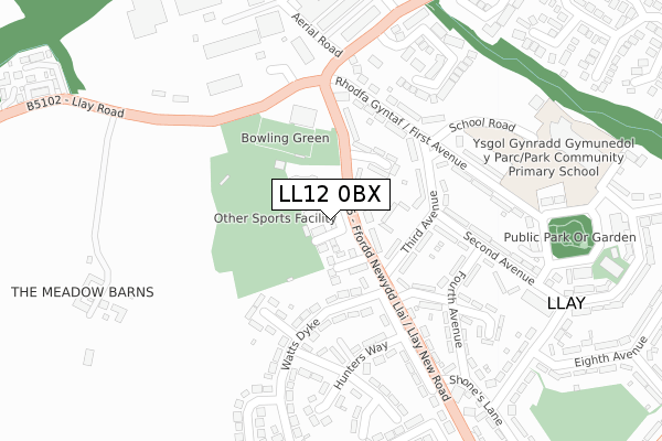
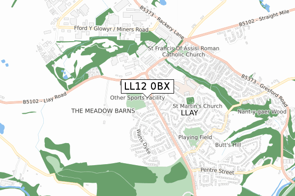
LL12 0BX is located in the Llay electoral ward, within the unitary authority of Wrexham and the Welsh Parliamentary constituency of Wrexham. The Local Health Board is Betsi Cadwaladr University and the police force is North Wales. This postcode has been in use since October 2019.


GetTheData
Source: OS Open Zoomstack (Ordnance Survey)
Licence: Open Government Licence (requires attribution)
Attribution: Contains OS data © Crown copyright and database right 2025
Source: Open Postcode Geo
Licence: Open Government Licence (requires attribution)
Attribution: Contains OS data © Crown copyright and database right 2025; Contains Royal Mail data © Royal Mail copyright and database right 2025; Source: Office for National Statistics licensed under the Open Government Licence v.3.0
| Easting | 332912 |
| Northing | 355837 |
| Latitude | 53.095519 |
| Longitude | -3.003317 |
GetTheData
Source: Open Postcode Geo
Licence: Open Government Licence
| Country | Wales |
| Postcode District | LL12 |
➜ See where LL12 is on a map ➜ Where is Llay? | |
GetTheData
Source: Land Registry Price Paid Data
Licence: Open Government Licence
| Ward | Llay |
| Constituency | Wrexham |
GetTheData
Source: ONS Postcode Database
Licence: Open Government Licence
2025 19 FEB £292,000 |
2022 2 SEP £300,000 |
2022 21 JAN £240,000 |
2021 22 APR £258,000 |
15, MOTTRAM GARDENS, LLAY, WREXHAM, LL12 0BX 2021 5 FEB £269,950 |
1, MOTTRAM GARDENS, LLAY, WREXHAM, LL12 0BX 2020 30 OCT £269,950 |
19, MOTTRAM GARDENS, LLAY, WREXHAM, LL12 0BX 2020 3 SEP £274,950 |
16, MOTTRAM GARDENS, LLAY, WREXHAM, LL12 0BX 2020 28 AUG £257,950 |
12, MOTTRAM GARDENS, LLAY, WREXHAM, LL12 0BX 2020 31 JUL £254,950 |
18, MOTTRAM GARDENS, LLAY, WREXHAM, LL12 0BX 2020 26 JUN £232,950 |
GetTheData
Source: HM Land Registry Price Paid Data
Licence: Contains HM Land Registry data © Crown copyright and database right 2025. This data is licensed under the Open Government Licence v3.0.
| Plas Mehefin (Llay New Road) | Llay | 72m |
| Plas Mehefin (Llay New Road) | Llay | 95m |
| Watts Dyke Top (Wats Dyke) | Llay | 152m |
| Watts Dyke Top (Wats Dyke) | Llay | 159m |
| Miners` Institute (First Avenue) | Llay | 191m |
| Cefn-y-Bedd Station | 1.9km |
| Caergwrle Station | 2.4km |
| Gwersyllt Station | 2.7km |
GetTheData
Source: NaPTAN
Licence: Open Government Licence
GetTheData
Source: ONS Postcode Database
Licence: Open Government Licence


➜ Get more ratings from the Food Standards Agency
GetTheData
Source: Food Standards Agency
Licence: FSA terms & conditions
| Last Collection | |||
|---|---|---|---|
| Location | Mon-Fri | Sat | Distance |
| Wats Dyke | 16:45 | 09:30 | 158m |
| Llay Post Office | 16:30 | 10:45 | 434m |
| Ninth Avenue | 12:00 | 11:15 | 540m |
GetTheData
Source: Dracos
Licence: Creative Commons Attribution-ShareAlike
The below table lists the International Territorial Level (ITL) codes (formerly Nomenclature of Territorial Units for Statistics (NUTS) codes) and Local Administrative Units (LAU) codes for LL12 0BX:
| ITL 1 Code | Name |
|---|---|
| TLL | Wales |
| ITL 2 Code | Name |
| TLL2 | East Wales |
| ITL 3 Code | Name |
| TLL23 | Flintshire and Wrexham |
| LAU 1 Code | Name |
| W06000006 | Wrexham |
GetTheData
Source: ONS Postcode Directory
Licence: Open Government Licence
The below table lists the Census Output Area (OA), Lower Layer Super Output Area (LSOA), and Middle Layer Super Output Area (MSOA) for LL12 0BX:
| Code | Name | |
|---|---|---|
| OA | W00002078 | |
| LSOA | W01000391 | Wrexham 003D |
| MSOA | W02000080 | Wrexham 003 |
GetTheData
Source: ONS Postcode Directory
Licence: Open Government Licence
| LL12 0TE | Llay New Road | 73m |
| LL12 0PH | Drill Hall Court | 107m |
| LL12 0TF | Llay Place Avenue | 137m |
| LL12 0PY | Watts Dyke | 167m |
| LL12 0TD | Third Avenue | 173m |
| LL12 0RB | Manor Close | 174m |
| LL12 0TW | First Avenue | 177m |
| LL12 0TA | Llay Hall Avenue | 206m |
| LL12 0RD | Llys Owain | 213m |
| LL12 0RE | Hunters Way | 214m |
GetTheData
Source: Open Postcode Geo; Land Registry Price Paid Data
Licence: Open Government Licence