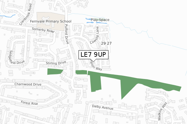
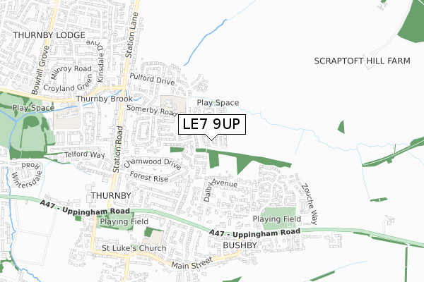
LE7 9UP is located in the Thurnby & Houghton electoral ward, within the local authority district of Harborough and the English Parliamentary constituency of Rutland and Melton. The Sub Integrated Care Board (ICB) Location is NHS Leicester, Leicestershire and Rutland ICB - 03W and the police force is Leicestershire. This postcode has been in use since October 2017.


GetTheData
Source: OS Open Zoomstack (Ordnance Survey)
Licence: Open Government Licence (requires attribution)
Attribution: Contains OS data © Crown copyright and database right 2025
Source: Open Postcode Geo
Licence: Open Government Licence (requires attribution)
Attribution: Contains OS data © Crown copyright and database right 2025; Contains Royal Mail data © Royal Mail copyright and database right 2025; Source: Office for National Statistics licensed under the Open Government Licence v.3.0
| Easting | 465169 |
| Northing | 304572 |
| Latitude | 52.635013 |
| Longitude | -1.038472 |
GetTheData
Source: Open Postcode Geo
Licence: Open Government Licence
| Country | England |
| Postcode District | LE7 |
➜ See where LE7 is on a map | |
GetTheData
Source: Land Registry Price Paid Data
Licence: Open Government Licence
| Ward | Thurnby & Houghton |
| Constituency | Rutland And Melton |
GetTheData
Source: ONS Postcode Database
Licence: Open Government Licence
| Pulford Drive (Stirling Drive) | Thurnby | 138m |
| Pulford Drive (Stirling Drive) | Thurnby | 170m |
| Primary School (Somerby Road) | Thurnby | 238m |
| School (Pulford Drive) | Thurnby | 250m |
| School (Pulford Drive) | Thurnby | 261m |
GetTheData
Source: NaPTAN
Licence: Open Government Licence
| Percentage of properties with Next Generation Access | 100.0% |
| Percentage of properties with Superfast Broadband | 100.0% |
| Percentage of properties with Ultrafast Broadband | 0.0% |
| Percentage of properties with Full Fibre Broadband | 0.0% |
Superfast Broadband is between 30Mbps and 300Mbps
Ultrafast Broadband is > 300Mbps
| Median download speed | 7.8Mbps |
| Average download speed | 7.4Mbps |
| Maximum download speed | 8.76Mbps |
| Median upload speed | 0.8Mbps |
| Average upload speed | 0.9Mbps |
| Maximum upload speed | 1.21Mbps |
| Percentage of properties unable to receive 2Mbps | 0.0% |
| Percentage of properties unable to receive 5Mbps | 0.0% |
| Percentage of properties unable to receive 10Mbps | 0.0% |
| Percentage of properties unable to receive 30Mbps | 0.0% |
GetTheData
Source: Ofcom
Licence: Ofcom Terms of Use (requires attribution)
GetTheData
Source: ONS Postcode Database
Licence: Open Government Licence


➜ Get more ratings from the Food Standards Agency
GetTheData
Source: Food Standards Agency
Licence: FSA terms & conditions
| Last Collection | |||
|---|---|---|---|
| Location | Mon-Fri | Sat | Distance |
| Main Street | 17:15 | 12:00 | 727m |
| The Square | 17:30 | 12:00 | 875m |
| Main Street | 16:45 | 09:30 | 1,324m |
GetTheData
Source: Dracos
Licence: Creative Commons Attribution-ShareAlike
The below table lists the International Territorial Level (ITL) codes (formerly Nomenclature of Territorial Units for Statistics (NUTS) codes) and Local Administrative Units (LAU) codes for LE7 9UP:
| ITL 1 Code | Name |
|---|---|
| TLF | East Midlands (England) |
| ITL 2 Code | Name |
| TLF2 | Leicestershire, Rutland and Northamptonshire |
| ITL 3 Code | Name |
| TLF22 | Leicestershire CC and Rutland |
| LAU 1 Code | Name |
| E07000131 | Harborough |
GetTheData
Source: ONS Postcode Directory
Licence: Open Government Licence
The below table lists the Census Output Area (OA), Lower Layer Super Output Area (LSOA), and Middle Layer Super Output Area (MSOA) for LE7 9UP:
| Code | Name | |
|---|---|---|
| OA | E00130981 | |
| LSOA | E01025813 | Harborough 011B |
| MSOA | E02006816 | Harborough 011 |
GetTheData
Source: ONS Postcode Directory
Licence: Open Government Licence
| LE7 9TX | Foxglove Avenue | 108m |
| LE7 9US | Marefield Close | 113m |
| LE7 9UQ | Pulford Drive | 123m |
| LE7 9QU | Leas Close | 180m |
| LE7 9UU | Yaxley Close | 187m |
| LE7 9UT | Ivatt Close | 210m |
| LE7 9RD | Dalby Avenue | 232m |
| LE7 9QT | Stirling Drive | 239m |
| LE7 9QW | Gresley Close | 279m |
| LE7 9QP | Sturrock Close | 313m |
GetTheData
Source: Open Postcode Geo; Land Registry Price Paid Data
Licence: Open Government Licence