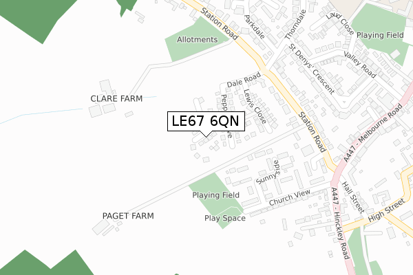
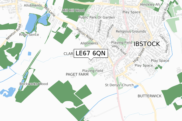
LE67 6QN is located in the Ibstock West electoral ward, within the local authority district of North West Leicestershire and the English Parliamentary constituency of North West Leicestershire. The Sub Integrated Care Board (ICB) Location is NHS Leicester, Leicestershire and Rutland ICB - 04V and the police force is Leicestershire. This postcode has been in use since September 2019.


GetTheData
Source: OS Open Zoomstack (Ordnance Survey)
Licence: Open Government Licence (requires attribution)
Attribution: Contains OS data © Crown copyright and database right 2025
Source: Open Postcode Geo
Licence: Open Government Licence (requires attribution)
Attribution: Contains OS data © Crown copyright and database right 2025; Contains Royal Mail data © Royal Mail copyright and database right 2025; Source: Office for National Statistics licensed under the Open Government Licence v.3.0
| Easting | 440045 |
| Northing | 309917 |
| Latitude | 52.685490 |
| Longitude | -1.409035 |
GetTheData
Source: Open Postcode Geo
Licence: Open Government Licence
| Country | England |
| Postcode District | LE67 |
➜ See where LE67 is on a map ➜ Where is Ibstock? | |
GetTheData
Source: Land Registry Price Paid Data
Licence: Open Government Licence
| Ward | Ibstock West |
| Constituency | North West Leicestershire |
GetTheData
Source: ONS Postcode Database
Licence: Open Government Licence
16, SATCHWELL PLACE, IBSTOCK, LE67 6QN 2023 20 JUL £455,000 |
16, SATCHWELL PLACE, IBSTOCK, LE67 6QN 2021 28 MAY £447,995 |
14, SATCHWELL PLACE, IBSTOCK, LE67 6QN 2021 26 FEB £242,000 |
4, SATCHWELL PLACE, IBSTOCK, LE67 6QN 2020 25 SEP £265,000 |
21, SATCHWELL PLACE, IBSTOCK, LE67 6QN 2020 21 AUG £376,995 |
19, SATCHWELL PLACE, IBSTOCK, LE67 6QN 2020 31 JUL £389,995 |
2, SATCHWELL PLACE, IBSTOCK, LE67 6QN 2019 30 AUG £249,995 |
GetTheData
Source: HM Land Registry Price Paid Data
Licence: Contains HM Land Registry data © Crown copyright and database right 2025. This data is licensed under the Open Government Licence v3.0.
| Thorndale (Station Road) | Ibstock | 229m |
| Thorndale (Station Road) | Ibstock | 247m |
| Melbourne Road (Station Road) | Ibstock | 281m |
| St Denys Crescent (Thorndale) | Ibstock | 292m |
| Melbourne Road (Station Road) | Ibstock | 299m |
GetTheData
Source: NaPTAN
Licence: Open Government Licence
GetTheData
Source: ONS Postcode Database
Licence: Open Government Licence


➜ Get more ratings from the Food Standards Agency
GetTheData
Source: Food Standards Agency
Licence: FSA terms & conditions
| Last Collection | |||
|---|---|---|---|
| Location | Mon-Fri | Sat | Distance |
| Ashburton Road | 17:15 | 12:15 | 3,526m |
| Central Road/Fairfield Road | 17:15 | 12:00 | 3,680m |
| Central Road | 17:00 | 12:00 | 3,898m |
GetTheData
Source: Dracos
Licence: Creative Commons Attribution-ShareAlike
The below table lists the International Territorial Level (ITL) codes (formerly Nomenclature of Territorial Units for Statistics (NUTS) codes) and Local Administrative Units (LAU) codes for LE67 6QN:
| ITL 1 Code | Name |
|---|---|
| TLF | East Midlands (England) |
| ITL 2 Code | Name |
| TLF2 | Leicestershire, Rutland and Northamptonshire |
| ITL 3 Code | Name |
| TLF22 | Leicestershire CC and Rutland |
| LAU 1 Code | Name |
| E07000134 | North West Leicestershire |
GetTheData
Source: ONS Postcode Directory
Licence: Open Government Licence
The below table lists the Census Output Area (OA), Lower Layer Super Output Area (LSOA), and Middle Layer Super Output Area (MSOA) for LE67 6QN:
| Code | Name | |
|---|---|---|
| OA | E00131637 | |
| LSOA | E01025941 | North West Leicestershire 013D |
| MSOA | E02005409 | North West Leicestershire 013 |
GetTheData
Source: ONS Postcode Directory
Licence: Open Government Licence
| LE67 6JH | Sunnyside | 160m |
| LE67 6JA | Church View | 216m |
| LE67 6JL | Station Road | 282m |
| LE67 6JB | Hawthorne Drive | 311m |
| LE67 6JJ | Station Road | 316m |
| LE67 6NX | St Denys Crescent | 341m |
| LE67 6PB | Hinckley Road | 345m |
| LE67 6PH | Ash Dale | 360m |
| LE67 6JD | Hall Street | 384m |
| LE67 6JS | Melbourne Road | 390m |
GetTheData
Source: Open Postcode Geo; Land Registry Price Paid Data
Licence: Open Government Licence