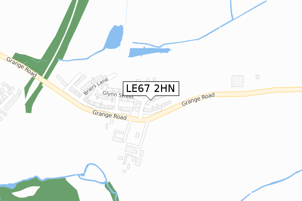
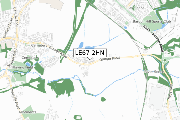
LE67 2HN maps, stats, and open data
LE67 2HN is located in the Hugglescote St John's electoral ward, within the local authority district of North West Leicestershire and the English Parliamentary constituency of North West Leicestershire. The Sub Integrated Care Board (ICB) Location is NHS Leicester, Leicestershire and Rutland ICB - 04V and the police force is Leicestershire. This postcode has been in use since March 2019.
LE67 2HN maps


Licence: Open Government Licence (requires attribution)
Attribution: Contains OS data © Crown copyright and database right 2025
Source: Open Postcode Geo
Licence: Open Government Licence (requires attribution)
Attribution: Contains OS data © Crown copyright and database right 2025; Contains Royal Mail data © Royal Mail copyright and database right 2025; Source: Office for National Statistics licensed under the Open Government Licence v.3.0
LE67 2HN geodata
| Easting | 443722 |
| Northing | 312597 |
| Latitude | 52.709297 |
| Longitude | -1.354288 |
Where is LE67 2HN?
| Country | England |
| Postcode District | LE67 |
Politics
| Ward | Hugglescote St John's |
|---|---|
| Constituency | North West Leicestershire |
House Prices
Sales of detached houses in LE67 2HN
2025 25 JUL £385,000 |
2024 3 MAY £550,000 |
2023 6 OCT £332,500 |
53, USHERWOOD WAY, HUGGLESCOTE, COALVILLE, LE67 2HN 2023 9 JUN £359,995 |
72, USHERWOOD WAY, HUGGLESCOTE, COALVILLE, LE67 2HN 2023 26 MAY £319,995 |
70, USHERWOOD WAY, HUGGLESCOTE, COALVILLE, LE67 2HN 2023 19 MAY £329,995 |
80, USHERWOOD WAY, HUGGLESCOTE, COALVILLE, LE67 2HN 2023 19 MAY £319,995 |
74, USHERWOOD WAY, HUGGLESCOTE, COALVILLE, LE67 2HN 2023 28 APR £479,995 |
55, USHERWOOD WAY, HUGGLESCOTE, COALVILLE, LE67 2HN 2023 28 APR £504,995 |
82, USHERWOOD WAY, HUGGLESCOTE, COALVILLE, LE67 2HN 2023 28 APR £329,995 |
Licence: Contains HM Land Registry data © Crown copyright and database right 2025. This data is licensed under the Open Government Licence v3.0.
Transport
Nearest bus stops to LE67 2HN
| Bardon Close (Bardon Road) | Coalville | 734m |
| Bardon Close (Bardon Road) | Coalville | 736m |
| Waterworks Road (Bardon Road) | Coalville | 755m |
| Waterworks Road (Bardon Road) | Coalville | 776m |
| Club Car Park (Waterworks Road) | Coalville | 800m |
Broadband
Broadband access in LE67 2HN (2020 data)
| Percentage of properties with Next Generation Access | 100.0% |
| Percentage of properties with Superfast Broadband | 100.0% |
| Percentage of properties with Ultrafast Broadband | 100.0% |
| Percentage of properties with Full Fibre Broadband | 100.0% |
Superfast Broadband is between 30Mbps and 300Mbps
Ultrafast Broadband is > 300Mbps
Broadband limitations in LE67 2HN (2020 data)
| Percentage of properties unable to receive 2Mbps | 0.0% |
| Percentage of properties unable to receive 5Mbps | 0.0% |
| Percentage of properties unable to receive 10Mbps | 0.0% |
| Percentage of properties unable to receive 30Mbps | 0.0% |
Deprivation
33.8% of English postcodes are less deprived than LE67 2HN:Food Standards Agency
Three nearest food hygiene ratings to LE67 2HN (metres)


➜ Get more ratings from the Food Standards Agency
Nearest post box to LE67 2HN
| Last Collection | |||
|---|---|---|---|
| Location | Mon-Fri | Sat | Distance |
| Central Road | 17:00 | 12:00 | 1,189m |
| Central Road/Fairfield Road | 17:15 | 12:00 | 1,583m |
| Ashburton Road | 17:15 | 12:15 | 1,661m |
LE67 2HN ITL and LE67 2HN LAU
The below table lists the International Territorial Level (ITL) codes (formerly Nomenclature of Territorial Units for Statistics (NUTS) codes) and Local Administrative Units (LAU) codes for LE67 2HN:
| ITL 1 Code | Name |
|---|---|
| TLF | East Midlands (England) |
| ITL 2 Code | Name |
| TLF2 | Leicestershire, Rutland and Northamptonshire |
| ITL 3 Code | Name |
| TLF22 | Leicestershire CC and Rutland |
| LAU 1 Code | Name |
| E07000134 | North West Leicestershire |
LE67 2HN census areas
The below table lists the Census Output Area (OA), Lower Layer Super Output Area (LSOA), and Middle Layer Super Output Area (MSOA) for LE67 2HN:
| Code | Name | |
|---|---|---|
| OA | E00131625 | |
| LSOA | E01025937 | North West Leicestershire 011B |
| MSOA | E02005407 | North West Leicestershire 011 |
Nearest postcodes to LE67 2HN
| LE67 4BL | Bardon Road | 707m |
| LE67 2BP | Hawley Close | 715m |
| LE67 4BG | Bardon Road | 755m |
| LE67 4ED | Lords Close | 773m |
| LE67 2DB | River Sence Way | 774m |
| LE67 2BW | Links Close | 786m |
| LE67 2BS | Grange Road | 794m |
| LE67 4BJ | Bardon Road | 803m |
| LE67 4EB | The Oval | 817m |
| LE67 2DA | Wainwright Road | 825m |