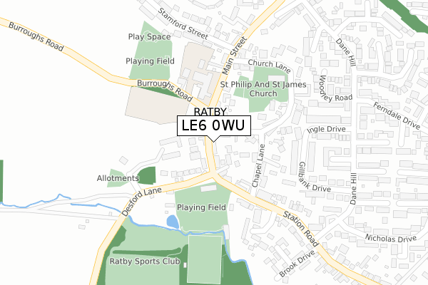
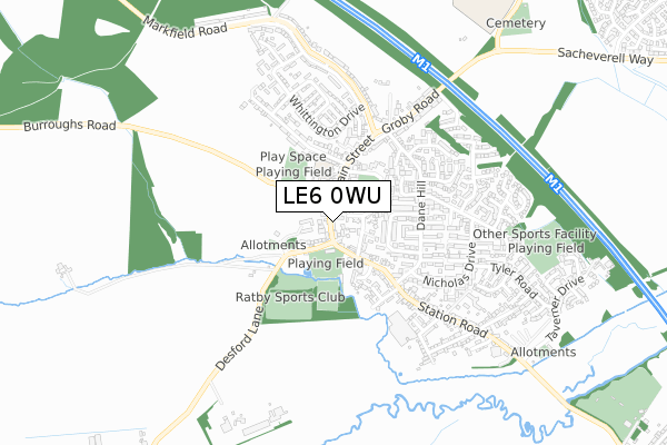
LE6 0WU is located in the Ratby, Bagworth and Thornton electoral ward, within the local authority district of Hinckley and Bosworth and the English Parliamentary constituency of Bosworth. The Sub Integrated Care Board (ICB) Location is NHS Leicester, Leicestershire and Rutland ICB - 04V and the police force is Leicestershire. This postcode has been in use since February 2020.


GetTheData
Source: OS Open Zoomstack (Ordnance Survey)
Licence: Open Government Licence (requires attribution)
Attribution: Contains OS data © Crown copyright and database right 2025
Source: Open Postcode Geo
Licence: Open Government Licence (requires attribution)
Attribution: Contains OS data © Crown copyright and database right 2025; Contains Royal Mail data © Royal Mail copyright and database right 2025; Source: Office for National Statistics licensed under the Open Government Licence v.3.0
| Easting | 451164 |
| Northing | 305813 |
| Latitude | 52.647666 |
| Longitude | -1.245200 |
GetTheData
Source: Open Postcode Geo
Licence: Open Government Licence
| Country | England |
| Postcode District | LE6 |
➜ See where LE6 is on a map ➜ Where is Ratby? | |
GetTheData
Source: Land Registry Price Paid Data
Licence: Open Government Licence
| Ward | Ratby, Bagworth And Thornton |
| Constituency | Bosworth |
GetTheData
Source: ONS Postcode Database
Licence: Open Government Licence
| Bulls Head (Main Street) | Ratby | 58m |
| Bulls Head (Main Street) | Ratby | 59m |
| Main Street (Desford Lane) | Ratby | 98m |
| Main Street (Desford Lane) | Ratby | 104m |
| Stamford Street (Main Street) | Ratby | 120m |
GetTheData
Source: NaPTAN
Licence: Open Government Licence
GetTheData
Source: ONS Postcode Database
Licence: Open Government Licence


➜ Get more ratings from the Food Standards Agency
GetTheData
Source: Food Standards Agency
Licence: FSA terms & conditions
| Last Collection | |||
|---|---|---|---|
| Location | Mon-Fri | Sat | Distance |
| Ratby Post Office | 16:00 | 11:30 | 7m |
| Highfield Road | 16:00 | 08:30 | 1,784m |
| Laundon Way | 16:00 | 08:45 | 1,798m |
GetTheData
Source: Dracos
Licence: Creative Commons Attribution-ShareAlike
The below table lists the International Territorial Level (ITL) codes (formerly Nomenclature of Territorial Units for Statistics (NUTS) codes) and Local Administrative Units (LAU) codes for LE6 0WU:
| ITL 1 Code | Name |
|---|---|
| TLF | East Midlands (England) |
| ITL 2 Code | Name |
| TLF2 | Leicestershire, Rutland and Northamptonshire |
| ITL 3 Code | Name |
| TLF22 | Leicestershire CC and Rutland |
| LAU 1 Code | Name |
| E07000132 | Hinckley and Bosworth |
GetTheData
Source: ONS Postcode Directory
Licence: Open Government Licence
The below table lists the Census Output Area (OA), Lower Layer Super Output Area (LSOA), and Middle Layer Super Output Area (MSOA) for LE6 0WU:
| Code | Name | |
|---|---|---|
| OA | E00131315 | |
| LSOA | E01025877 | Hinckley and Bosworth 003B |
| MSOA | E02005379 | Hinckley and Bosworth 003 |
GetTheData
Source: ONS Postcode Directory
Licence: Open Government Licence
| LE6 0JG | Main Street | 19m |
| LE6 0JA | Berrys Lane | 57m |
| LE6 0LE | Desford Lane | 106m |
| LE6 0JD | Chapel Lane | 128m |
| LE6 0JE | Church Lane | 157m |
| LE6 0LN | Main Street | 175m |
| LE6 0LL | Main Street | 209m |
| LE6 0JF | Church Lane | 232m |
| LE6 0NH | Gillbank Drive | 246m |
| LE6 0NN | Ingle Drive | 262m |
GetTheData
Source: Open Postcode Geo; Land Registry Price Paid Data
Licence: Open Government Licence