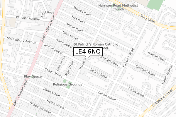
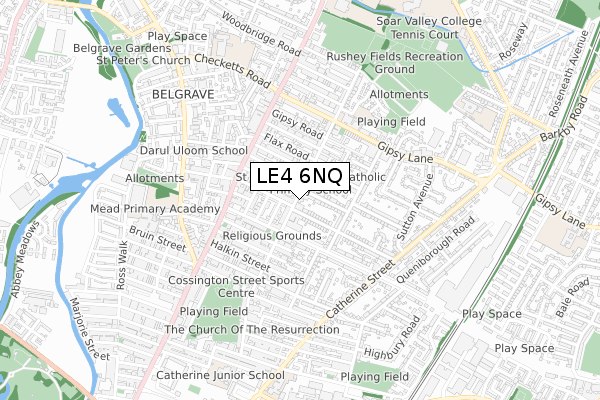
LE4 6NQ is located in the Rushey Mead electoral ward, within the unitary authority of Leicester and the English Parliamentary constituency of Leicester East. The Sub Integrated Care Board (ICB) Location is NHS Leicester, Leicestershire and Rutland ICB - 04C and the police force is Leicestershire. This postcode has been in use since January 2018.


GetTheData
Source: OS Open Zoomstack (Ordnance Survey)
Licence: Open Government Licence (requires attribution)
Attribution: Contains OS data © Crown copyright and database right 2025
Source: Open Postcode Geo
Licence: Open Government Licence (requires attribution)
Attribution: Contains OS data © Crown copyright and database right 2025; Contains Royal Mail data © Royal Mail copyright and database right 2025; Source: Office for National Statistics licensed under the Open Government Licence v.3.0
| Easting | 459949 |
| Northing | 306558 |
| Latitude | 52.653465 |
| Longitude | -1.115234 |
GetTheData
Source: Open Postcode Geo
Licence: Open Government Licence
| Country | England |
| Postcode District | LE4 |
➜ See where LE4 is on a map ➜ Where is Leicester? | |
GetTheData
Source: Land Registry Price Paid Data
Licence: Open Government Licence
| Ward | Rushey Mead |
| Constituency | Leicester East |
GetTheData
Source: ONS Postcode Database
Licence: Open Government Licence
| Arbour Road (Melton Road) | Belgrave | 281m |
| Lexham Street (Melton Road) | Belgrave | 292m |
| Lexham Street (Melton Road) | Belgrave | 292m |
| Arbour Road (Melton Road) | Belgrave | 319m |
| Moores Road (Melton Road) | Belgrave | 336m |
| Leicester Station | 2.5km |
| Syston Station | 5km |
GetTheData
Source: NaPTAN
Licence: Open Government Licence
| Percentage of properties with Next Generation Access | 100.0% |
| Percentage of properties with Superfast Broadband | 100.0% |
| Percentage of properties with Ultrafast Broadband | 0.0% |
| Percentage of properties with Full Fibre Broadband | 0.0% |
Superfast Broadband is between 30Mbps and 300Mbps
Ultrafast Broadband is > 300Mbps
| Percentage of properties unable to receive 2Mbps | 0.0% |
| Percentage of properties unable to receive 5Mbps | 0.0% |
| Percentage of properties unable to receive 10Mbps | 0.0% |
| Percentage of properties unable to receive 30Mbps | 0.0% |
GetTheData
Source: Ofcom
Licence: Ofcom Terms of Use (requires attribution)
GetTheData
Source: ONS Postcode Database
Licence: Open Government Licence


➜ Get more ratings from the Food Standards Agency
GetTheData
Source: Food Standards Agency
Licence: FSA terms & conditions
| Last Collection | |||
|---|---|---|---|
| Location | Mon-Fri | Sat | Distance |
| Canon Street | 16:30 | 12:00 | 137m |
| Melton Road/Melton Turn | 17:30 | 12:00 | 156m |
| Leire Street Post Office | 17:15 | 12:00 | 268m |
GetTheData
Source: Dracos
Licence: Creative Commons Attribution-ShareAlike
The below table lists the International Territorial Level (ITL) codes (formerly Nomenclature of Territorial Units for Statistics (NUTS) codes) and Local Administrative Units (LAU) codes for LE4 6NQ:
| ITL 1 Code | Name |
|---|---|
| TLF | East Midlands (England) |
| ITL 2 Code | Name |
| TLF2 | Leicestershire, Rutland and Northamptonshire |
| ITL 3 Code | Name |
| TLF21 | Leicester |
| LAU 1 Code | Name |
| E06000016 | Leicester |
GetTheData
Source: ONS Postcode Directory
Licence: Open Government Licence
The below table lists the Census Output Area (OA), Lower Layer Super Output Area (LSOA), and Middle Layer Super Output Area (MSOA) for LE4 6NQ:
| Code | Name | |
|---|---|---|
| OA | E00068786 | |
| LSOA | E01013626 | Leicester 007B |
| MSOA | E02002833 | Leicester 007 |
GetTheData
Source: ONS Postcode Directory
Licence: Open Government Licence
| LE4 6NP | Harrison Road | 59m |
| LE4 6PD | Redcar Road | 91m |
| LE4 6PG | Scarborough Road | 110m |
| LE4 6NE | Agar Street | 113m |
| LE4 6PE | Redcar Road | 116m |
| LE4 6PF | Scarborough Road | 117m |
| LE4 6ND | Agar Street | 129m |
| LE4 6NA | Acorn Street | 132m |
| LE4 6NR | Jermyn Street | 135m |
| LE4 6NB | Acorn Street | 138m |
GetTheData
Source: Open Postcode Geo; Land Registry Price Paid Data
Licence: Open Government Licence