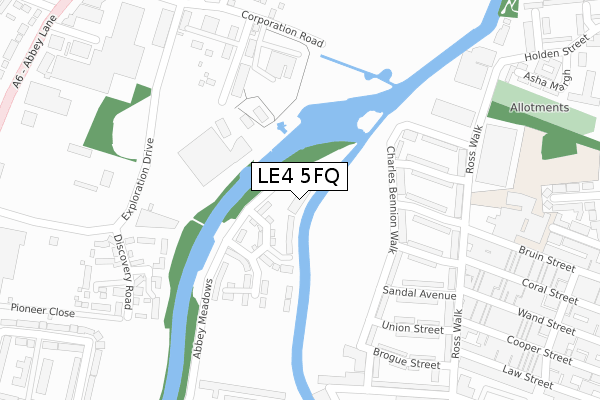
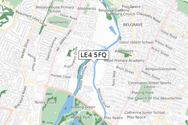
LE4 5FQ is located in the Abbey electoral ward, within the unitary authority of Leicester and the English Parliamentary constituency of Leicester West. The Sub Integrated Care Board (ICB) Location is NHS Leicester, Leicestershire and Rutland ICB - 04C and the police force is Leicestershire. This postcode has been in use since October 2019.


GetTheData
Source: OS Open Zoomstack (Ordnance Survey)
Licence: Open Government Licence (requires attribution)
Attribution: Contains OS data © Crown copyright and database right 2025
Source: Open Postcode Geo
Licence: Open Government Licence (requires attribution)
Attribution: Contains OS data © Crown copyright and database right 2025; Contains Royal Mail data © Royal Mail copyright and database right 2025; Source: Office for National Statistics licensed under the Open Government Licence v.3.0
| Easting | 458943 |
| Northing | 306495 |
| Latitude | 52.653009 |
| Longitude | -1.130115 |
GetTheData
Source: Open Postcode Geo
Licence: Open Government Licence
| Country | England |
| Postcode District | LE4 |
➜ See where LE4 is on a map ➜ Where is Leicester? | |
GetTheData
Source: Land Registry Price Paid Data
Licence: Open Government Licence
| Ward | Abbey |
| Constituency | Leicester West |
GetTheData
Source: ONS Postcode Database
Licence: Open Government Licence
| National Space Centre (Wallingford Road) | Belgrave | 193m |
| Chale Road (Abbey Lane) | Leicester | 505m |
| Byford Road (Abbey Lane) | Abbey Park | 520m |
| Abbey Meadows (Abbey Park Road) | Abbey Park | 522m |
| Corporation Road (Abbey Lane) | Belgrave | 523m |
| Leicester Station | 2.4km |
| Syston Station | 5.6km |
GetTheData
Source: NaPTAN
Licence: Open Government Licence
GetTheData
Source: ONS Postcode Database
Licence: Open Government Licence


➜ Get more ratings from the Food Standards Agency
GetTheData
Source: Food Standards Agency
Licence: FSA terms & conditions
| Last Collection | |||
|---|---|---|---|
| Location | Mon-Fri | Sat | Distance |
| Ross Walk | 17:30 | 12:00 | 424m |
| Abbey Park Post Office | 17:30 | 12:00 | 760m |
| Leire Street Post Office | 17:15 | 12:00 | 828m |
GetTheData
Source: Dracos
Licence: Creative Commons Attribution-ShareAlike
The below table lists the International Territorial Level (ITL) codes (formerly Nomenclature of Territorial Units for Statistics (NUTS) codes) and Local Administrative Units (LAU) codes for LE4 5FQ:
| ITL 1 Code | Name |
|---|---|
| TLF | East Midlands (England) |
| ITL 2 Code | Name |
| TLF2 | Leicestershire, Rutland and Northamptonshire |
| ITL 3 Code | Name |
| TLF21 | Leicester |
| LAU 1 Code | Name |
| E06000016 | Leicester |
GetTheData
Source: ONS Postcode Directory
Licence: Open Government Licence
The below table lists the Census Output Area (OA), Lower Layer Super Output Area (LSOA), and Middle Layer Super Output Area (MSOA) for LE4 5FQ:
| Code | Name | |
|---|---|---|
| OA | E00068661 | |
| LSOA | E01013605 | Leicester 003F |
| MSOA | E02002829 | Leicester 003 |
GetTheData
Source: ONS Postcode Directory
Licence: Open Government Licence
| LE4 5HU | Charles Bennion Walk | 188m |
| LE4 5HT | Moccasin Avenue | 227m |
| LE4 5AR | Beagle Close | 257m |
| LE4 5HZ | Sandal Avenue | 260m |
| LE4 5BR | Beagle Close | 272m |
| LE4 5EL | Beagle Close | 288m |
| LE4 5HH | Ross Walk | 289m |
| LE4 5HW | Union Street | 296m |
| LE4 5AB | Discovery Road | 307m |
| LE4 5NU | Exploration Drive | 322m |
GetTheData
Source: Open Postcode Geo; Land Registry Price Paid Data
Licence: Open Government Licence