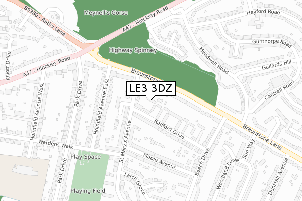
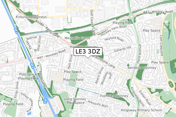
LE3 3DZ is located in the Thorpe Astley & St Mary's electoral ward, within the local authority district of Blaby and the English Parliamentary constituency of South Leicestershire. The Sub Integrated Care Board (ICB) Location is NHS Leicester, Leicestershire and Rutland ICB - 03W and the police force is Leicestershire. This postcode has been in use since April 2019.


GetTheData
Source: OS Open Zoomstack (Ordnance Survey)
Licence: Open Government Licence (requires attribution)
Attribution: Contains OS data © Crown copyright and database right 2025
Source: Open Postcode Geo
Licence: Open Government Licence (requires attribution)
Attribution: Contains OS data © Crown copyright and database right 2025; Contains Royal Mail data © Royal Mail copyright and database right 2025; Source: Office for National Statistics licensed under the Open Government Licence v.3.0
| Easting | 454396 |
| Northing | 303375 |
| Latitude | 52.625437 |
| Longitude | -1.197836 |
GetTheData
Source: Open Postcode Geo
Licence: Open Government Licence
| Country | England |
| Postcode District | LE3 |
➜ See where LE3 is on a map ➜ Where is Leicester? | |
GetTheData
Source: Land Registry Price Paid Data
Licence: Open Government Licence
| Ward | Thorpe Astley & St Mary's |
| Constituency | South Leicestershire |
GetTheData
Source: ONS Postcode Database
Licence: Open Government Licence
| Holmfield Avenue East (Braunstone Lane) | Leicester | 122m |
| Beech Drive (Braunstone Lane) | Leicester | 211m |
| Meadwell Road | Leicester | 227m |
| Meadwell Road | Braunstone | 242m |
| Wyatt Close (Hinckley Road) | Leicester | 262m |
| Leicester Station | 5km |
| South Wigston Station | 6.5km |
GetTheData
Source: NaPTAN
Licence: Open Government Licence
| Percentage of properties with Next Generation Access | 100.0% |
| Percentage of properties with Superfast Broadband | 100.0% |
| Percentage of properties with Ultrafast Broadband | 25.0% |
| Percentage of properties with Full Fibre Broadband | 0.0% |
Superfast Broadband is between 30Mbps and 300Mbps
Ultrafast Broadband is > 300Mbps
| Percentage of properties unable to receive 2Mbps | 0.0% |
| Percentage of properties unable to receive 5Mbps | 0.0% |
| Percentage of properties unable to receive 10Mbps | 0.0% |
| Percentage of properties unable to receive 30Mbps | 0.0% |
GetTheData
Source: Ofcom
Licence: Ofcom Terms of Use (requires attribution)
GetTheData
Source: ONS Postcode Database
Licence: Open Government Licence


➜ Get more ratings from the Food Standards Agency
GetTheData
Source: Food Standards Agency
Licence: FSA terms & conditions
| Last Collection | |||
|---|---|---|---|
| Location | Mon-Fri | Sat | Distance |
| L. F. E. Post Office | 17:30 | 12:00 | 393m |
| 1 Jewsbury Way | 17:30 | 12:00 | 710m |
| Packer Avenue | 17:00 | 12:00 | 753m |
GetTheData
Source: Dracos
Licence: Creative Commons Attribution-ShareAlike
The below table lists the International Territorial Level (ITL) codes (formerly Nomenclature of Territorial Units for Statistics (NUTS) codes) and Local Administrative Units (LAU) codes for LE3 3DZ:
| ITL 1 Code | Name |
|---|---|
| TLF | East Midlands (England) |
| ITL 2 Code | Name |
| TLF2 | Leicestershire, Rutland and Northamptonshire |
| ITL 3 Code | Name |
| TLF22 | Leicestershire CC and Rutland |
| LAU 1 Code | Name |
| E07000129 | Blaby |
GetTheData
Source: ONS Postcode Directory
Licence: Open Government Licence
The below table lists the Census Output Area (OA), Lower Layer Super Output Area (LSOA), and Middle Layer Super Output Area (MSOA) for LE3 3DZ:
| Code | Name | |
|---|---|---|
| OA | E00130249 | |
| LSOA | E01025666 | Blaby 004A |
| MSOA | E02005336 | Blaby 004 |
GetTheData
Source: ONS Postcode Directory
Licence: Open Government Licence
| LE3 3DR | Radford Drive | 73m |
| LE3 3DG | Braunstone Lane | 93m |
| LE3 3FT | St Marys Avenue | 120m |
| LE3 3DH | Braunstone Lane | 164m |
| LE3 1HW | Wyatt Close | 175m |
| LE3 3FH | Maple Avenue | 183m |
| LE3 3FD | Holmfield Avenue East | 194m |
| LE3 3FJ | Maple Avenue | 208m |
| LE3 1ST | Meadwell Road | 231m |
| LE3 3FN | Park Drive | 241m |
GetTheData
Source: Open Postcode Geo; Land Registry Price Paid Data
Licence: Open Government Licence