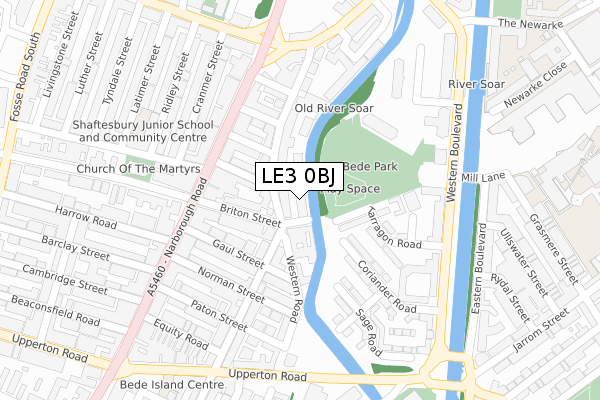
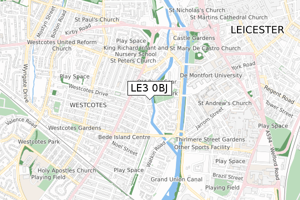
LE3 0BJ is located in the Westcotes electoral ward, within the unitary authority of Leicester and the English Parliamentary constituency of Leicester West. The Sub Integrated Care Board (ICB) Location is NHS Leicester, Leicestershire and Rutland ICB - 04C and the police force is Leicestershire. This postcode has been in use since November 2017.


GetTheData
Source: OS Open Zoomstack (Ordnance Survey)
Licence: Open Government Licence (requires attribution)
Attribution: Contains OS data © Crown copyright and database right 2025
Source: Open Postcode Geo
Licence: Open Government Licence (requires attribution)
Attribution: Contains OS data © Crown copyright and database right 2025; Contains Royal Mail data © Royal Mail copyright and database right 2025; Source: Office for National Statistics licensed under the Open Government Licence v.3.0
| Easting | 457845 |
| Northing | 303752 |
| Latitude | 52.628470 |
| Longitude | -1.146824 |
GetTheData
Source: Open Postcode Geo
Licence: Open Government Licence
| Country | England |
| Postcode District | LE3 |
➜ See where LE3 is on a map ➜ Where is Leicester? | |
GetTheData
Source: Land Registry Price Paid Data
Licence: Open Government Licence
| Ward | Westcotes |
| Constituency | Leicester West |
GetTheData
Source: ONS Postcode Database
Licence: Open Government Licence
| Gaul Street (Narborough Road) | West Bridge | 192m |
| Ruding Road (Narborough Road) | West Bridge | 198m |
| Gaul Street (Narborough Road) | West Bridge | 220m |
| Ruding Road (Narborough Road) | West Bridge | 227m |
| Narborough Road (Hinckley Road) | West Bridge | 290m |
| Leicester Station | 1.5km |
GetTheData
Source: NaPTAN
Licence: Open Government Licence
GetTheData
Source: ONS Postcode Database
Licence: Open Government Licence


➜ Get more ratings from the Food Standards Agency
GetTheData
Source: Food Standards Agency
Licence: FSA terms & conditions
| Last Collection | |||
|---|---|---|---|
| Location | Mon-Fri | Sat | Distance |
| Bruce Street | 17:30 | 12:00 | 403m |
| Hinckley Road | 17:30 | 12:00 | 404m |
| Jarrom Street | 17:30 | 12:00 | 410m |
GetTheData
Source: Dracos
Licence: Creative Commons Attribution-ShareAlike
The below table lists the International Territorial Level (ITL) codes (formerly Nomenclature of Territorial Units for Statistics (NUTS) codes) and Local Administrative Units (LAU) codes for LE3 0BJ:
| ITL 1 Code | Name |
|---|---|
| TLF | East Midlands (England) |
| ITL 2 Code | Name |
| TLF2 | Leicestershire, Rutland and Northamptonshire |
| ITL 3 Code | Name |
| TLF21 | Leicester |
| LAU 1 Code | Name |
| E06000016 | Leicester |
GetTheData
Source: ONS Postcode Directory
Licence: Open Government Licence
The below table lists the Census Output Area (OA), Lower Layer Super Output Area (LSOA), and Middle Layer Super Output Area (MSOA) for LE3 0BJ:
| Code | Name | |
|---|---|---|
| OA | E00169466 | |
| LSOA | E01013778 | Leicester 023C |
| MSOA | E02002849 | Leicester 023 |
GetTheData
Source: ONS Postcode Directory
Licence: Open Government Licence
| LE3 0GA | Western Road | 33m |
| LE3 0GE | Western Road | 58m |
| LE3 0AB | Briton Street | 67m |
| LE3 0BD | Roman Street | 95m |
| LE3 0BL | Saxon Street | 115m |
| LE3 0AA | Briton Street | 120m |
| LE3 0AP | Celt Street | 135m |
| LE3 0BR | Narborough Road | 143m |
| LE3 0GT | Wilberforce Road | 144m |
| LE3 0AW | Gaul Street | 146m |
GetTheData
Source: Open Postcode Geo; Land Registry Price Paid Data
Licence: Open Government Licence