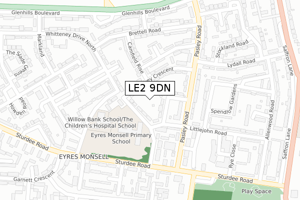
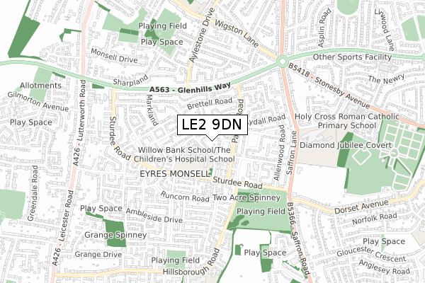
LE2 9DN is located in the Eyres Monsell electoral ward, within the unitary authority of Leicester and the English Parliamentary constituency of Leicester South. The Sub Integrated Care Board (ICB) Location is NHS Leicester, Leicestershire and Rutland ICB - 04C and the police force is Leicestershire. This postcode has been in use since July 2019.


GetTheData
Source: OS Open Zoomstack (Ordnance Survey)
Licence: Open Government Licence (requires attribution)
Attribution: Contains OS data © Crown copyright and database right 2025
Source: Open Postcode Geo
Licence: Open Government Licence (requires attribution)
Attribution: Contains OS data © Crown copyright and database right 2025; Contains Royal Mail data © Royal Mail copyright and database right 2025; Source: Office for National Statistics licensed under the Open Government Licence v.3.0
| Easting | 457829 |
| Northing | 299772 |
| Latitude | 52.592697 |
| Longitude | -1.147754 |
GetTheData
Source: Open Postcode Geo
Licence: Open Government Licence
| Country | England |
| Postcode District | LE2 |
➜ See where LE2 is on a map ➜ Where is Leicester? | |
GetTheData
Source: Land Registry Price Paid Data
Licence: Open Government Licence
| Ward | Eyres Monsell |
| Constituency | Leicester South |
GetTheData
Source: ONS Postcode Database
Licence: Open Government Licence
| Littlejohn Road (Pasley Road) | Eyres Monsell | 123m |
| Littlejohn Road (Pasley Road) | Eyres Monsell | 138m |
| Lydall Road (Pasley Road) | Eyres Monsell | 184m |
| Lydall Road (Pasley Road) | Eyres Monsell | 196m |
| Sturdee Close (Sturdee Road) | Eyres Monsell | 218m |
| South Wigston Station | 1.5km |
| Narborough Station | 4.5km |
| Leicester Station | 4.6km |
GetTheData
Source: NaPTAN
Licence: Open Government Licence
GetTheData
Source: ONS Postcode Database
Licence: Open Government Licence


➜ Get more ratings from the Food Standards Agency
GetTheData
Source: Food Standards Agency
Licence: FSA terms & conditions
| Last Collection | |||
|---|---|---|---|
| Location | Mon-Fri | Sat | Distance |
| Eyres Monsall Post Office | 17:00 | 12:00 | 328m |
| Sturdee Road | 17:00 | 12:00 | 341m |
| Packhorse Road | 17:00 | 12:00 | 490m |
GetTheData
Source: Dracos
Licence: Creative Commons Attribution-ShareAlike
The below table lists the International Territorial Level (ITL) codes (formerly Nomenclature of Territorial Units for Statistics (NUTS) codes) and Local Administrative Units (LAU) codes for LE2 9DN:
| ITL 1 Code | Name |
|---|---|
| TLF | East Midlands (England) |
| ITL 2 Code | Name |
| TLF2 | Leicestershire, Rutland and Northamptonshire |
| ITL 3 Code | Name |
| TLF21 | Leicester |
| LAU 1 Code | Name |
| E06000016 | Leicester |
GetTheData
Source: ONS Postcode Directory
Licence: Open Government Licence
The below table lists the Census Output Area (OA), Lower Layer Super Output Area (LSOA), and Middle Layer Super Output Area (MSOA) for LE2 9DN:
| Code | Name | |
|---|---|---|
| OA | E00069044 | |
| LSOA | E01013673 | Leicester 036A |
| MSOA | E02002862 | Leicester 036 |
GetTheData
Source: ONS Postcode Directory
Licence: Open Government Licence
| LE2 9BJ | Kepston Close | 42m |
| LE2 9AQ | Whitteney Drive South | 51m |
| LE2 9DF | Tovey Crescent | 69m |
| LE2 9BT | Pasley Road | 146m |
| LE2 9BH | Camfield Rise | 159m |
| LE2 9BS | Pasley Road | 182m |
| LE2 9BG | Bentinghouse Road | 186m |
| LE2 9AA | Brettell Road | 215m |
| LE2 9AH | Simmins Crescent | 219m |
| LE2 9AE | Pawley Gardens | 231m |
GetTheData
Source: Open Postcode Geo; Land Registry Price Paid Data
Licence: Open Government Licence