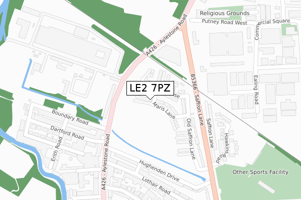
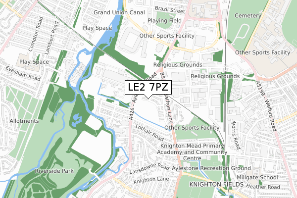
LE2 7PZ is located in the Saffron electoral ward, within the unitary authority of Leicester and the English Parliamentary constituency of Leicester South. The Sub Integrated Care Board (ICB) Location is NHS Leicester, Leicestershire and Rutland ICB - 04C and the police force is Leicestershire. This postcode has been in use since October 2018.


GetTheData
Source: OS Open Zoomstack (Ordnance Survey)
Licence: Open Government Licence (requires attribution)
Attribution: Contains OS data © Crown copyright and database right 2025
Source: Open Postcode Geo
Licence: Open Government Licence (requires attribution)
Attribution: Contains OS data © Crown copyright and database right 2025; Contains Royal Mail data © Royal Mail copyright and database right 2025; Source: Office for National Statistics licensed under the Open Government Licence v.3.0
| Easting | 458315 |
| Northing | 302357 |
| Latitude | 52.615881 |
| Longitude | -1.140126 |
GetTheData
Source: Open Postcode Geo
Licence: Open Government Licence
| Country | England |
| Postcode District | LE2 |
➜ See where LE2 is on a map ➜ Where is Leicester? | |
GetTheData
Source: Land Registry Price Paid Data
Licence: Open Government Licence
| Ward | Saffron |
| Constituency | Leicester South |
GetTheData
Source: ONS Postcode Database
Licence: Open Government Licence
| Gas Museum (Aylestone Road) | Aylestone | 104m |
| Gas Museum (Aylestone Road) | Aylestone | 130m |
| Boundary Road (Aylestone Road) | Aylestone | 164m |
| Boundary Road (Aylestone Road) | Aylestone | 164m |
| Aylestone Road (Saffron Lane) | Aylestone | 205m |
| Leicester Station | 2km |
| South Wigston Station | 3.8km |
GetTheData
Source: NaPTAN
Licence: Open Government Licence
| Percentage of properties with Next Generation Access | 100.0% |
| Percentage of properties with Superfast Broadband | 100.0% |
| Percentage of properties with Ultrafast Broadband | 100.0% |
| Percentage of properties with Full Fibre Broadband | 100.0% |
Superfast Broadband is between 30Mbps and 300Mbps
Ultrafast Broadband is > 300Mbps
| Percentage of properties unable to receive 2Mbps | 0.0% |
| Percentage of properties unable to receive 5Mbps | 0.0% |
| Percentage of properties unable to receive 10Mbps | 0.0% |
| Percentage of properties unable to receive 30Mbps | 0.0% |
GetTheData
Source: Ofcom
Licence: Ofcom Terms of Use (requires attribution)
GetTheData
Source: ONS Postcode Database
Licence: Open Government Licence


➜ Get more ratings from the Food Standards Agency
GetTheData
Source: Food Standards Agency
Licence: FSA terms & conditions
| Last Collection | |||
|---|---|---|---|
| Location | Mon-Fri | Sat | Distance |
| Boundary Road | 17:30 | 12:00 | 180m |
| Middlesex Road | 17:00 | 12:00 | 383m |
| Knighton Fields Road West | 17:30 | 12:00 | 620m |
GetTheData
Source: Dracos
Licence: Creative Commons Attribution-ShareAlike
The below table lists the International Territorial Level (ITL) codes (formerly Nomenclature of Territorial Units for Statistics (NUTS) codes) and Local Administrative Units (LAU) codes for LE2 7PZ:
| ITL 1 Code | Name |
|---|---|
| TLF | East Midlands (England) |
| ITL 2 Code | Name |
| TLF2 | Leicestershire, Rutland and Northamptonshire |
| ITL 3 Code | Name |
| TLF21 | Leicester |
| LAU 1 Code | Name |
| E06000016 | Leicester |
GetTheData
Source: ONS Postcode Directory
Licence: Open Government Licence
The below table lists the Census Output Area (OA), Lower Layer Super Output Area (LSOA), and Middle Layer Super Output Area (MSOA) for LE2 7PZ:
| Code | Name | |
|---|---|---|
| OA | E00069112 | |
| LSOA | E01013688 | Leicester 031D |
| MSOA | E02002857 | Leicester 031 |
GetTheData
Source: ONS Postcode Directory
Licence: Open Government Licence
| LE2 7QJ | Aylestone Road | 164m |
| LE2 7NA | Saffron Lane | 213m |
| LE2 7PW | Hughenden Drive | 214m |
| LE2 7ND | Saffron Lane | 228m |
| LE2 7QB | Lothair Road | 232m |
| LE2 7QT | Aylestone Road | 261m |
| LE2 7PX | Hughenden Drive | 270m |
| LE2 7PE | Boundary Road | 279m |
| LE2 7PQ | Dartford Road | 292m |
| LE2 7PG | Cavendish Road | 303m |
GetTheData
Source: Open Postcode Geo; Land Registry Price Paid Data
Licence: Open Government Licence