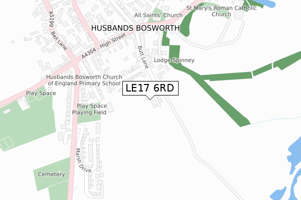
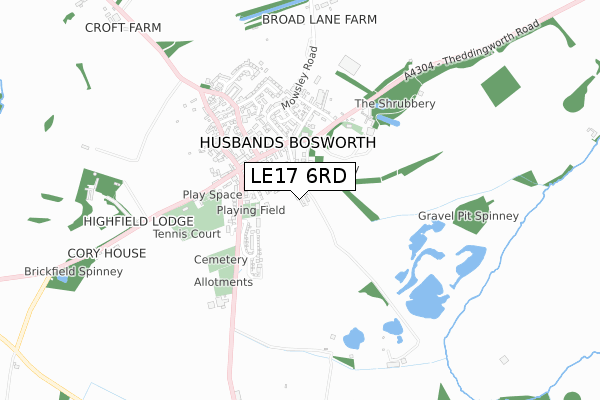
LE17 6RD maps, stats, and open data
LE17 6RD is located in the Bosworth electoral ward, within the local authority district of Harborough and the English Parliamentary constituency of Harborough. The Sub Integrated Care Board (ICB) Location is NHS Leicester, Leicestershire and Rutland ICB - 03W and the police force is Leicestershire. This postcode has been in use since July 2019.
LE17 6RD maps


Licence: Open Government Licence (requires attribution)
Attribution: Contains OS data © Crown copyright and database right 2025
Source: Open Postcode Geo
Licence: Open Government Licence (requires attribution)
Attribution: Contains OS data © Crown copyright and database right 2025; Contains Royal Mail data © Royal Mail copyright and database right 2025; Source: Office for National Statistics licensed under the Open Government Licence v.3.0
LE17 6RD geodata
| Easting | 464435 |
| Northing | 284099 |
| Latitude | 52.451074 |
| Longitude | -1.053279 |
Where is LE17 6RD?
| Country | England |
| Postcode District | LE17 |
Politics
| Ward | Bosworth |
|---|---|
| Constituency | Harborough |
House Prices
Sales of detached houses in LE17 6RD
5, BROMELL GROVE, HUSBANDS BOSWORTH, LUTTERWORTH, LE17 6RD 2019 15 NOV £580,000 |
THE GRAIN BARN, 4, BROMELL GROVE, HUSBANDS BOSWORTH, LUTTERWORTH, LE17 6RD 2019 14 AUG £550,000 |
TITHE BARN, 1, BROMELL GROVE, HUSBANDS BOSWORTH, LUTTERWORTH, LE17 6RD 2018 17 JUL £499,000 |
➜ Husbands Bosworth house prices
Licence: Contains HM Land Registry data © Crown copyright and database right 2025. This data is licensed under the Open Government Licence v3.0.
Transport
Nearest bus stops to LE17 6RD
| Church (Theddingworth Road) | Husbands Bosworth | 248m |
| Primary School (Welford Road) | Husbands Bosworth | 250m |
| Cherry Tree Close (High Street) | Husbands Bosworth | 256m |
| Cherry Tree Close (High Street) | Husbands Bosworth | 263m |
| Bell Inn (Kilworth Road) | Husbands Bosworth | 290m |
Broadband
Broadband access in LE17 6RD (2020 data)
| Percentage of properties with Next Generation Access | 100.0% |
| Percentage of properties with Superfast Broadband | 100.0% |
| Percentage of properties with Ultrafast Broadband | 0.0% |
| Percentage of properties with Full Fibre Broadband | 0.0% |
Superfast Broadband is between 30Mbps and 300Mbps
Ultrafast Broadband is > 300Mbps
Broadband limitations in LE17 6RD (2020 data)
| Percentage of properties unable to receive 2Mbps | 0.0% |
| Percentage of properties unable to receive 5Mbps | 0.0% |
| Percentage of properties unable to receive 10Mbps | 0.0% |
| Percentage of properties unable to receive 30Mbps | 0.0% |
Deprivation
26.4% of English postcodes are less deprived than LE17 6RD:Food Standards Agency
Three nearest food hygiene ratings to LE17 6RD (metres)


➜ Get more ratings from the Food Standards Agency
Nearest post box to LE17 6RD
| Last Collection | |||
|---|---|---|---|
| Location | Mon-Fri | Sat | Distance |
| Husbands Bosworth Rso | 16:00 | 10:45 | 265m |
| Theddingworth | 15:45 | 08:00 | 2,978m |
| High Street | 16:30 | 10:30 | 3,655m |
LE17 6RD ITL and LE17 6RD LAU
The below table lists the International Territorial Level (ITL) codes (formerly Nomenclature of Territorial Units for Statistics (NUTS) codes) and Local Administrative Units (LAU) codes for LE17 6RD:
| ITL 1 Code | Name |
|---|---|
| TLF | East Midlands (England) |
| ITL 2 Code | Name |
| TLF2 | Leicestershire, Rutland and Northamptonshire |
| ITL 3 Code | Name |
| TLF22 | Leicestershire CC and Rutland |
| LAU 1 Code | Name |
| E07000131 | Harborough |
LE17 6RD census areas
The below table lists the Census Output Area (OA), Lower Layer Super Output Area (LSOA), and Middle Layer Super Output Area (MSOA) for LE17 6RD:
| Code | Name | |
|---|---|---|
| OA | E00130754 | |
| LSOA | E01025771 | Harborough 005A |
| MSOA | E02005371 | Harborough 005 |
Nearest postcodes to LE17 6RD
| LE17 6LL | Lammas Close | 95m |
| LE17 6LN | Butt Lane | 155m |
| LE17 6HU | Waterworks Way | 169m |
| LE17 6NB | Cherry Tree Close | 173m |
| LE17 6JU | School Lane | 190m |
| LE17 6PT | Holly Mews | 194m |
| LE17 6LH | High Street | 225m |
| LE17 6JT | The Green | 245m |
| LE17 6LJ | High Street | 246m |
| LE17 6JX | Welford Road | 269m |